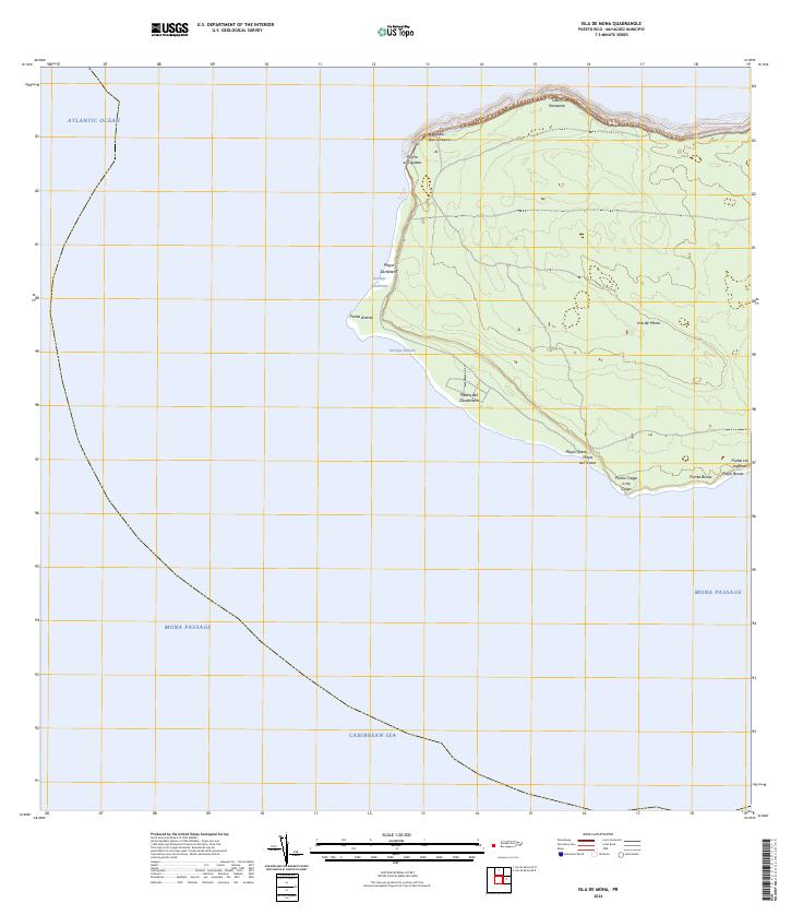
2024 Map of Isla de Mona
USGS Topo · Published 2024About this map
Isla de Mona rises from the Mona Passage as a distinct limestone plateau, positioned where the Atlantic Ocean meets the Caribbean Sea. This modern topographic survey illustrates the island's coastal geography, dominated by steep cliffs and strategic maritime points like Cabo Noroeste and Cabo Barrionuevo. The western and southern shores provide the primary access points to the interior, with small beaches and landings such as Playa Sardinera and the Anclaje Isabela serving as key nautical landmarks. The southern coastline is particularly detailed, showing the relationship between rocky features like Piedra del Carabinero and the sandy stretches of Playa Uvero. This map is an essential reference for understanding the physical isolation and natural preservation of this uninhabited island between Puerto Rico and Hispaniola.
Find a feature on this map
19 named features on this map. Tap any name to fly to it.
Don’t see what you’re looking for? This feature index may not catch every label — zoom into the map to look around manually.
Map Details
Editions of this 2024 Isla de Mona Map
This is the sole edition of this map. No revisions or reprints were ever made.
Other maps of this area
1944 · Isla Mona
USGS Topo · 1:20,000
2013 · Isla de Mona OE N
USGS Topo · 1:20,000
2013 · Isla de Mona
USGS Topo · 1:20,000
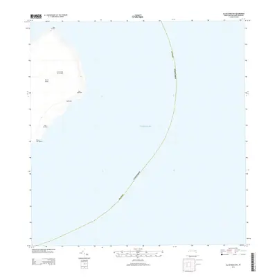
2013 · Isla de Mona OE E
USGS Topo · 1:20,000
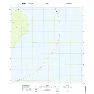
2018 · Isla de Mona OE E
USGS Topo · 1:20,000
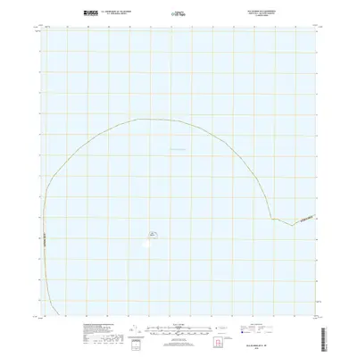
2018 · Isla de Mona OE N
USGS Topo · 1:20,000
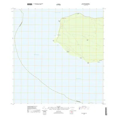
2018 · Isla de Mona
USGS Topo · 1:20,000
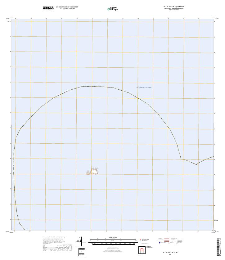
2024 · Isla de Mona OE N
USGS Topo · 1:20,000
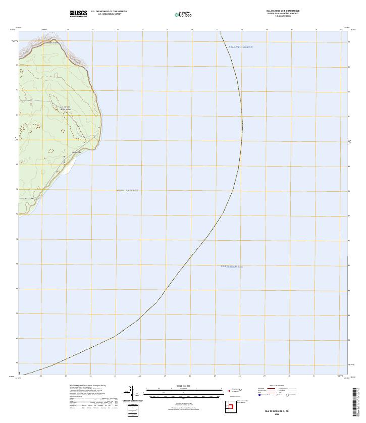
2024 · Isla de Mona OE E
USGS Topo · 1:20,000