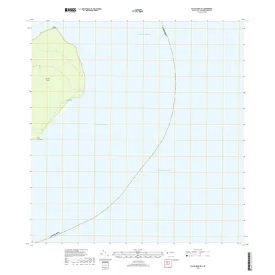
2018 Map of Isla de Mona OE E
USGS Topo · Published 2018About this map
Isla de Mona occupies the eastern edge of this maritime survey, marking the threshold between the Atlantic Ocean and the Caribbean Sea. The rugged eastern coastline is defined by prominent coastal markers including the northern headland at Cabo el Toro, the sharp projection of Punta Este, and the southern reaching Punta Los Ingleses. This specific region within the Mona Passage serves as a critical geographic waypoint where the territorial waters of Puerto Rico transition into open sea. The sparse inland features emphasize the island's character as a managed natural environment, primarily utilized for navigation and conservation rather than dense settlement.
Find a feature on this map
8 named features on this map. Tap any name to fly to it.
Don’t see what you’re looking for? This feature index may not catch every label — zoom into the map to look around manually.
Map Details
Editions of this 2018 Isla de Mona OE E Map
This is the sole edition of this map. No revisions or reprints were ever made.
Other maps of this area
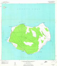
1944 · Isla Mona
USGS Topo · 1:20,000
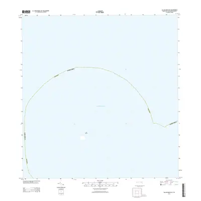
2013 · Isla de Mona OE N
USGS Topo · 1:20,000
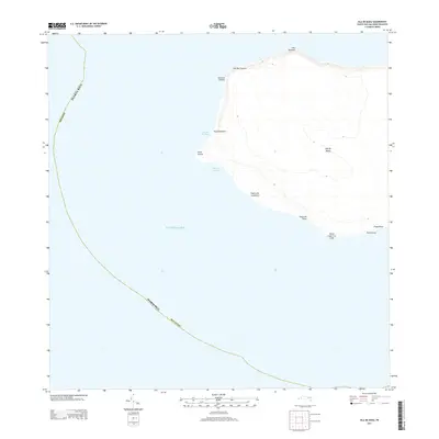
2013 · Isla de Mona
USGS Topo · 1:20,000
2013 · Isla de Mona OE E
USGS Topo · 1:20,000
2018 · Isla de Mona OE N
USGS Topo · 1:20,000
2018 · Isla de Mona
USGS Topo · 1:20,000
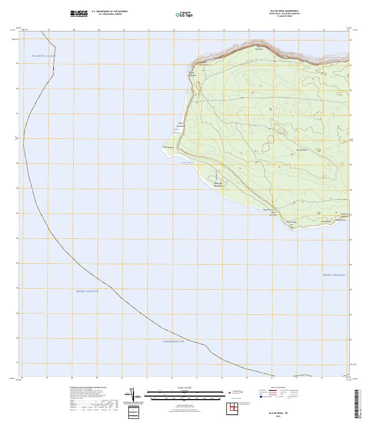
2024 · Isla de Mona
USGS Topo · 1:20,000
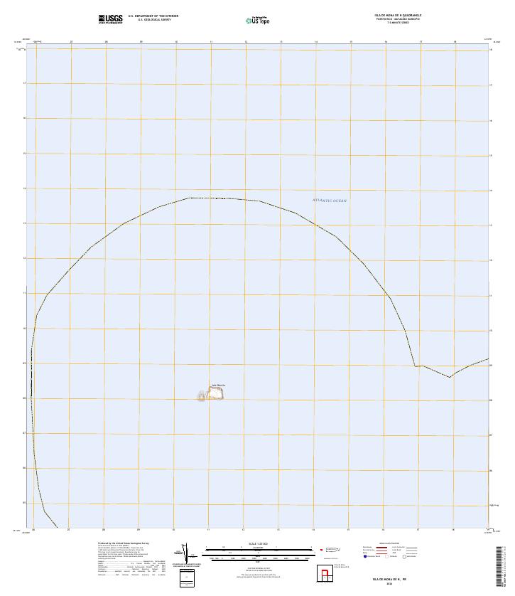
2024 · Isla de Mona OE N
USGS Topo · 1:20,000
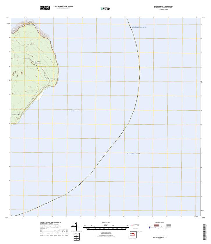
2024 · Isla de Mona OE E
USGS Topo · 1:20,000