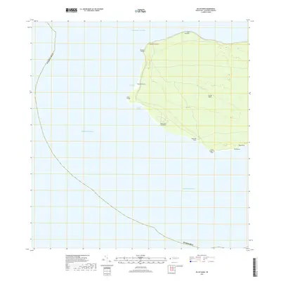
2018 Map of Isla de Mona
USGS Topo · Published 2018About this map
Isla de Mona stands as a limestone plateau between the Atlantic Ocean and the Caribbean Sea, defined by its steep coastal cliffs and remote maritime orientation. This 2018 survey details the western and southern reaches of the island, where the Mona Passage meets the shore at Punta Arenas. The map highlights critical maritime landing points such as Anclaje Sardinera and Anclaje Isabela, which have served as the primary gateways to this isolated environment for centuries. Topographical detail tracks the transition from the high bluffs at Cabo Noroeste and Punta el Capitán down to the coastal levels of Playa Sardinera. From the uniquely named Punta Caigo o no Caigo to the southeastern stretch of Playa Brava, the sheet captures a landscape largely shaped by its natural coastal features and minimal road infrastructure.
Find a feature on this map
17 named features on this map. Tap any name to fly to it.
Don’t see what you’re looking for? This feature index may not catch every label — zoom into the map to look around manually.
Map Details
Editions of this 2018 Isla de Mona Map
This is the sole edition of this map. No revisions or reprints were ever made.
Other maps of this area
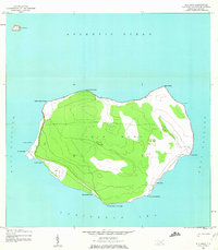
1944 · Isla Mona
USGS Topo · 1:20,000
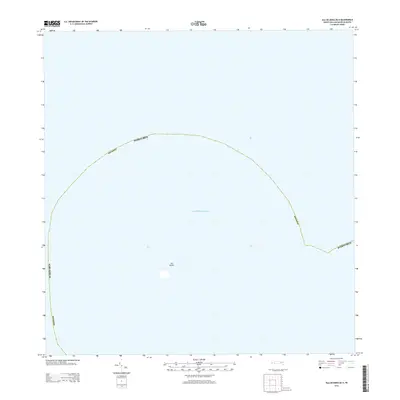
2013 · Isla de Mona OE N
USGS Topo · 1:20,000
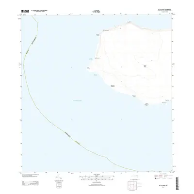
2013 · Isla de Mona
USGS Topo · 1:20,000
2013 · Isla de Mona OE E
USGS Topo · 1:20,000
2018 · Isla de Mona OE E
USGS Topo · 1:20,000
2018 · Isla de Mona OE N
USGS Topo · 1:20,000
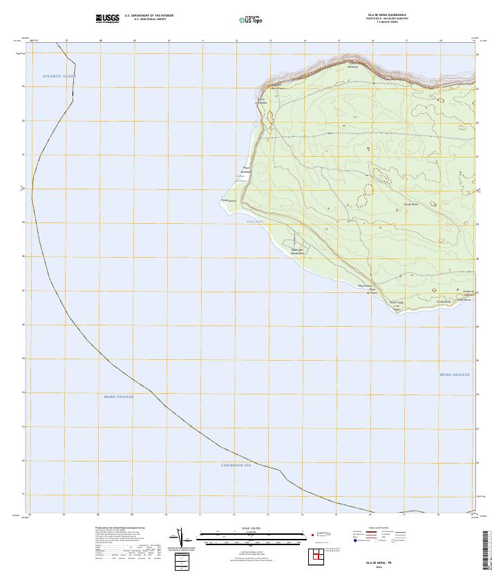
2024 · Isla de Mona
USGS Topo · 1:20,000
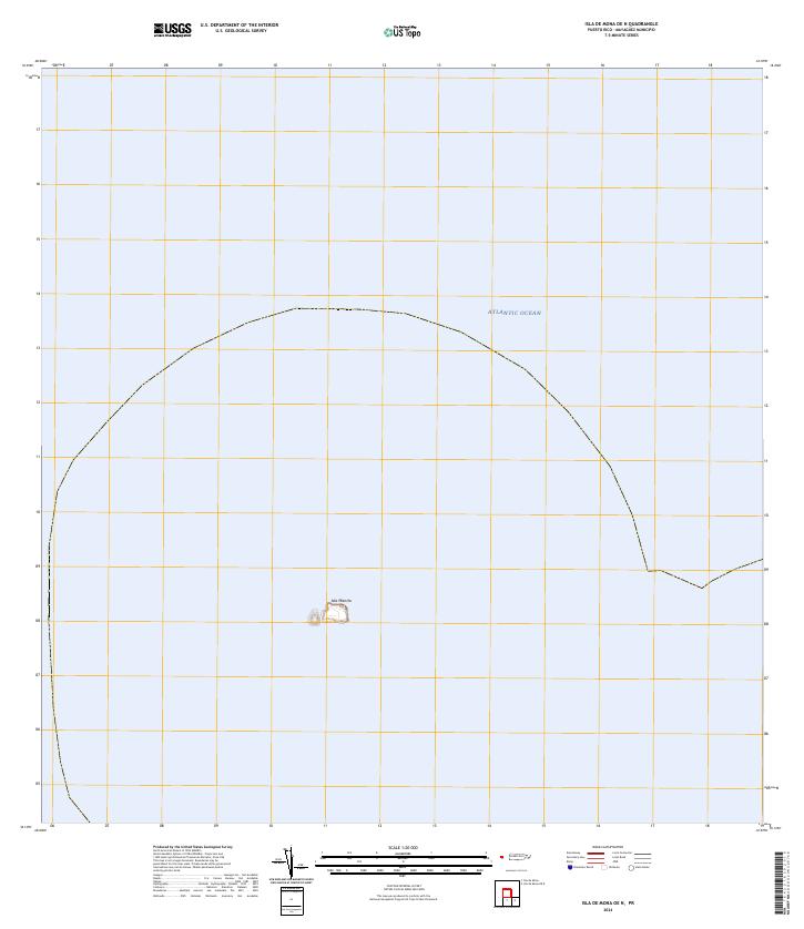
2024 · Isla de Mona OE N
USGS Topo · 1:20,000
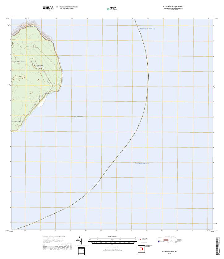
2024 · Isla de Mona OE E
USGS Topo · 1:20,000