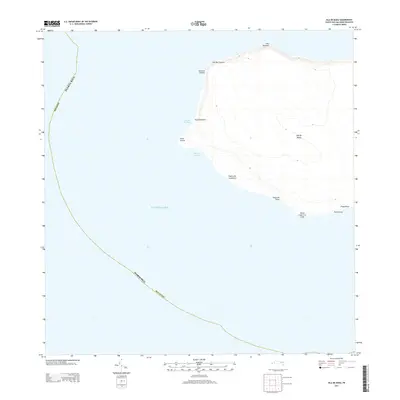
2013 Map of Isla de Mona
USGS Topo · Published 2013About this map
Isla de Mona, a limestone plateau rising from the Caribbean Sea, is documented here in its contemporary state within the municipality of Mayagüez. The island's geography is defined by a series of prominent headlands, including Cabo Noroeste and Cabo Barrionuevo on the northwestern coast. Access to the island's shore is concentrated at several landing points and anchorages such as Anclaje Sardinera and Anclaje Isabela.
Find a feature on this map
16 named features on this map. Tap any name to fly to it.
Don’t see what you’re looking for? This feature index may not catch every label — zoom into the map to look around manually.
Map Details
Editions of this 2013 Isla de Mona Map
This is the sole edition of this map. No revisions or reprints were ever made.
Other maps of this area
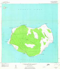
1944 · Isla Mona
USGS Topo · 1:20,000
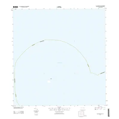
2013 · Isla de Mona OE N
USGS Topo · 1:20,000
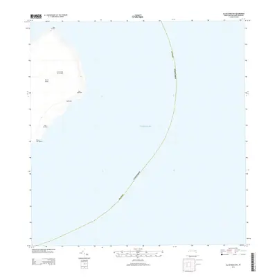
2013 · Isla de Mona OE E
USGS Topo · 1:20,000
2018 · Isla de Mona OE E
USGS Topo · 1:20,000
2018 · Isla de Mona OE N
USGS Topo · 1:20,000
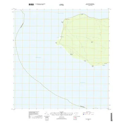
2018 · Isla de Mona
USGS Topo · 1:20,000
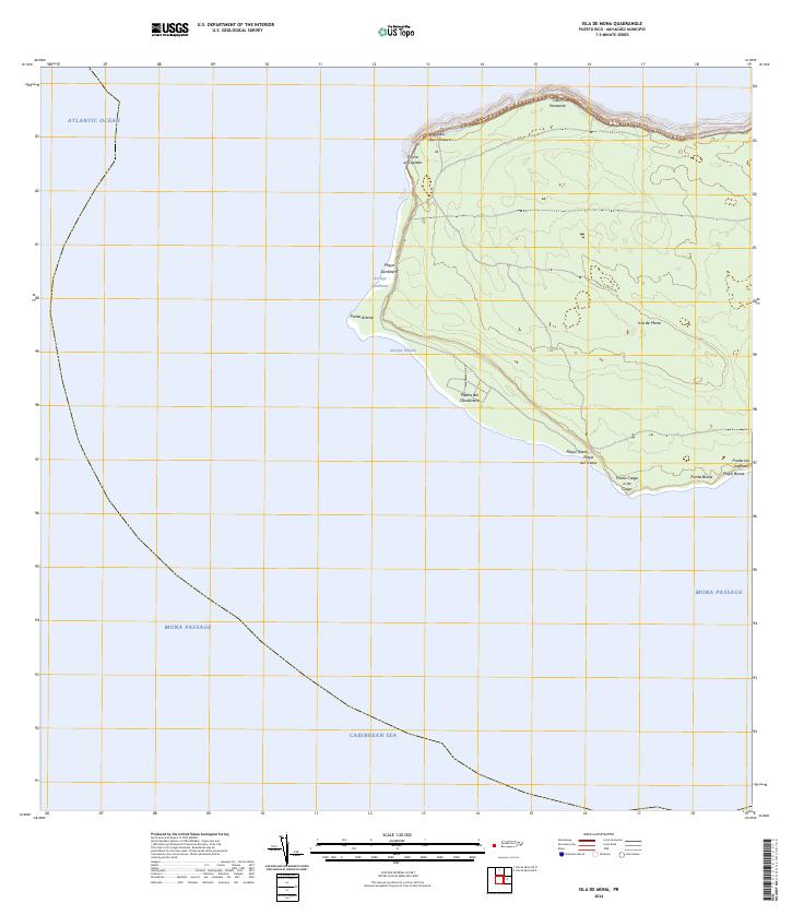
2024 · Isla de Mona
USGS Topo · 1:20,000
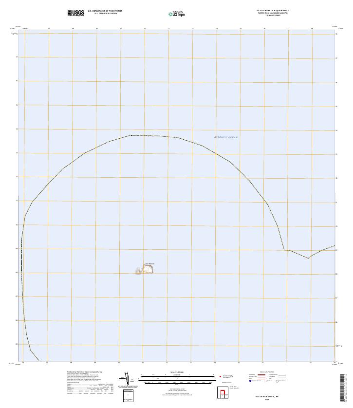
2024 · Isla de Mona OE N
USGS Topo · 1:20,000
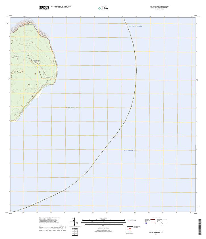
2024 · Isla de Mona OE E
USGS Topo · 1:20,000