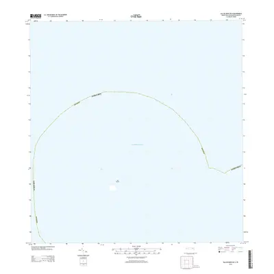
2013 Map of Isla de Mona OE N
USGS Topo · Published 2013About this map
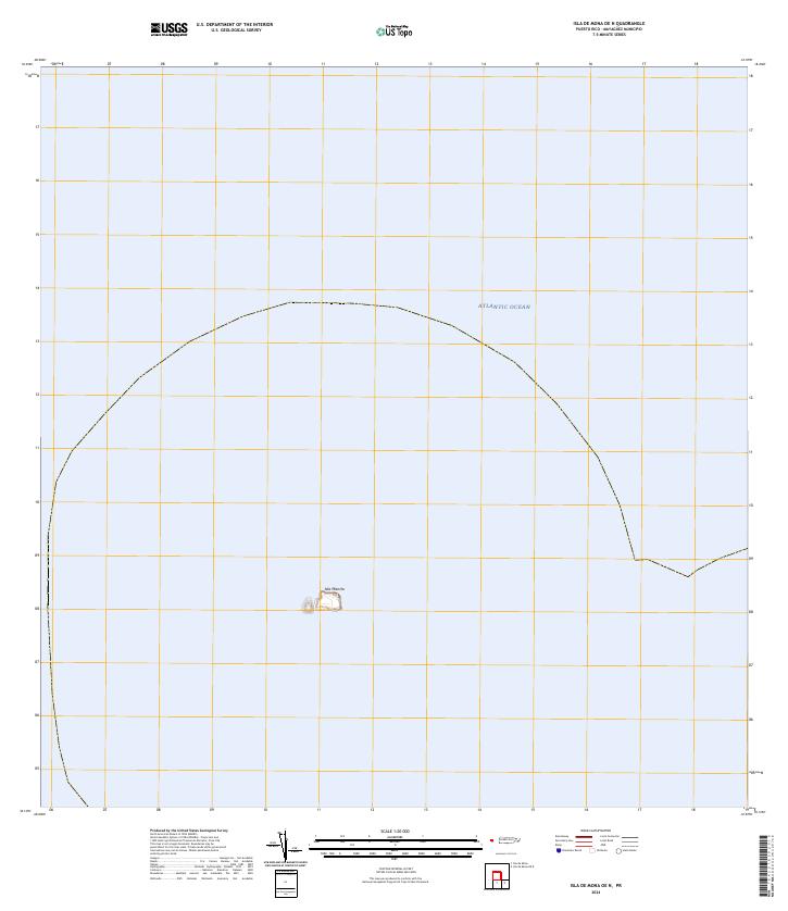
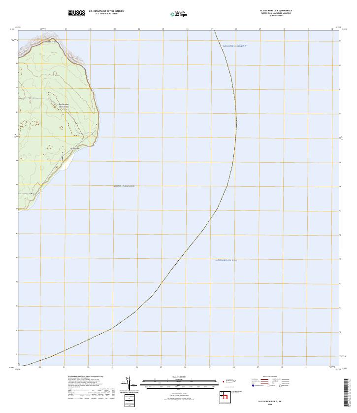
Isla Monito stands as the primary terrestrial feature in this maritime survey within the Caribbean Sea. Located west of the main island of Puerto Rico and under the jurisdiction of Mayagüez, this small, uninhabited limestone islet is part of the Mona Passage. The map illustrates the surrounding territorial waters and the vast aquatic expanse that separates the Mona and Monito islands from the mainland. This 2013 data release from the U.S. Geological Survey focuses on the nautical boundaries and the isolated geographical position of this protected wildlife refuge, providing a clear view of the island's isolation within the open sea.
Find a feature on this map
4 named features on this map. Tap any name to fly to it.
Don’t see what you’re looking for? This feature index may not catch every label — zoom into the map to look around manually.
Map Details
Editions of this 2013 Isla de Mona OE N Map
This is the sole edition of this map. No revisions or reprints were ever made.
Other maps of this area
1944 · Isla Mona
USGS Topo · 1:20,000
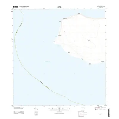
2013 · Isla de Mona
USGS Topo · 1:20,000
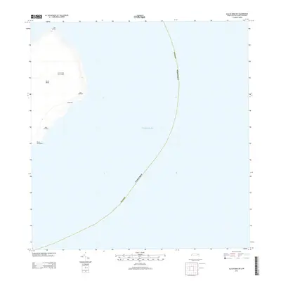
2013 · Isla de Mona OE E
USGS Topo · 1:20,000
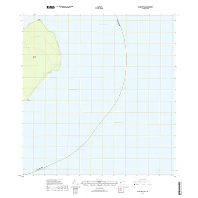
2018 · Isla de Mona OE E
USGS Topo · 1:20,000
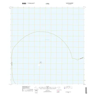
2018 · Isla de Mona OE N
USGS Topo · 1:20,000
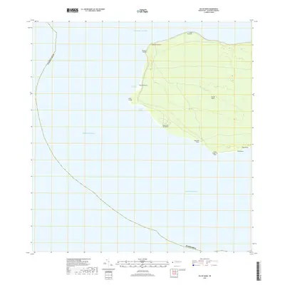
2018 · Isla de Mona
USGS Topo · 1:20,000
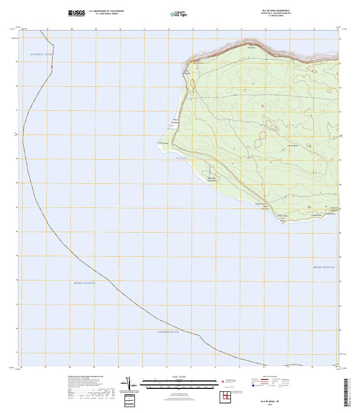
2024 · Isla de Mona
USGS Topo · 1:20,000
2024 · Isla de Mona OE N
USGS Topo · 1:20,000
2024 · Isla de Mona OE E
USGS Topo · 1:20,000