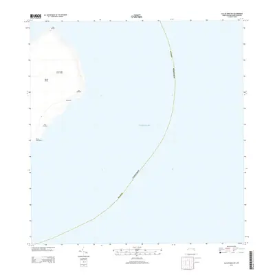
2013 Map of Isla de Mona OE E
USGS Topo · Published 2013About this map
Mona Lighthouse stands as a lonely sentinel on the eastern edge of Isla de Mona, an isolated limestone plateau situated in the Caribbean Sea. This 2013 survey details the eastern coastline of the island, where the sharp cliffs of Cabo el Toro meet the sea and the coastal terrain includes Los Corrales de los Indios. The map documents the relationship between the rugged marine environment and the sparse land-based infrastructure within the Mayagüez municipal boundaries. Notable coastal points such as Punta Este and Punta Los Ingleses define the southeastern profile of the island, while the landing at Playa de Pajaros represents one of the few breaks in the surrounding bluffs.
Find a feature on this map
9 named features on this map. Tap any name to fly to it.
Don’t see what you’re looking for? This feature index may not catch every label — zoom into the map to look around manually.
Map Details
Editions of this 2013 Isla de Mona OE E Map
This is the sole edition of this map. No revisions or reprints were ever made.
Other maps of this area
1944 · Isla Mona
USGS Topo · 1:20,000
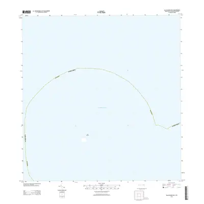
2013 · Isla de Mona OE N
USGS Topo · 1:20,000
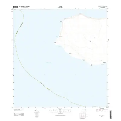
2013 · Isla de Mona
USGS Topo · 1:20,000
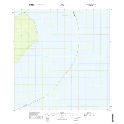
2018 · Isla de Mona OE E
USGS Topo · 1:20,000
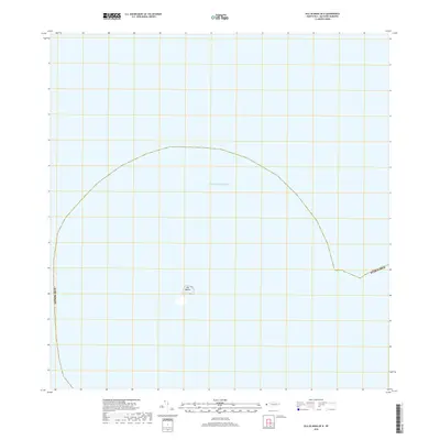
2018 · Isla de Mona OE N
USGS Topo · 1:20,000
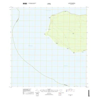
2018 · Isla de Mona
USGS Topo · 1:20,000
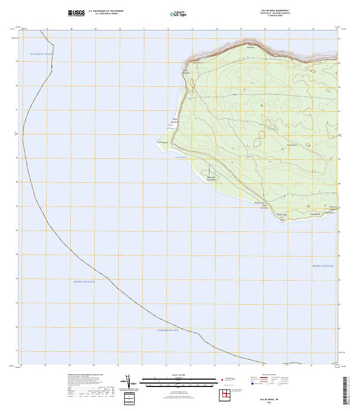
2024 · Isla de Mona
USGS Topo · 1:20,000
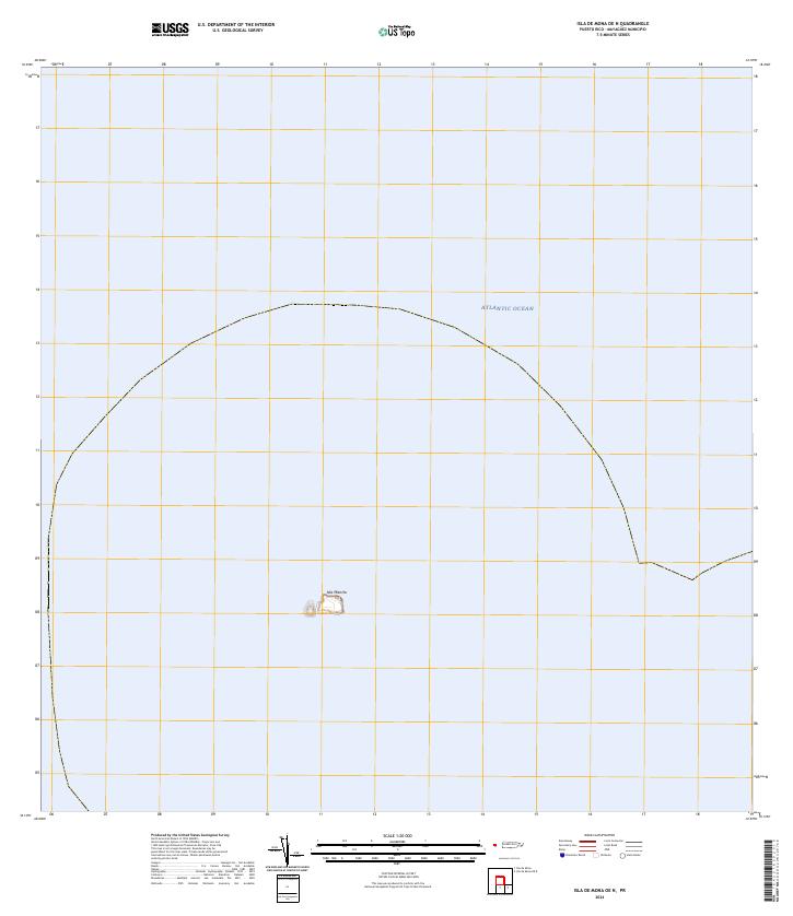
2024 · Isla de Mona OE N
USGS Topo · 1:20,000
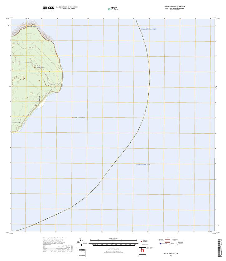
2024 · Isla de Mona OE E
USGS Topo · 1:20,000