Old Maps of Sector La Hoya, Orocovis for Metal Detecting
Plan your next treasure hunt with 7 historic maps of Sector La Hoya. Find old homesites, ghost towns, trails, and gathering spots that may be lost to time — perfect for identifying promising metal detecting locations.
- Locate forgotten sites: Uncover places like long-lost settlements, abandoned rail lines, or gathering spots.
- Plan better hunts: Use map overlays combined with LiDAR or satellite views to narrow in on historically rich areas.
- Made for detectorists: Thousands of hobbyists use these maps to discover relics, coins, and hidden history.
Use these historic maps to boost your research and find new opportunities beneath the surface of Sector La Hoya.
Sector La Hoya, Orocovis maps
(7)- 1946 Map of Orocovis
 1946 Orocovis1946 Print · USGSThe Puerto Rican highlands are captured here in the mid-1940s, showing the ridge-top settlements and deep river valleys of the interior. Researchers can trace the rural infrastructure of the era, from the Lago de Matrullas reservoir to landmarks like the Capilla de San José and Hacienda Limón.3 unique versions available
 - 1947 Map of Orocovis SE
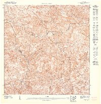 1947 Orocovis SE1947 Print · USGSThe central mountains of Puerto Rico in the mid-1940s are shown here as a landscape of steep ridges and rural watersheds. Genealogists and historians can trace family locations along the Rio Toa Vaca, the heights of Cerro El Malo, and the trails of the Cordillera Central.
 - 1952 Map of Orocovis, 1953 Print
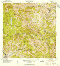 1952 Orocovis1953 Print · USGSThe central Puerto Rican highlands appear in great detail during the early fifties, documenting the complex network of barrio boundaries and mountain roads. Genealogists and historians can trace local landmarks like Hacienda Limon, the Capilla de San Jose, and the Escuela Segunda Unidad de Bauta.2 unique versions available
 - 1957 Map of Orocovis, 1960 Print
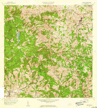 1957 Orocovis1960 Print · USGSThe central cordillera of Puerto Rico comes alive in the late fifties, showcasing the intricate mountain topography surrounding Orocovis. Genealogists and historians can trace family locations near Hacienda Limón, Villalba, and landmarks like Lago de Matrullas.3 unique versions available
 - 2013 Map of Orocovis, 2013 Print
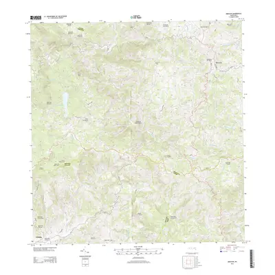 2013 Orocovis2013 Print · USGSThe heart of the Cordillera Central comes alive in this early twenty-first-century survey of Puerto Rico's mountain interior. Researchers can trace the winding paths of PR-143 past high peaks like Cerro Doña Juana and the waters of Lago de Matrullas.
 - 2018 Map of Orocovis, 2018 Print
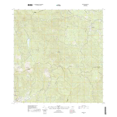 2018 Orocovis2018 Print · USGSThe central mountains of Puerto Rico are displayed here in the late 2010s, showing the high-altitude Divide between major watersheds. Researchers can trace the layout of Orocovis and Villalba, or locate family sites near the Cementerio Civil de Villalba and Cerro Doña Juana.
 - 2024 Map of Orocovis, 2024 Print
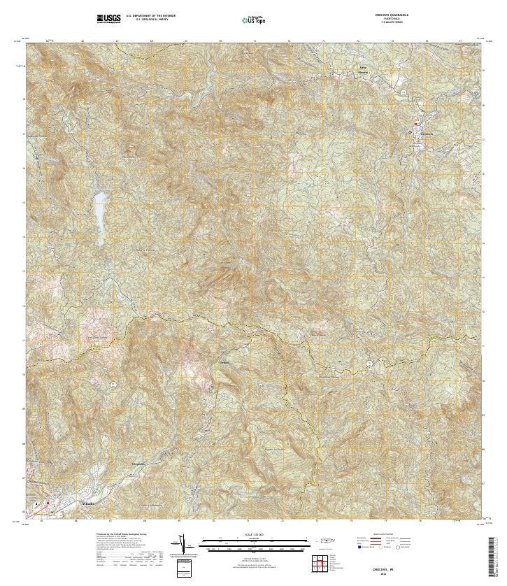 2024 Orocovis2024 Print · USGSThe high interior of the Cordillera Central comes into focus in this recent survey of the mountainous heart of the island. Genealogists and local historians can trace family roots through the rural sectors of Orocovis and Villalba, or locate the Cementerio Civil de Villalba and the Tribunal de Orocovis.
End of results
Showing maps 1-7 of 7
Top cities near Sector La Hoya
- Ponce historical maps
- Coamo historical maps
- Corozal historical maps
- Vega Alta historical maps
- Aibonito historical maps
- Juana Díaz historical maps
See more
Frequently asked questions
- What are the different types of historical maps available for Sector La Hoya?
- What is the oldest map of Sector La Hoya?
- Where can I purchase historical maps of Sector La Hoya for my home or office?
- Where can I download high-res historical maps of Sector La Hoya?
- Are there historical topographic maps available for Sector La Hoya?
- Is there historical aerial imagery available for Sector La Hoya?
- Where are historical maps of Sector La Hoya sourced from?