Old Maps of Barreal, Peñuelas
Explore 24 old maps of Barreal, spanning from 1946 to today. These high-resolution historic maps reveal how streets, neighborhoods, landmarks, and natural features evolved over time — perfect for genealogy, metal detecting, research, and local history exploration.
What you can do with these maps:
- See how Barreal changed over time: Compare historical maps to modern-day views to trace roads, homesites, rail lines & more.
- View detailed metadata: Each map includes creators, publishers, year, scale, and archive source.
- Overlay maps with satellite & LiDAR: Visualize the past alongside modern tools to explore terrain & human change.
- Trusted historical sources: Maps sourced from the USGS, Library of Congress, and other archives.
- Access maps your way: View online, download high-res files, or order prints for personal or research use.
Start exploring old maps of Barreal to uncover forgotten places, hidden landmarks, and the deep history beneath your feet.
Barreal, Peñuelas maps
(24)- 1946 Map of Yauco
 1946 Yauco1946 Print · USGSSouthern Puerto Rico in the 1940s reveals a landscape of industrial sugar mills and high-altitude coffee haciendas. Genealogists and historians can locate specific family-named estates like Hacienda Catalina or trace the rural schools such as the Escuela Segunda Unidad de Santo Domingo and the infrastructure around Central Rufina.3 unique versions available
 - 1946 Map of Monte Guilarte
 1946 Monte Guilarte1946 Print · USGSThe mountain interior of Puerto Rico near Adjuntas is captured here in the mid-1940s, showing a landscape defined by traditional plantation estates. Researchers can trace dozens of family-named sites like Hacienda Juanita and Hacienda Rosario or locate local landmarks like the Iglesia Monserrate.3 unique versions available
 - 1946 Map of Penuelas
 1946 Penuelas1946 Print · USGSSouthern Puerto Rico was a landscape of traditional haciendas and emerging hydroelectric power in the years following the war. Genealogists and historians can trace family-named estates like Hacienda Dolores and the path of the American Railroad of P. R.3 unique versions available
 - 1947 Map of Yauco NE
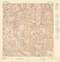 1947 Yauco NE1947 Print · USGSThe mountain interior of Guayanilla and Yauco is captured here during the late 1940s, showing a landscape defined by traditional haciendas and steep ridges. Genealogists and historians can trace family roots around Hacienda Catalina, Hacienda Mogote, and the Escuela Segunda Unidad de Santo Domingo.
 - 1947 Map of Penuelas NO
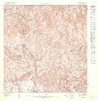 1947 Penuelas NO1947 Print · USGSThe high peaks of the Puerto Rican interior are captured here in the late 1940s as hydroelectric power transformed the region. Researchers can trace the early energy grid at Salto Garzas or locate family roots in mountain communities like Mata de Plátano.
 - 1947 Map of Monte Guilarte SE
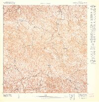 1947 Monte Guilarte SE1947 Print · USGSCentral Puerto Rico’s coffee-growing highlands come into focus in the late 1940s, showing the intersection of several mountain municipios. Genealogists and historians can trace family estates like Hacienda Esperanza and Hacienda Pietri near Monte Guilarte.
 - 1952 Map of Monte Guilarte, 1953 Print
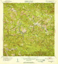 1952 Monte Guilarte1953 Print · USGSThe Cordillera Central mountains of Puerto Rico are mapped here in the early fifties during a period of robust rural agricultural life. Genealogists and historians can trace dozens of family estates, including Hacienda Indiera, Hacienda Balerosa, and the Hospital General de Castaner.2 unique versions available
 - 1952 Map of Penuelas, 1953 Print
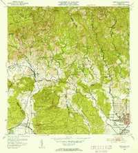 1952 Penuelas1953 Print · USGSPeñuelas and the southern foothills of the Cordillera Central are captured here in the early fifties during a period of industrial growth. You can trace the American Railroad of Porto Rico and locate historic estates like Hacienda Oliva and Hacienda Burenes.2 unique versions available
 - 1952 Map of Yauco, 1953 Print
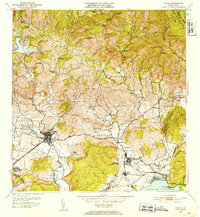 1952 Yauco1953 Print · USGSCoastal and mountain life in southern Puerto Rico are captured here just after the mid-century, from the sugar mills to the high haciendas. Genealogists and historians can trace family roots through named estates like Hacienda Mogote and the residential streets of Yauco.2 unique versions available
 - 1958 Map of Penuelas, 1961 Print
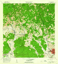 1958 Penuelas1961 Print · USGSSouthern Puerto Rico undergoes a mid-century industrial shift as mountain coffee lands meet coastal development. Genealogists and historians can trace family estates like Hacienda Dolores, old parish sites such as Iglesia San Marcus, and early infrastructure from the Refineria De Petroleo.
 - 1958 Map of Yauco, 1961 Print
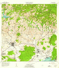 1958 Yauco1961 Print · USGSThe southwestern coast of Puerto Rico during the late fifties shows a landscape of historic coffee and sugar estates transitioning into an industrial era. Genealogists and historians can trace family landholdings from Hacienda Pintado to Hacienda Florida, or locate local landmarks like Central Rufina and the Cementerio Municipal.2 unique versions available
 - 1960 Map of Monte Guilarte, 1962 Print
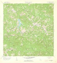 1960 Monte Guilarte1962 Print · USGSThe central highlands of Adjuntas and Lares are shown here in the early 1960s, a landscape defined by traditional mountain agriculture. Genealogists and historians can trace scores of family estates and rural institutions, from Hacienda Monserrate and Hacienda Buena Vista to the Escuela Mariana Bracetti.4 unique versions available
 - 1964 Map of Penuelas, 1966 Print
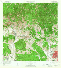 1964 Penuelas1966 Print · USGSSouthern Puerto Rico undergoes a transformation in the 1960s as industrial growth reaches the coastal valleys. Trace the footprint of agricultural estates like Hacienda Dolores and Hacienda Josefa alongside the massive Refinería de Petróleo.2 unique versions available
 - 1966 Map of Yauco, 1968 Print
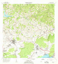 1966 Yauco1968 Print · USGSThe hills surrounding Yauco are documented here during a period of transition between traditional mountain estates and coastal industry. Researchers can trace family roots through numerous named estates like Hacienda Gloria and Hacienda Catalina or locate rural landmarks like Iglesia El Paraiso.4 unique versions available
 - 1972 Map of Penuelas, 1974 Print
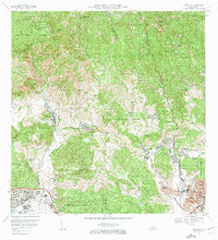 1972 Penuelas1974 Print · USGSPeñuelas and the western outskirts of Ponce are captured in the early seventies during a period of significant suburban and industrial expansion. Researchers can trace the heritage of local estates like Hacienda Esperanza or locate community anchors such as Iglesia San Mateo and Parque Montaner.2 unique versions available
 - 2013 Map of Monte Guilarte, 2013 Print
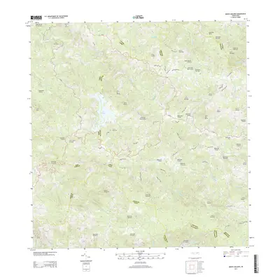 2013 Monte Guilarte2013 Print · USGSThe Central Mountain Range of Puerto Rico is captured here in the early twenty-first century, showcasing a landscape of high peaks and deep river headwaters. Researchers can trace local homesteads and access routes along Camino Damian Rodriguez or find the secluded Lago Guayo and the Adjuntas Airport.
 - 2013 Map of Yauco, 2013 Print
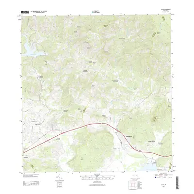 2013 Yauco2013 Print · USGSSouthern Puerto Rico in the early twenty-first century reveals a landscape of deep valleys and coastal plains. Researchers can trace the development of Yauco and Guayanilla while locating specific local sites like the Cementerio Municipal and Lago Lucchetti.
 - 2013 Map of Penuelas, 2013 Print
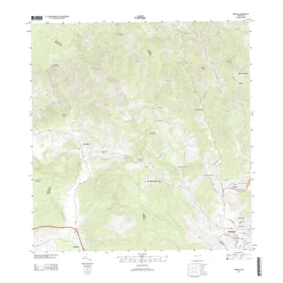 2013 Penuelas2013 Print · USGSPeñuelas and the western outskirts of Ponce are shown here during the early twenty-first century as urban development meets the southern cordillera. Researchers can locate specific family sectors and burial sites like Cementerio La Piedad or trace the winding course of the Rio Tallaboa.
 - 2018 Map of Yauco, 2018 Print
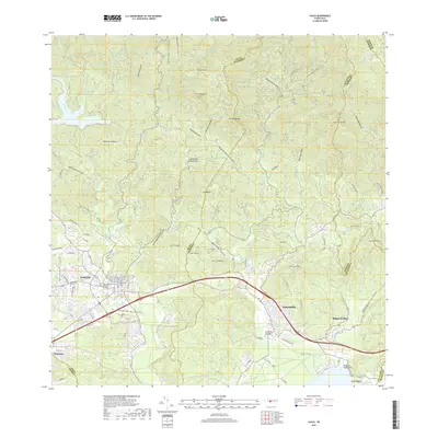 2018 Yauco2018 Print · USGSSouthern Puerto Rico's mountainous backdrop meets the coast in this modern survey of the Yauco and Guayanilla region. Genealogists and local historians can locate family sites near Viejo Cementerio Municipal de Yauco or trace rural life in Las Cruces and Magas Arriba.
 - 2018 Map of Penuelas, 2018 Print
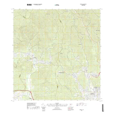 2018 Penuelas2018 Print · USGSSouthern Puerto Rico appears in detail during the late 2010s, showing the growing connection between Peñuelas and the western edge of Ponce. Researchers can trace local heritage through several significant burial grounds, including Cementerio La Piedad and the Cementerio Municipal de Peñuelas.
 - 2018 Map of Monte Guilarte, 2018 Print
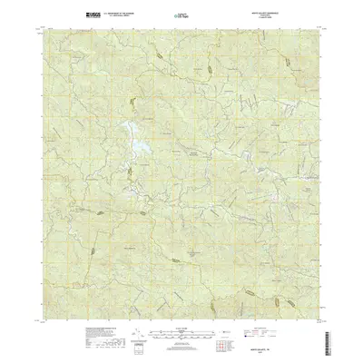 2018 Monte Guilarte2018 Print · USGSThe central mountains of Puerto Rico are mapped in detail during the late 2010s, showcasing the high peaks and river valleys of the interior. Researchers can locate the Cementerio Municipal Yahuecas, trace roads like Carr La Balea, and identify landmarks such as Monte Guilarte.
 - 2024 Map of Yauco, 2024 Print
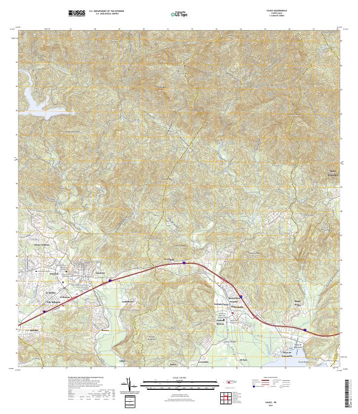 2024 Yauco2024 Print · USGSSouthern Puerto Rico's mountain-to-sea geography is on full display in this contemporary survey of the Yauco and Guayanilla corridor. Researchers can trace family sites at the Viejo Cementerio Municipal De Yauco or explore industrial landmarks like Central Rufina.
 - 2024 Map of Penuelas, 2024 Print
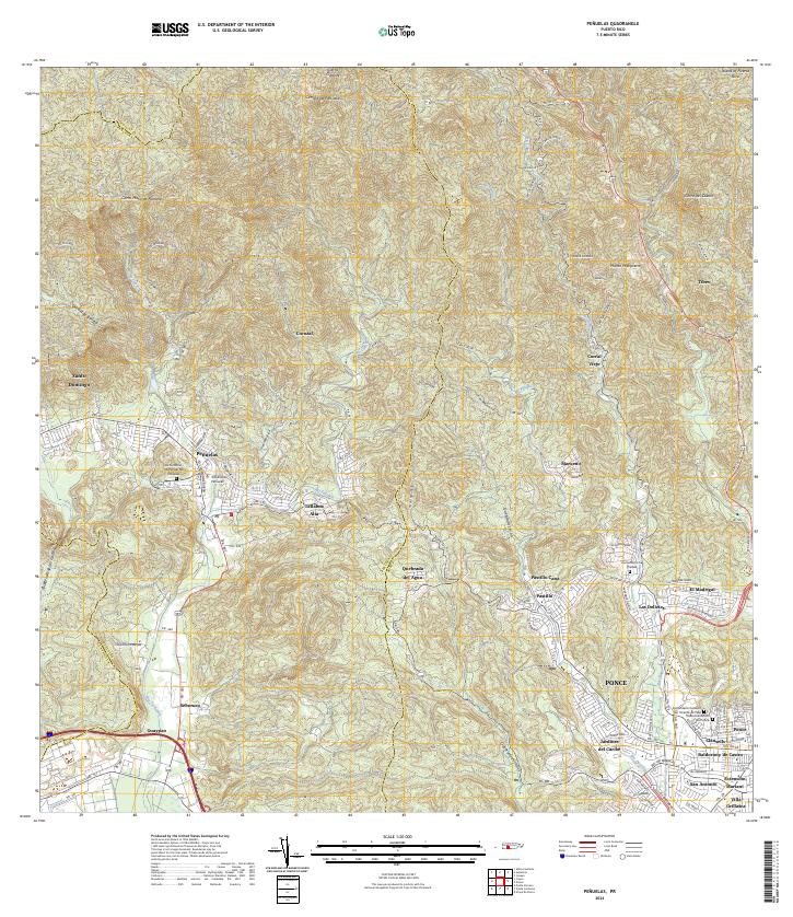 2024 Penuelas2024 Print · USGSSouthern Puerto Rico is mapped here in contemporary detail, showing the integration of the urban Ponce periphery with the mountains around Peñuelas. Researchers can identify specific local landmarks like the Tribunal de Peñuelas or trace family sites at the Cementerio La Piedad.
 - 2024 Map of Monte Guilarte, 2024 Print
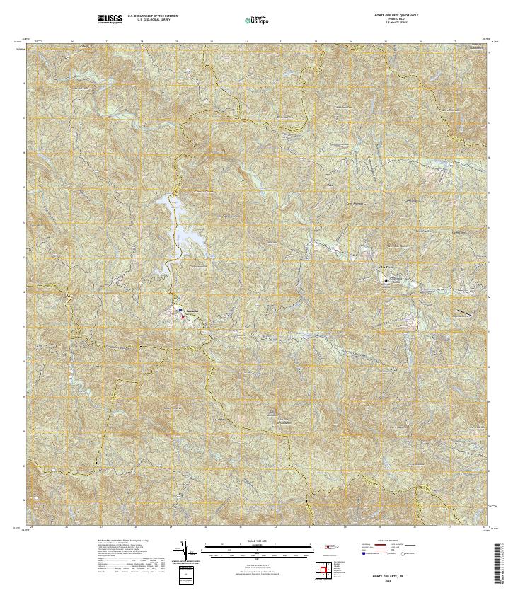 2024 Monte Guilarte2024 Print · USGSThe high central mountains of Puerto Rico are mapped here in the modern era, showing the intersection of several municipal boundaries. Genealogists and researchers can locate Castañer, the Cementerio Municipal Yahuecas, and landmarks like Monte Guilarte.
End of results
Showing maps 1-24 of 24
Frequently asked questions
- What are the different types of historical maps available for Barreal?
- What is the oldest map of Barreal?
- Where can I purchase historical maps of Barreal for my home or office?
- Where can I download high-res historical maps of Barreal?
- Are there historical topographic maps available for Barreal?
- Is there historical aerial imagery available for Barreal?
- Where are historical maps of Barreal sourced from?