Old Maps of Duey Bajo, San Germán for Academic Research
Study the evolution of Duey Bajo with 16 high-resolution historic maps. Whether you're teaching, researching, or modeling changes in land use, these maps provide essential visual documentation of urban, environmental, and geographic change.
- Analyze long-term change: Track patterns in development, transportation, and natural features.
- Ideal for environmental or urban studies: Support academic projects with primary historical map data.
- Use in the classroom or lab: Educators and researchers rely on these maps to bring historical context to life.
These maps are a powerful tool for teaching, research, and visualizing how Duey Bajo has changed over the decades.
Duey Bajo, San Germán maps
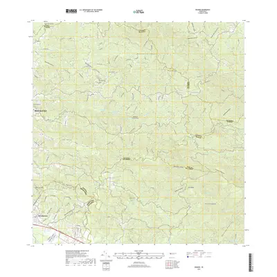
(16)- 1937 Map of San German
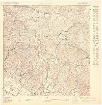
 1937 San German1937 Print · USGSSan Germán and the surrounding valleys of southwestern Puerto Rico are captured here in the mid-1930s during a period of significant agricultural and educational growth. Researchers can trace ancestral connections through named estates like Hacienda Luisa, local landmarks such as the Polytechnic Institute, and the rail stops of the American Railroad of Puerto Rico.
 - 1941 Map of San German
 1941 San German1941 Print · USGSThe hills and valleys surrounding San Germán come alive in this early 1940s survey, showing the peak of the railroad era in southwest Puerto Rico. Researchers can trace the American Railroad of Porto Rico through a landscape of historic estates like Hacienda Beatriz Soledad and Hacienda Resolucion.5 unique versions available
 - 1941 Map of Rosario, 1952 Print
 1941 Rosario1952 Print · USGSWestern Puerto Rico's mountain interior comes alive in this mid-century survey of the Rosario region. Researchers can trace ancestral lands through numerous named estates like Hacienda Juanita and Hacienda Esperanza, or locate early community centers such as Limon and Iglesia de San Jose.2 unique versions available
 - 1942 Map of Rosario
 1942 Rosario1942 Print · USGSWestern Puerto Rico is captured here in the era before widespread urbanization, showing the mountainous agricultural estates and early rail infrastructure. Genealogists can trace family holdings at Hacienda Esperanza or locate landmarks like the Hospital de Tuberculosis and American R. R.3 unique versions available
 - 1950 Map of Rosario SO
 1950 Rosario SO1950 Print · USGSWestern Puerto Rico at the midpoint of the century shows a landscape of mountain forests and sugar-related rail infrastructure. Genealogists and historians can locate rural centers like Rosario, find family landmarks such as Desvío Eureka, and trace early sites like the Hospital de Tuberculosis.
 - 1950 Map of San German NO
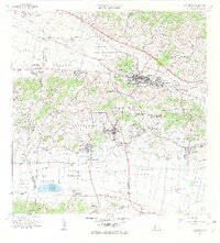
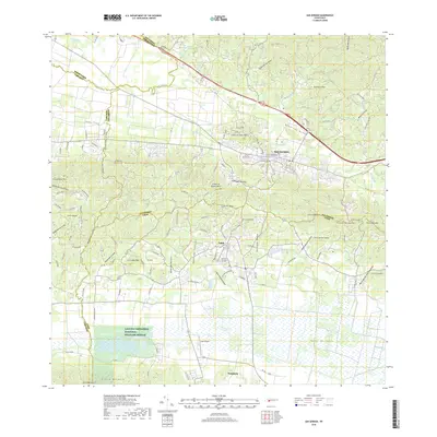
 1950 San German NO1950 Print · USGSSouthwestern Puerto Rico at mid-century reveals a landscape of massive sugar haciendas and the early expansion of modern infrastructure. Genealogists and historians can trace the foundations of local barrios through sites like Central Eureka and the Escuela Segunda Unidad de Sabana Eneas.
 - 1955 Map of Rosario, 1958 Print
 1955 Rosario1958 Print · USGSMid-century San Germán and Maricao are shown here during a time when the highland economy still revolved around traditional haciendas. Genealogists and historians can locate family estates like Hacienda Juanita and community centers such as Rosario or the Iglesia de San Jose.
 - 1957 Map of San German, 1959 Print
 1957 San German1959 Print · USGSSan Germán and the surrounding agricultural valleys are captured in the late fifties, showing the transition from traditional rail to modern infrastructure. Researchers can trace historic sugar haciendas like Hacienda Julia or locate local landmarks like the Instituto Politécnico and Laguna Cartagena.
 - 1964 Map of Rosario, 1968 Print
 1964 Rosario1968 Print · USGSThe hill country of western Puerto Rico in the mid-sixties reveals a landscape of historic haciendas and emerging institutions. Genealogists and historians can locate family estates like Hacienda Retiro and community landmarks such as Capilla de Santa Ana or Escuela Mariano Abril.2 unique versions available
 - 1966 Map of San German, 1969 Print
 1966 San German1969 Print · USGSSan Germán and the surrounding Lajas Valley are captured here in the mid-sixties, showing a landscape defined by historic haciendas and rising urban centers. Genealogists and historians can trace family estates like Hacienda Resolución or locate local landmarks including the Cementerio de San Germán and Lajas Arriba.4 unique versions available
 - 2013 Map of Rosario, 2013 Print
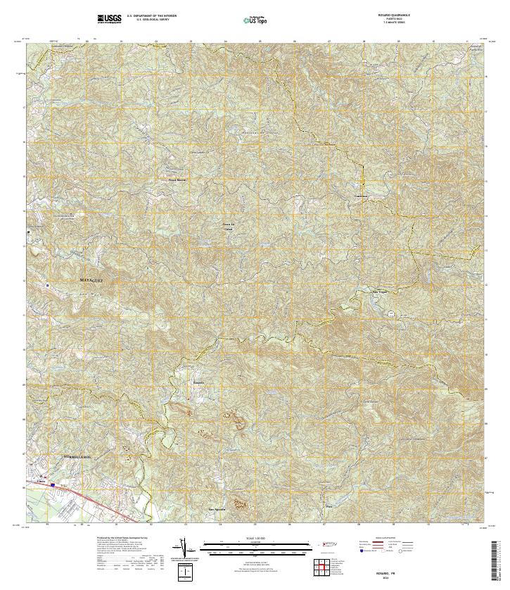
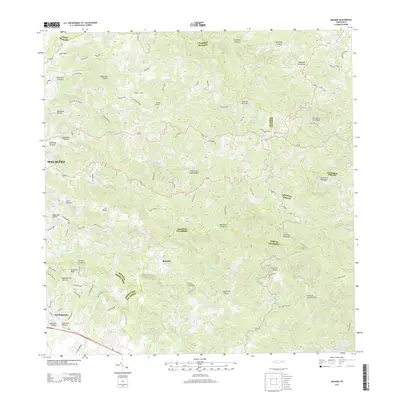 2013 Rosario2013 Print · USGSCovers Duey Bajo, including Sector Los Limones, Sector Pascual Perez, and other nearby areas
 - 2013 Map of San German, 2013 Print
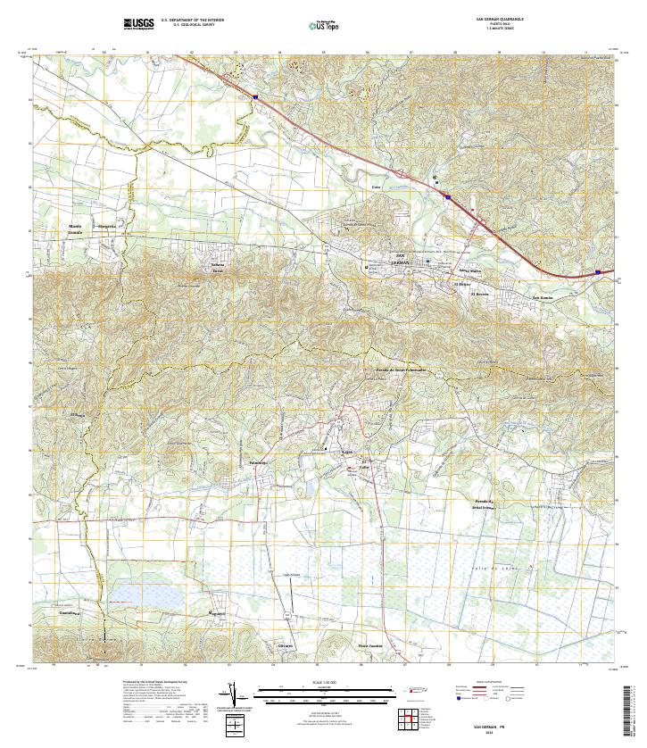
 2013 San German2013 Print · USGSCovers Duey Bajo, including San Germán, Lajas, and other nearby areas
 - 2018 Map of Rosario, 2018 Print
 2018 Rosario2018 Print · USGSCovers Duey Bajo, including Sector Los Limones, Sector Pascual Perez, and other nearby areas
 - 2018 Map of San German, 2018 Print
 2018 San German2018 Print · USGSCovers Duey Bajo, including San Germán, Lajas, and other nearby areas
 - 2024 Map of San German, 2024 Print
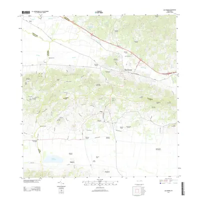
 2024 San German2024 Print · USGSSan Germán and the surrounding Lajas Valley are depicted in detail during the early twenty-first century. Researchers can trace the layout of the Universidad Interamericana and locate family sites near Sabana Eneas or the Lajas Cemetery.
 - 2024 Map of Rosario, 2024 Print
 2024 Rosario2024 Print · USGSThe upland terrain of western Puerto Rico comes into focus during this contemporary survey of the Rosario river valley. Researchers can trace historic estate boundaries at Finca Marini or locate local landmarks like the Universidad Adventista de las Antillas.
End of results
Showing maps 1-16 of 16
Frequently asked questions
- What are the different types of historical maps available for Duey Bajo?
- What is the oldest map of Duey Bajo?
- Where can I purchase historical maps of Duey Bajo for my home or office?
- Where can I download high-res historical maps of Duey Bajo?
- Are there historical topographic maps available for Duey Bajo?
- Is there historical aerial imagery available for Duey Bajo?
- Where are historical maps of Duey Bajo sourced from?