Old Maps of Sabana Llana Sur, San Juan for Genealogy
Trace your family roots with 30 historic maps of Sabana Llana Sur. These high-res maps reveal old neighborhoods, homesites, landmarks, and streets — helping you uncover where your ancestors lived and how the area evolved over time.
- Explore historic neighborhoods: Identify where your relatives may have lived in the 1800s or 1900s.
- Compare maps over time: Trace the changes in streets, buildings, and landmarks for multi-generational research.
- Perfect for genealogy & ancestry research: Used by family historians and researchers to map out lineage and migration.
These maps are an incredible resource for exploring your personal connection to Sabana Llana Sur's past.
Sabana Llana Sur, San Juan maps
(30)- 1940 Map of Carolina
 1940 Carolina1940 Print · USGSNortheast Puerto Rico is shown here just before the era of rapid modernization, when sugar production dominated the coastal plains. Researchers can trace the layout of agricultural colonies like Colonia Monserrate and historic centers such as Loiza Aldea and Central Victoria.
 - 1941 Map of San Juan
 1941 San Juan1941 Print · USGSSan Juan and its surrounding municipios are captured here in the early 1940s, showing the capital's expansion before the post-war industrial boom. Researchers can trace the layout of early suburbs like Hato Rey, locate landmarks like the Universidad de Puerto Rico, or study the historic fortifications at Morro Castle.2 unique versions available
 - 1941 Map of Carolina
 1941 Carolina1941 Print · USGSCoastal Puerto Rico at the start of the 1940s shows a landscape of sugar centrales and traditional settlements along the Atlantic. Researchers can trace family ties at Loiza Aldea, locate the rail spurs of Central Victoria, or explore the limits of the Bosque Insular de Piñones.
 - 1946 Map of Aguas Buenas
 1946 Aguas Buenas1946 Print · USGSAguas Buenas and the surrounding central highlands appear here in the mid-forties, showing the intricate network of mountain roads and rural settlements. Genealogists and historians can locate specific landmarks like the Leprocomio, Pueblo Seco, and several local Escuela Segunda Unidad schools.3 unique versions available
 - 1947 Map of Carolina
 1947 Carolina1947 Print · USGSNortheast Puerto Rico is documented here in the late 1940s as a landscape of coastal lagoons and thriving sugar centrals. Genealogists can trace family roots through numerous worker settlements like Poblado Sabana Abajo, Colonia Las Delicias, and Loíza Aldea.3 unique versions available
 - 1947 Map of Aguas Buenas NE
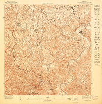 1947 Aguas Buenas NE1947 Print · USGSPuerto Rico's interior highlands near Trujillo Alto are captured here in the late 1940s as a landscape of rural settlements and winding rivers. Researchers can locate specific structures in Pueblo Seco and trace the paths of the Río Grande de Loíza or the grounds of the Leprocomio.
 - 1947 Map of San Juan
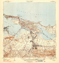 1947 San Juan1947 Print · USGSSan Juan is captured in the mid-forties as it expands from the historic islet toward the inland hills and the university grounds. Genealogists and historians can trace early neighborhoods like Barriada Eleanor Roosevelt and landmarks such as Las Ruinas de Caparra and the American Railroad.3 unique versions available
 - 1949 Map of San Juan, 1952 Print
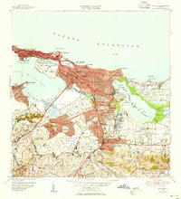 1949 San Juan1952 Print · USGSSan Juan and its surrounding barrios were undergoing significant expansion during the late 1940s as urbanization pushed south and east from the old city. Genealogists and historians can trace institutional landmarks like the Universidad de Puerto Rico, the historic walls of Fort Brook, and neighborhood developments in Barriada Eleanor Roosevelt.2 unique versions available
 - 1950 Map of San Juan SE
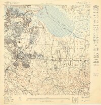 1950 San Juan SE1950 Print · USGSMid-century San Juan reveals a landscape in transition as the university district expands and new infrastructure emerges near the coast. Researchers can trace early urban development in Río Piedras, locate the Aeropuerto Internacional site, and find legacy landmarks like Hipodromo Las Casas.
 - 1950 Map of Carolina SO
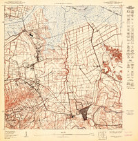 1950 Carolina SO1950 Print · USGSMid-century Carolina and its surrounding barrios are captured here during a shift from sugar production to aviation. Trace the early layout of Carolina near the Central Victoria mill and the planned International Airport.
 - 1952 Map of Aguas Buenas, 1953 Print
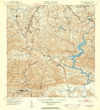 1952 Aguas Buenas1953 Print · USGSAguas Buenas and the surrounding central highlands of Puerto Rico are mapped here during a period of steady mid-century growth. Researchers can trace family sites near Barrio Bairoa or locate community centers like the Escuela Luis Santella and Leprocomio.2 unique versions available
 - 1955 Map of Aguas Buenas, 1956 Print
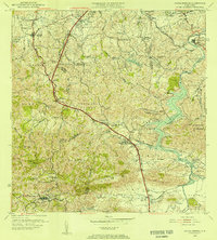 1955 Aguas Buenas1956 Print · USGSThe area surrounding Aguas Buenas is captured in the mid-fifties, showing the region before the extensive growth of the San Juan metro. Genealogists can trace family footprints through historic barrios like CAIMITO and CUPEL or locate old school sites like Escuela Segunda Unidad de Río Cañas.
 - 1957 Map of Aguas Buenas, 1959 Print
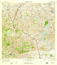 1957 Aguas Buenas1959 Print · USGSAguas Buenas and the surrounding highlands are captured in the late fifties as the region's hydroelectric and communications infrastructure expanded. Researchers can trace family-named barrios and landmarks like Saint Just, Escuela Daniel Diaz, and the Leprosomio near the banks of Lago Loiza.
 - 1957 Map of Carolina, 1959 Print
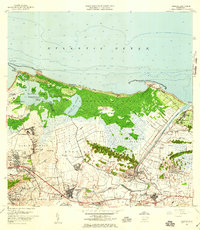 1957 Carolina1959 Print · USGSNortheastern Puerto Rico is captured in the late fifties as sugar mills and new transit hubs like the Aeropuerto Internacional reshaped the coast. Trace the Rio Grande de Loiza past the Central Canovanas and the local post office at Loíza.
 - 1957 Map of San Juan, 1959 Print
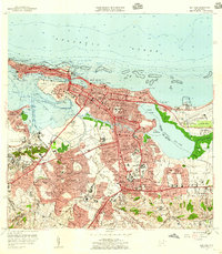 1957 San Juan1959 Print · USGSSan Juan and its surrounding barrios are seen here in the midst of mid-century modernization, from the old city walls to the emerging international airport. Genealogists and historians can locate family sites across Santurce, the grounds of the Universidad de Puerto Rico, and historic landmarks like La Fortaleza.
 - 1963 Map of Carolina, 1965 Print
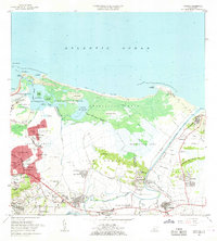 1963 Carolina1965 Print · USGSThe coastal area east of San Juan comes to life in the early sixties, showing the vital waterways and growing barrios of the north shore. Genealogists and historians can locate family landmarks from Loiza Aldea to Canóvanas, including the Escuela Santa Catalina and the Hipodromo El Comandante.
 - 1963 Map of San Juan, 1965 Print
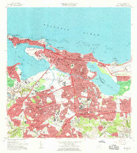 1963 San Juan1965 Print · USGSSan Juan and its surrounding barrios are shown in detail during the early sixties, capturing the city as it matured into a modern Caribbean hub. Researchers can locate family landmarks such as Cementerio Maria Magdalena, schools like Escuela Luchetti, and the expanding Aeropuerto de Isla Grande.
 - 1964 Map of Aguas Buenas, 1966 Print
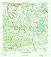 1964 Aguas Buenas1966 Print · USGSIn the mid-1960s, the hills south of San Juan were transitioning from rural barrios to suburban communities. Researchers can trace family roots at Cementerio Municipal or locate historic schools such as Escuela Luis Santaella and Escuela Jose de Diego.
 - 1969 Map of San Juan, 1972 Print
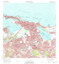 1969 San Juan1972 Print · USGSSan Juan entered a period of rapid modernization in the late sixties as its urban footprint expanded across the lagoons. You can trace the development of barrios like Condado and locate landmarks such as the Universidad de Puerto Rico and Estadio Municipal Hiram Bithorn.3 unique versions available
 - 1969 Map of Carolina, 1972 Print
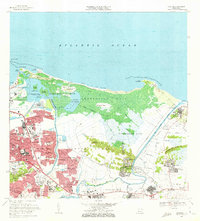 1969 Carolina1972 Print · USGSCoastal Puerto Rico underwent rapid transformation in the late sixties as urban growth met the natural wetlands of the Atlantic shore. Genealogists and researchers can trace local neighborhoods from Loíza Aldea to Villa Carolina or locate the Seminario Episcopal del Caribe.3 unique versions available
 - 1969 Map of Aguas Buenas, 1972 Print
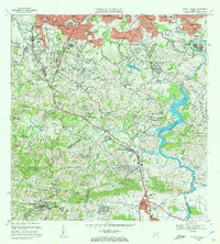 1969 Aguas Buenas1972 Print · USGSThe foothills south of San Juan come alive in this late sixties survey as suburban growth reaches into the hills of Aguas Buenas. Genealogists and historians can trace the foundations of local life through the Leprocomio, the Antilles Military Academy, and dozens of rural schools like Escuela Jagueyes Abajo.4 unique versions available
 - 2013 Map of Aguas Buenas, 2013 Print
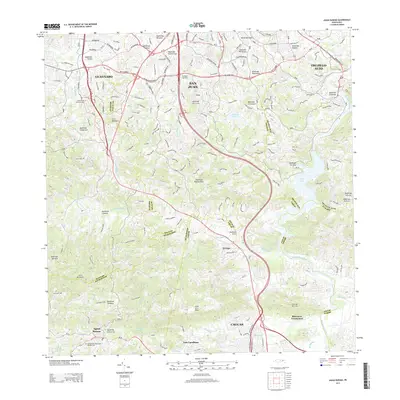 2013 Aguas Buenas2013 Print · USGSPuerto Rico's interior highlands and the southern suburbs of San Juan are documented here in 2013. Local researchers can trace family landmarks and cemeteries from Aguas Buenas to Las Carolinas and the waters of Lago Loiza.
 - 2013 Map of San Juan, 2013 Print
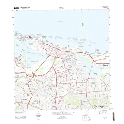 2013 San Juan2013 Print · USGSSan Juan and its neighboring municipalities are shown in extensive detail during the early twenty-first century. Researchers can trace historic sites like La Perla and Punta del Morro or locate family plots in Cementerio Buxeda.
 - 2013 Map of Carolina, 2013 Print
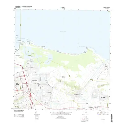 2013 Carolina2013 Print · USGSThe northeastern coast of Puerto Rico is shown here in the early twenty-first century as urban development reaches the edges of the Atlantic lagoons. Researchers can trace the layout of Luis Munoz Marin International Airport and local settlements like Santa Bárbara or Canóvanas.
 - 2018 Map of San Juan, 2018 Print
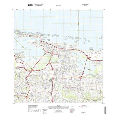 2018 San Juan2018 Print · USGSSan Juan and its neighboring municipalities are shown in high detail during this contemporary era of urban density. Researchers can trace the layout of historic districts near the San Juan National Historic Site or locate family sites near Cementerio de la Capital and Cementerio Maria Magdalena de Pazzi.
Showing maps 1-25 of 30
Frequently asked questions
- What are the different types of historical maps available for Sabana Llana Sur?
- What is the oldest map of Sabana Llana Sur?
- Where can I purchase historical maps of Sabana Llana Sur for my home or office?
- Where can I download high-res historical maps of Sabana Llana Sur?
- Are there historical topographic maps available for Sabana Llana Sur?
- Is there historical aerial imagery available for Sabana Llana Sur?
- Where are historical maps of Sabana Llana Sur sourced from?