Old Maps of Utuado for Genealogy
Trace your family roots with 54 historic maps of Utuado. These high-res maps reveal old neighborhoods, homesites, landmarks, and streets — helping you uncover where your ancestors lived and how the area evolved over time.
- Explore historic neighborhoods: Identify where your relatives may have lived in the 1800s or 1900s.
- Compare maps over time: Trace the changes in streets, buildings, and landmarks for multi-generational research.
- Perfect for genealogy & ancestry research: Used by family historians and researchers to map out lineage and migration.
These maps are an incredible resource for exploring your personal connection to Utuado's past.
Utuado maps
(54)- 1943 Map of Utuado NE
 1943 Utuado NE1943 Print · USGSThe Puerto Rican interior during the early 1940s reveals a landscape of steep ridges and critical water resources near the Arecibo border. Researchers can trace rural life through landmarks like Escuela Del Valle, Escuela Morales, and the shoreline of Lago Dos Bocas.
 - 1946 Map of Utuado
 1946 Utuado1946 Print · USGSThe mountain town of Utuado is captured here in the mid-1940s, just as the landscape was being reshaped by major hydroelectric projects. Genealogists and historians can trace family roots at Hacienda Carbonell or locate local landmarks like Iglesia San Pascual and the Planta Hidroelectrica near Lago Dos Bocas.3 unique versions available
 - 1946 Map of Bayaney
 1946 Bayaney1946 Print · USGSThe interior highlands of Puerto Rico are detailed here in the late 1940s, showcasing a landscape of isolated ridges and river-valley settlements. Researchers can trace local history through named rural schools like Escuela La America and settlements such as Angeles and Bayaney.4 unique versions available
 - 1946 Map of Jayuya
 1946 Jayuya1946 Print · USGSThe high peaks and agricultural estates of the Cordillera Central are shown in detail during the 1940s. Genealogists and historians can locate numerous family haciendas like Hacienda Gripina, the Central Santa Barbara mill, and the summit of Cerro de Punta.3 unique versions available
 - 1946 Map of Monte Guilarte
 1946 Monte Guilarte1946 Print · USGSThe mountain interior of Puerto Rico near Adjuntas is captured here in the mid-1940s, showing a landscape defined by traditional plantation estates. Researchers can trace dozens of family-named sites like Hacienda Juanita and Hacienda Rosario or locate local landmarks like the Iglesia Monserrate.3 unique versions available
 - 1946 Map of Florida
 1946 Florida1946 Print · USGSFlorida and the surrounding highlands of Puerto Rico are shown here in the 1940s, revealing a landscape of traditional mountain estates and rural schools. Genealogists and historians can trace family-named sites like Hacienda Las Abras and Hacienda Aldea or find local landmarks like the Escuela Segunda Unidad de Mameyes.3 unique versions available
 - 1946 Map of Adjuntas
 1946 Adjuntas1946 Print · USGSAdjuntas and the surrounding central highlands are captured here in the mid-forties, showing a landscape defined by coffee and sugar estates. Researchers can trace the heritage of specific estates like Hacienda Jauca and Hacienda El Progreso or locate mountain landmarks such as Cerro El Gigante.2 unique versions available
 - 1947 Map of Utuado SE
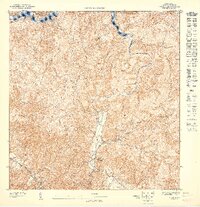 1947 Utuado SE1947 Print · USGSThe interior highlands of Utuado are captured here in the mid-1940s, showing a landscape of steep ridges and the expanding Lago Dos Bocas. Genealogists and historians can locate rural landmarks like Hacienda Carbonell and the Escuela Segunda Unidad de Caonillas.
 - 1947 Map of Monte Guilarte NE
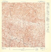 1947 Monte Guilarte NE1947 Print · USGSAdjuntas and Utuado are shown here in the late 1940s, highlighting the traditional hacienda system and highland settlements. Genealogists can locate family lands at Hacienda Rivera or trace local landmarks like the Iglesia de la Virgen del Carmen.
 - 1947 Map of Adjuntas NO
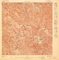 1947 Adjuntas NO1947 Print · USGSThe central mountains of Puerto Rico come into focus during the late 1940s, showing a landscape of traditional agricultural estates. Genealogists and historians can trace the boundaries of family-named sites like Hacienda Tres Hermanas and the industrial hub at Central Pellejas.
 - 1947 Map of Florida NO
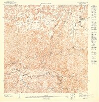 1947 Florida NO1947 Print · USGSMid-century Puerto Rico comes alive in this survey of the mountainous interior between Arecibo and Barceloneta. Genealogists and historians can trace family-named estates like Hacienda Las Abras and locate the growing settlement of Florida alongside the winding Río Yunes.
 - 1947 Map of Utuado SO
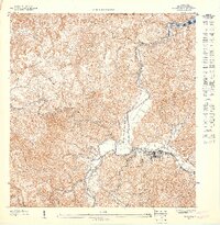 1947 Utuado SO1947 Print · USGSThe municipality of Utuado is captured in detail during the mid-1940s, showing the town at the junction of the Río Viví and Río Grande de Arecibo. Local historians can trace family locations and rural development near Lago Dos Bocas and through the Arenas district.
 - 1947 Map of Jayuya NO
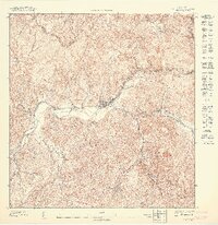 1947 Jayuya NO1947 Print · USGSThe mountain interior of Puerto Rico is captured here in the mid-1940s, highlighting a landscape of steep coffee-growing terrain and river valleys. Genealogists and historians can trace family estates like Hacienda La Marina and the industrial hub at Central Santa Barbara.
 - 1947 Map of Utuado NE
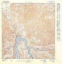 1947 Utuado NE1947 Print · USGSNorth of Utuado in the late 1940s, this landscape captures the vital water resources and hydroelectric power of the interior. Trace the rural school network at Escuela Jovales or study the shoreline developments near Lago Dos Bocas.
 - 1947 Map of Monte Guilarte NO
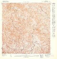 1947 Monte Guilarte NO1947 Print · USGSThe coffee highlands of Lares and Utuado are captured in detail in the late 1940s. Genealogists can trace family heritage through numerous named agricultural estates like Hacienda Vilella, Hacienda Elisa, and the Iglesia de La Virgen Maria.
 - 1947 Map of Utuado NO
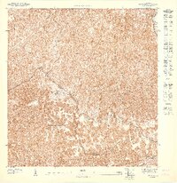 1947 Utuado NO1947 Print · USGSThe rural interior between Arecibo and Utuado is captured in the late 1940s, revealing a landscape defined by the winding Rio Grande De Arecibo. Researchers can trace old roads through the Bosque Estatal De Rio Abajo and locate the Iglesia San Pascual.
 - 1947 Map of Florida SO
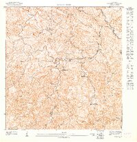 1947 Florida SO1947 Print · USGSCentral Puerto Rico in the 1940s was a landscape of mountain agriculture and secluded valley estates. Researchers can trace historic plantation boundaries at Hacienda Marqués or locate the Escuela Segunda Unidad de Mameyes along the winding river network.
 - 1947 Map of Adjuntas NE
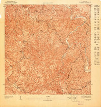 1947 Adjuntas NE1947 Print · USGSThe mountain interior of Utuado and Jayuya is captured in the late 1940s, highlighting a landscape shaped by coffee-growing history. Genealogists and historians can locate family landmarks like Hacienda Esperanza or the Iglesia de la Concepción Inmaculada.
 - 1947 Map of Bayaney SE
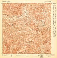 1947 Bayaney SE1947 Print · USGSCentral Puerto Rico’s mountain interior is mapped here in the late 1940s, showing the rural lifestyle of the Utuado and Adjuntas border. Trace the old roads leading to Angeles or locate the Escuela Segunda Unidad de Caguana near the winding Pasto river.
 - 1947 Map of Bayaney NE
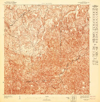 1947 Bayaney NE1947 Print · USGSThe northern interior of Puerto Rico is captured here in the mid-1940s, showing the dense settlement patterns around Bayaney. Local historians can trace early property boundaries and rural roads near the Tanama and the municipal junctions of Hatillo and Arecibo.
 - 1947 Map of Bayaney NO
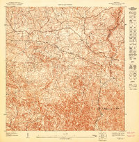 1947 Bayaney NO1947 Print · USGSThe interior of northwestern Puerto Rico comes into focus in the late 1940s as rural communities began to expand. Genealogists and researchers can trace the specific boundaries of the Municipio de Lares and locate local landmarks like the Escuela Theodore Roosevelt.
 - 1947 Map of Adjuntas SE
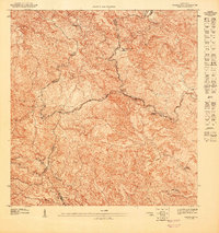 1947 Adjuntas SE1947 Print · USGSThe high peaks of the Cordillera Central come alive in this post-war survey of the Ponce and Adjuntas borderlands. Genealogists and historians can trace the legacy of old agricultural estates like Hacienda El Banco and the Iglesia de San Patricio.
 - 1947 Map of Bayaney SO
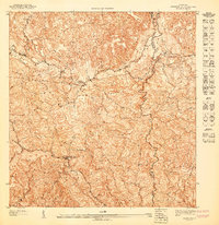 1947 Bayaney SO1947 Print · USGSLares and Utuado are documented here in the late 1940s, showing the intricate mountain topography and rural school system of the era. Researchers can trace the paths of the Rio Guajataca and Rio de Lares or locate rural landmarks like Escuela La America.
 - 1952 Map of Bayaney
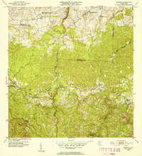 1952 Bayaney1952 Print · USGSThe mountains of north-central Puerto Rico appear in detail during the early fifties, showing a landscape defined by karst terrain and rural barrios. Genealogists can trace family footprints near Bayaney, Angeles, and family-named schools like Escuela Virgilio Acevedo.2 unique versions available
 - 1952 Map of Utuado, 1953 Print
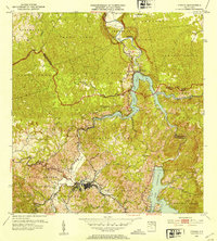 1952 Utuado1953 Print · USGSUtuado in the early fifties shows a mountain landscape transformed by hydroelectric power and the growing footprint of the town center. Local researchers can trace old barrios and landmarks such as Hacienda Carbonell, Iglesia San Pascual, and the expansive waters of Lago Dos Bocas.2 unique versions available
Showing maps 1-25 of 54
Frequently asked questions
- What are the different types of historical maps available for Utuado?
- What is the oldest map of Utuado?
- Where can I purchase historical maps of Utuado for my home or office?
- Where can I download high-res historical maps of Utuado?
- Are there historical topographic maps available for Utuado?
- Is there historical aerial imagery available for Utuado?
- Where are historical maps of Utuado sourced from?