Old Maps of Mina de Oro, Utuado for Genealogy
Trace your family roots with 8 historic maps of Mina de Oro. These high-res maps reveal old neighborhoods, homesites, landmarks, and streets — helping you uncover where your ancestors lived and how the area evolved over time.
- Explore historic neighborhoods: Identify where your relatives may have lived in the 1800s or 1900s.
- Compare maps over time: Trace the changes in streets, buildings, and landmarks for multi-generational research.
- Perfect for genealogy & ancestry research: Used by family historians and researchers to map out lineage and migration.
These maps are an incredible resource for exploring your personal connection to Mina de Oro's past.
Mina de Oro, Utuado maps
(8)- 1946 Map of Bayaney
 1946 Bayaney1946 Print · USGSThe interior highlands of Puerto Rico are detailed here in the late 1940s, showcasing a landscape of isolated ridges and river-valley settlements. Researchers can trace local history through named rural schools like Escuela La America and settlements such as Angeles and Bayaney.4 unique versions available
 - 1947 Map of Bayaney SE
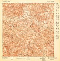 1947 Bayaney SE1947 Print · USGSCentral Puerto Rico’s mountain interior is mapped here in the late 1940s, showing the rural lifestyle of the Utuado and Adjuntas border. Trace the old roads leading to Angeles or locate the Escuela Segunda Unidad de Caguana near the winding Pasto river.
 - 1952 Map of Bayaney
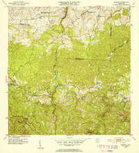 1952 Bayaney1952 Print · USGSThe mountains of north-central Puerto Rico appear in detail during the early fifties, showing a landscape defined by karst terrain and rural barrios. Genealogists can trace family footprints near Bayaney, Angeles, and family-named schools like Escuela Virgilio Acevedo.2 unique versions available
 - 1957 Map of Bayaney, 1960 Print
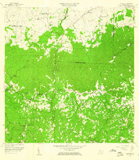 1957 Bayaney1960 Print · USGSNorthwestern Puerto Rico’s interior barrios are captured here during a period of steady rural development in the late fifties. Genealogists can locate family-named landmarks and institutions like Escuela Segunda Unidad de Josefa Linares, Iglesia Cristo Rey, and Matilde.2 unique versions available
 - 1970 Map of Bayaney, 1973 Print
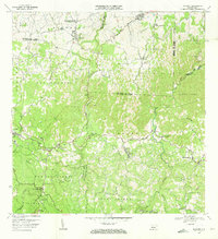 1970 Bayaney1973 Print · USGSThe limestone hills and river valleys south of Hatillo come to life in the early seventies, showing a landscape of coffee-country barrios and mountain schools. Trace ancestral roots through Angeles, Bayaney, and landmarks like the Observatorio de Arecibo.3 unique versions available
 - 2013 Map of Bayaney, 2013 Print
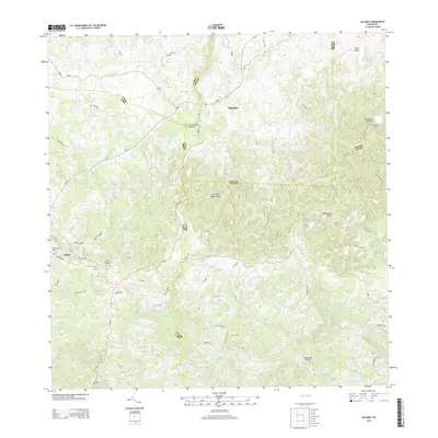 2013 Bayaney2013 Print · USGSThe northern karst region of Puerto Rico is captured here in the early twenty-first century, showing the intersection of science and rural life. Researchers can locate the iconic Observatorio de Arecibo and dramatic geological features like the Tres Pueblos Sinkhole and Cerro Palma.
 - 2018 Map of Bayaney, 2018 Print
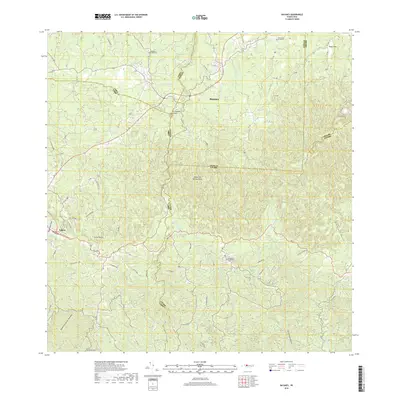 2018 Bayaney2018 Print · USGSThe northern karst region of Puerto Rico is captured here in the late 2010s, showcasing the intersection of the Camuy, Lares, and Utuado municipalities. Researchers can trace rural road networks and local landmarks like the Tres Pueblos Sinkhole, Cementerio de Angeles, and the headwaters of Rio Camuy.
 - 2024 Map of Bayaney, 2024 Print
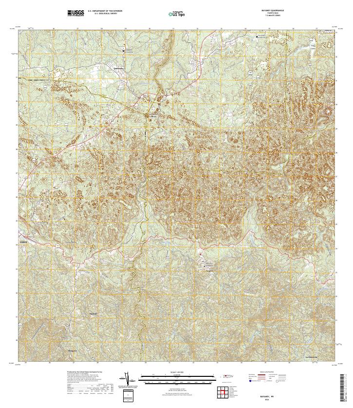 2024 Bayaney2024 Print · USGSThe karst landscape and river valleys of the Puerto Rican interior are meticulously detailed in this recent survey. Researchers can trace rural family roots through features like the Cementerio de Quebrada and the Tres Pueblos Sinkhole near Ángeles.
End of results
Showing maps 1-8 of 8
Frequently asked questions
- What are the different types of historical maps available for Mina de Oro?
- What is the oldest map of Mina de Oro?
- Where can I purchase historical maps of Mina de Oro for my home or office?
- Where can I download high-res historical maps of Mina de Oro?
- Are there historical topographic maps available for Mina de Oro?
- Is there historical aerial imagery available for Mina de Oro?
- Where are historical maps of Mina de Oro sourced from?