Old Maps of Ceiba, Vega Baja for Academic Research
Study the evolution of Ceiba with 18 high-resolution historic maps. Whether you're teaching, researching, or modeling changes in land use, these maps provide essential visual documentation of urban, environmental, and geographic change.
- Analyze long-term change: Track patterns in development, transportation, and natural features.
- Ideal for environmental or urban studies: Support academic projects with primary historical map data.
- Use in the classroom or lab: Educators and researchers rely on these maps to bring historical context to life.
These maps are a powerful tool for teaching, research, and visualizing how Ceiba has changed over the decades.
Ceiba, Vega Baja maps
(18)- 1940 Map of Vega Alta
 1940 Vega Alta1940 Print · USGSThe northern coast of Puerto Rico was an industrial powerhouse of sugar production and rail transit in the years leading up to the second World War. Genealogists and historians can trace the footprint of the sugar economy through Central Constancia and the American Railroad of Porto Rico.2 unique versions available
 - 1942 Map of Manati
 1942 Manati1942 Print · USGSThe northern coast of Puerto Rico during the early forties reveals a landscape of industrial sugar production and historic municipal centers. Genealogists and local historians can trace family roots through named settlements like Colonia El Pueblito or locate the historic Capilla de la Virgen del Carmen near Manati.2 unique versions available
 - 1946 Map of Vega Alta
 1946 Vega Alta1946 Print · USGSCoastal Puerto Rico's sugar-processing heartland is revealed here in the 1940s, showing a complex network of rail lines and industrial centrals. Genealogists and historians can trace old community sites like Poblado Higüillar and family landmarks near Central Carmen.4 unique versions available
 - 1946 Map of Manati
 1946 Manati1946 Print · USGSThe coastal plains and karst hills of northern Puerto Rico are captured here during the mid-forties, highlighting a landscape dominated by sugar estates and rail. Genealogists and historians can trace the local plantation economy through named sites like Colonia Coto Norte and the path of the American Railroad of Porto Rico.3 unique versions available
 - 1947 Map of Vega Alta SO
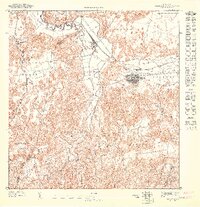 1947 Vega Alta SO1947 Print · USGSVega Alta and its surrounding sugar lands are captured in detail during the mid-1940s. Genealogists and historians can trace the rail lines of the Porto Rico Sugar Company and locate landmarks like Central Carmen and Cerro Miraflores.
 - 1950 Map of Vega Alta NO
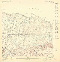 1950 Vega Alta NO1950 Print · USGSNorthern Puerto Rico during the 1940s and 50s reveals an economy centered on coastal sugar production and rail transport. Genealogists and researchers can trace local families through Poblado Ceiba and locate historic industrial sites like Central San Vicente.
 - 1953 Map of Manati, 1954 Print
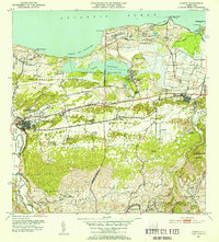 1953 Manati1954 Print · USGSCoastal Puerto Rico near the mid-century shows a landscape of sugar-economy colonies and military installations between the Atlantic and the inland hills. Genealogists and historians can trace rail sidings like Desvio Algarrobo and family-centered landmarks such as Capilla de la Virgen del Carmen and Colonia Palo Alto.2 unique versions available
 - 1953 Map of Vega Alta, 1954 Print
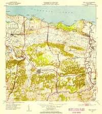 1953 Vega Alta1954 Print · USGSCoastal and interior Puerto Rico are mapped in detail during the early 1950s, showing the sugar industry and rural life. Researchers can locate family homesteads near Central San Vicente, Poblado Higuillar, and schools like Escuela Dr Livingston.2 unique versions available
 - 1958 Map of Vega Alta, 1960 Print
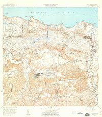 1958 Vega Alta1960 Print · USGSThe northern coast of Puerto Rico in the late fifties reveals a landscape of sugar mills and rising infrastructure. Genealogists and historians can trace family roots through old barrios like Higuillar, the Central San Vicente mill, and the Escuela Almirante Norte.2 unique versions available
 - 1958 Map of Manati, 1962 Print
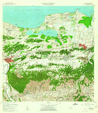 1958 Manati1962 Print · USGSCoastal lagoons and sugar cane infrastructure define this northern Puerto Rico landscape in the late fifties. Genealogists can trace family footprints through numerous rural schools and chapels, such as Escuela Cruz Rosa Rivas and the Capilla Virgen del Carmen.3 unique versions available
 - 1969 Map of Manati, 1972 Print
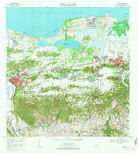 1969 Manati1972 Print · USGSThe northern coast of Puerto Rico is captured here in the late sixties, showcasing the area's mix of military lands and growing barrios. Genealogists can locate family sites near Vega Baja or trace rural landmarks like the Escuela Alejandrina Benitez and Campo Tortuguero.4 unique versions available
 - 1969 Map of Vega Alta, 1973 Print
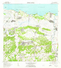 1969 Vega Alta1973 Print · USGSThe north coast of Puerto Rico is captured here in the late sixties as traditional agricultural communities met modern development. Researchers can trace family sites near Vega Alta, locate the historic Central San Vicente, and explore coastal features from Cerro Gordo to the Aeropuerto de Dorado.3 unique versions available
 - 2013 Map of Vega Alta, 2013 Print
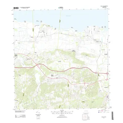 2013 Vega Alta2013 Print · USGSThe northern coast of Puerto Rico is mapped here in the early twenty-first century, showcasing the region's shift from industrial agriculture to modern residential growth. Genealogists and historians can trace family roots through settlements like Breñas and San José or locate former industrial sites like Central San Vicente.
 - 2013 Map of Manati, 2013 Print
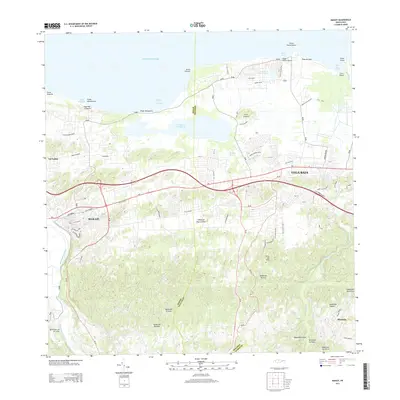 2013 Manati2013 Print · USGSCoastal and inland Puerto Rico meet here in the early twenty-first century, spanning the municipalities of Manatí and Vega Baja. Local researchers can trace the waterways of Río Indio and Río Grande de Manatí or locate family landmarks near Cerro del Faro and Playa de Vega.
 - 2018 Map of Manati, 2018 Print
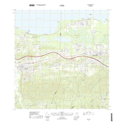 2018 Manati2018 Print · USGSNorthern Puerto Rico’s coastal corridor comes into focus in this late twenty-tens survey of the area between the Río Grande de Manatí and Vega Baja. Trace local family history through several sites including Cementerio de Altagracia and settlements like Sandin and Miranda.
 - 2018 Map of Vega Alta, 2018 Print
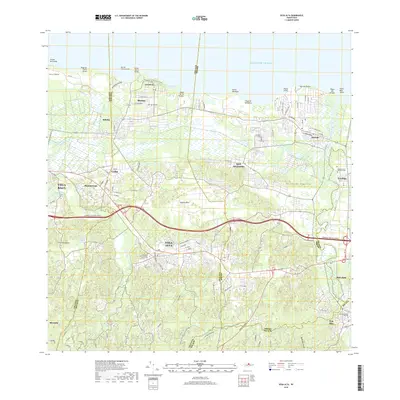 2018 Vega Alta2018 Print · USGSThe northern coast of Puerto Rico is shown here in the late 2010s as it balances urban growth with its riverine landscape. Genealogists and local historians can locate several burial grounds, including the Cementerio de Toa Baja Pueblo, and trace the paths of the Río Lajas and Río Cibuco.
 - 2024 Map of Vega Alta, 2024 Print
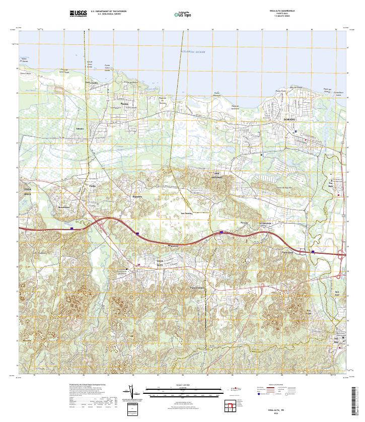 2024 Vega Alta2024 Print · USGSThe northern coast of Puerto Rico is captured here in the mid-2020s, showcasing the urban and rural development of Vega Alta and Dorado. Researchers can locate important landmarks like Cementerio Viejo Toa Alta and follow the path of Río de la Plata.
 - 2024 Map of Manati, 2024 Print
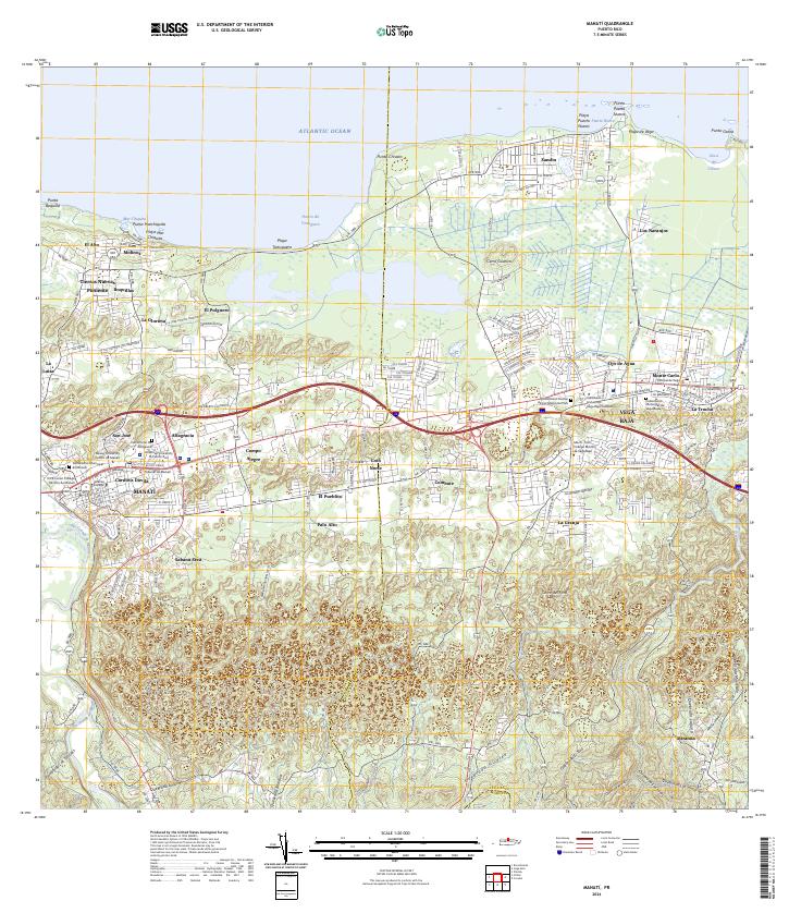 2024 Manati2024 Print · USGSCoastal northern Puerto Rico is documented here in recent years, showing the growth of major centers along the Atlantic shore. Genealogists and researchers can locate Cementerio Municipal de Manatí, trace the Río Grande de Manatí, and explore established barrios like Coto Norte.
End of results
Showing maps 1-18 of 18
Frequently asked questions
- What are the different types of historical maps available for Ceiba?
- What is the oldest map of Ceiba?
- Where can I purchase historical maps of Ceiba for my home or office?
- Where can I download high-res historical maps of Ceiba?
- Are there historical topographic maps available for Ceiba?
- Is there historical aerial imagery available for Ceiba?
- Where are historical maps of Ceiba sourced from?