Old Maps of Saint Croix District for Metal Detecting
Plan your next treasure hunt with 19 historic maps of Saint Croix District. Find old homesites, ghost towns, trails, and gathering spots that may be lost to time — perfect for identifying promising metal detecting locations.
- Locate forgotten sites: Uncover places like long-lost settlements, abandoned rail lines, or gathering spots.
- Plan better hunts: Use map overlays combined with LiDAR or satellite views to narrow in on historically rich areas.
- Made for detectorists: Thousands of hobbyists use these maps to discover relics, coins, and hidden history.
Use these historic maps to boost your research and find new opportunities beneath the surface of Saint Croix District.
Saint Croix District maps
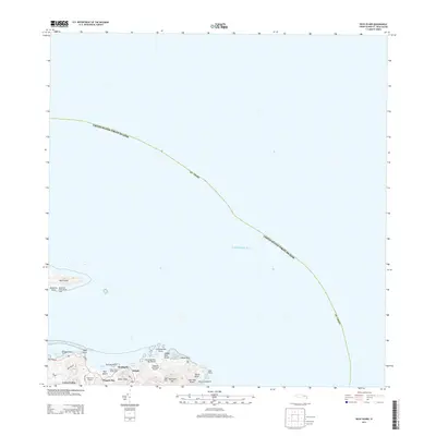
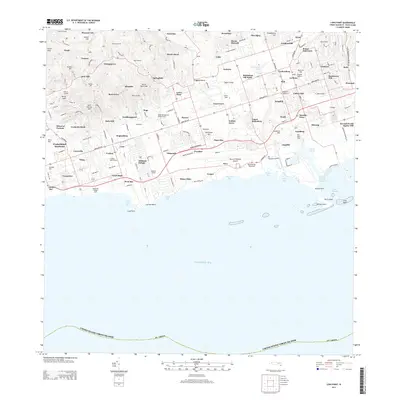
(19)- 1958 Map of Christiansted, 1959 Print
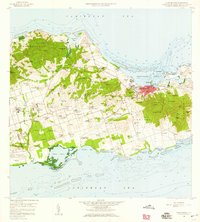 1958 Christiansted1959 Print · USGSSaint Croix's mid-century landscape is captured here just as the island began its modern growth phase. Researchers can trace the layout of Christiansted, locate family names among settlements like Sion Hill and Belvedere, and find landmarks like Kingshill Sch and the Alexander Hamilton Airport.6 unique versions available
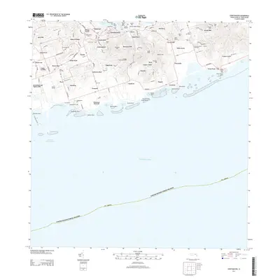
 - 1958 Map of East Point, 1959 Print
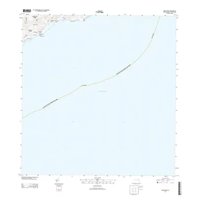
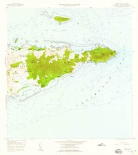 1958 East Point1959 Print · USGSThe eastern reaches of Saint Croix are captured in the late fifties, showing a landscape of traditional estates and rugged coastal topography. Genealogists can trace family landholdings and small settlements like All for the Better, Sallys Fancy, and Madame Carty.5 unique versions available
 - 1958 Map of Frederiksted, 1960 Print
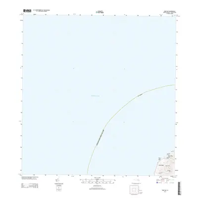
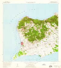 1958 Frederiksted1960 Print · USGSWestern Saint Croix is depicted in the late fifties, showcasing the transition from the waterfront at Frederiksted to inland estates. Trace historic place names and local infrastructure including Betty's Hope, the Fort Frederick Light, and Alexander Hamilton Airport.4 unique versions available
 - 2013 Map of Beauregard Bay, 2013 Print
 2013 Beauregard Bay2013 Print · USGSCovers Saint Croix District, including Mount Pleasant, Green Kay, and other nearby areas
 - 2013 Map of Buck Island, 2013 Print
 2013 Buck Island2013 Print · USGSCovers Saint Croix District, including Cotton Valley, North Grapetree Bay, and other nearby areas
 - 2013 Map of Christiansted, 2013 Print
 2013 Christiansted2013 Print · USGSCovers Saint Croix District, including Longford (Anna's Hope Village), Work and Rest, and other nearby areas
 - 2013 Map of Grass Point, 2013 Print
 2013 Grass Point2013 Print · USGSCovers Saint Croix District, including Yellow Cliff, South Slob, and other nearby areas
 - 2013 Map of Hams Bay, 2013 Print
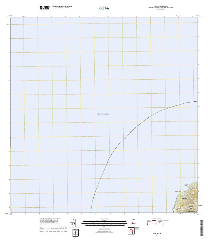
 2013 Hams Bay2013 Print · USGSCovers Saint Croix District, including Hams Bay, Northside, and other nearby areas
 - 2013 Map of Long Point, 2013 Print
 2013 Long Point2013 Print · USGSCovers Saint Croix District, including Mount Victory, Saint George Hill, and other nearby areas
 - 2013 Map of Baron Bluff, 2013 Print
 2013 Baron Bluff2013 Print · USGSCovers Saint Croix District, including Little Fountain, Annaly, and other nearby areas
 - 2013 Map of Frederiksted, 2013 Print
 2013 Frederiksted2013 Print · USGSCovers Saint Croix District, including William, Butler Bay, and other nearby areas
 - 2024 Map of Hams Bay, 2024 Print
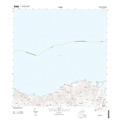
 2024 Hams Bay2024 Print · USGSThe northwest coast of Saint Croix remains defined by its sharp elevation changes and sheltered coves in this modern topographic overview. Researchers can trace the coastal route of Hams Bluff Rd as it connects Hams Bay and the shoreline at Monks Bath Beach.
 - 2024 Map of Baron Bluff, 2024 Print
 2024 Baron Bluff2024 Print · USGSSaint Croix's northern coast is mapped here in the early twenty-first century, showcasing its steep ridges and historic estates. Genealogists and historians can trace traditional land names from Annaly to Morningstar and locate the Salt River Bay National Historical Park.
 - 2024 Map of Grass Point, 2024 Print
 2024 Grass Point2024 Print · USGSThe southeastern coast of Saint Croix is documented here as it stands today, showing the intersection of coastal topography and contemporary residency. Trace local landmarks like Catharinas Hope and the shoreline at Grapetree Bay or Grassy Point Beach.
 - 2024 Map of Buck Island, 2024 Print
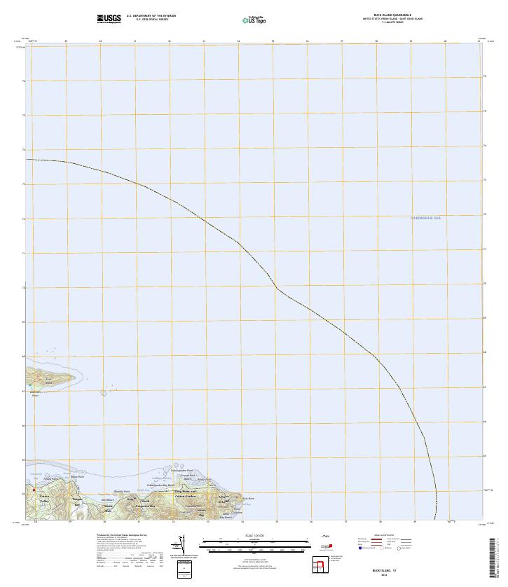 2024 Buck Island2024 Print · USGSThe eastern tip of Saint Croix and its surrounding waters are charted in this contemporary survey. Maritime and local historians can trace the shoreline from Cramer Park Beach to East Point, while exploring the boundaries of the Buck Island Reef National Monument.
 - 2024 Map of Beauregard Bay, 2024 Print
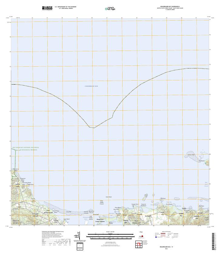 2024 Beauregard Bay2024 Print · USGSCoastal Saint Croix is captured here in modern detail, showcasing the intersection of historical estates and protected marine environments. Researchers can trace the layout of Judiths Fancy and Altona Fort or explore the boundaries of the Buck Island Reef National Monument.
 - 2024 Map of Long Point, 2024 Print
 2024 Long Point2024 Print · USGSThe southern coast of Saint Croix comes into focus in this contemporary survey, showing the island's blend of historic estates and modern infrastructure. Genealogists and researchers can locate landmarks like Friedensfeld Midlands Cem, the Henry E Rohlsen Airport, and Upper Love.
 - 2024 Map of Frederiksted, 2024 Print
 2024 Frederiksted2024 Print · USGSThe west coast of Saint Croix is captured here in the early twenty-first century, centered on the historic port of Frederiksted. Researchers can trace old estate names and civic sites, from Fort Frederick to the Frederiksted Cem and The Whim West.
 - 2024 Map of Christiansted, 2024 Print
 2024 Christiansted2024 Print · USGSSaint Croix's northern coast and central hills are detailed here in the mid-2020s, showing the intersection of colonial history and modern development. Researchers can trace historic estate boundaries and sites like Bulows Minde, the Danish Cem, and Friedensthal.
End of results
Showing maps 1-19 of 19
Frequently asked questions
- What are the different types of historical maps available for Saint Croix District?
- What is the oldest map of Saint Croix District?
- Where can I purchase historical maps of Saint Croix District for my home or office?
- Where can I download high-res historical maps of Saint Croix District?
- Are there historical topographic maps available for Saint Croix District?
- Is there historical aerial imagery available for Saint Croix District?
- Where are historical maps of Saint Croix District sourced from?