Old Maps of Serange, Alabama for Hiking & Exploration
Hike through history with 12 historic maps of Serange. Explore old trails, ghost towns, and forgotten backroads — perfect for outdoor adventurers and local explorers.
- Rediscover forgotten places: Map out old mining camps, roads, and footpaths that no longer exist on modern maps.
- Layer with modern tools: Combine with LiDAR or satellite views to plan hikes through historical terrain.
- Made for exploration: Popular among hikers, overlanders, and local history lovers.
Use these maps to find adventure and explore the hidden past of Serange.
Serange, AL maps
(12)- 1942 Map of Perdido, 1965 Print
 1942 Perdido1965 Print · USGSCoastal Alabama and its inland timberlands are captured here in the early 1940s, showing a transition from remote logging camps to growing railroad towns. Genealogists can locate family landmarks like Steadham Cem, the Langham Lottie Sch, and settlements at Lottie and Nokomis.
 - 1944 Map of Perdido
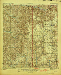 1944 Perdido1944 Print · USGSCoastal plain settlements and timber country in South Alabama come alive on this mid-forties survey. Trace family history at Lindsey Cem and St Johns Ch, or locate vanished rail stops along the Logging RR and St Louis - San Francisco RR.2 unique versions available
 - 1953 Map of Andalusia, 1965 Print
 1953 Andalusia1965 Print · USGSSouth Alabama in the mid-twentieth century remains a land of pine forests and river-fed settlements. You can trace the vital rail corridors of the Louisville & Nashville and locate regional centers such as Andalusia, Brewton, and Monroeville.3 unique versions available
 - 1957 Map of Andalusia
 1957 Andalusia1957 Print · USGSSouthern Alabama in the mid-1950s was a landscape defined by timbered stretches and the rhythmic flow of the Alabama River. Researchers can trace the legacy of the rail era through the Central of Georgia tracks and the storied river bluffs at Choctaw Bluff.
 - 1983 Map of Blacksher
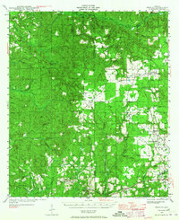
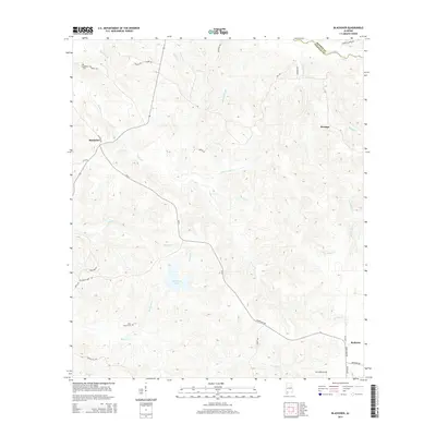
 1983 Blacksher1983 Print · USGSThe rural border of Baldwin and Monroe counties is captured here in the early 1980s, showing a landscape shaped by creek networks and timber lookouts. Researchers can locate the Blacksher community and Redtown, or trace landmarks like the Lottie Lookout Tower and old Wooden Piers.
 - 1986 Map of Atmore
 1986 Atmore1986 Print · USGSSouth Alabama’s river country and timberlands are captured here in the mid-eighties, showing the deep-water bends of the Alabama River and the expanding road networks. Genealogists and historians can trace family locations through small-town post offices and rural churches like Chrysler Ch and the settlement of Barlow Bend.2 unique versions available
 - 2002 Map of Perdido
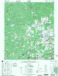 2002 Perdido2002 Print · USGSCoastal Alabama at the turn of the millennium reveals a rural landscape of timberlands and small family settlements. Researchers can trace ancestral roots through several documented burial sites like Mothershed Cemetery and Steadham Cemetery or locate old community hubs like Poarch and Lottie.
 - 2011 Map of Blacksher, 2011 Print
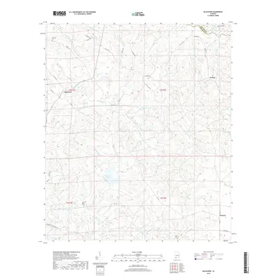
 2011 Blacksher2011 Print · USGSCovers Serange, including Blacksher, Redtown, and other nearby areas
 - 2014 Map of Blacksher, 2014 Print
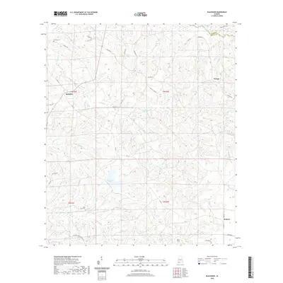
 2014 Blacksher2014 Print · USGSCovers Serange, including Blacksher, Redtown, and other nearby areas
 - 2018 Map of Blacksher, 2018 Print
 2018 Blacksher2018 Print · USGSCovers Serange, including Blacksher, Redtown, and other nearby areas
 - 2020 Map of Blacksher, 2020 Print
 2020 Blacksher2020 Print · USGSCovers Serange, including Blacksher, Redtown, and other nearby areas
 - 2024 Map of Blacksher, 2024 Print
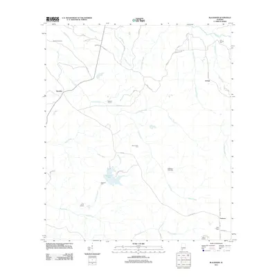
 2024 Blacksher2024 Print · USGSBaldwin County at the Monroe County border reveals a landscape defined by generational homesteads and winding creeks. Genealogists can trace family heritage at the Lee Slaughter Family Cem, Wilson Family Cem, and the rural community of Blacksher.
End of results
Showing maps 1-12 of 12
Top cities near Serange
- Atmore historical maps
- Frisco City historical maps
- Perdido historical maps
- Uriah historical maps
- Huxford historical maps
Frequently asked questions
- What are the different types of historical maps available for Serange?
- What is the oldest map of Serange?
- Where can I purchase historical maps of Serange for my home or office?
- Where can I download high-res historical maps of Serange?
- Are there historical topographic maps available for Serange?
- Is there historical aerial imagery available for Serange?
- Where are historical maps of Serange sourced from?