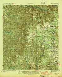
1942 Map of Perdido
USGS Topo · Published 1965About this map
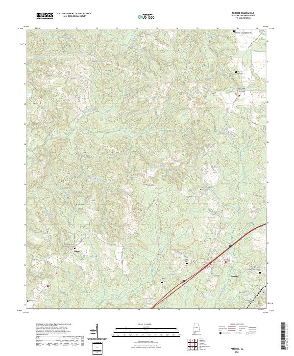
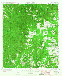
The Perdido River and its many tributaries, including Pine Log Creek and Turkey Creek, define this region where the borders of Baldwin, Monroe, and Escambia counties meet. Surveyed in the early 1940s, the map reveals a landscape of scattered agricultural settlements and active timber harvesting, indicated by numerous Logging notations and remote outposts like Brown Crosby Camp. The town of Atmore serves as a principal hub, situated at the junction of the L & N RR and the St L S F RR. Local history is preserved through the locations of rural congregations and family burial grounds, such as Judson Ch and the Lindsey Cem. The area around Poarch and Freemanville shows a dense network of small farms and schools, including the Freemanville Sch, while the Atmore Airport marks the growing infrastructure of the mid-century era.
Find a feature on this map
66 named features on this map. Tap any name to fly to it.
Don’t see what you’re looking for? This feature index may not catch every label — zoom into the map to look around manually.
Map Details
Editions of this 1942 Perdido Map
This is the sole edition of this map. No revisions or reprints were ever made.
Historical Maps of Atmore Through Time
9 maps found