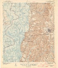
1941 Map of Bay Minette
USGS Topo · Published 1955About this map
Bay Minette serves as the focal point for this survey of the delta region where the Mobile River, Middle River, and Tensaw River weave through a complex system of bayous and lakes. The map documents a landscape defined by its timber and river heritage, noted by several historical logging sites such as Steam Mill Log, Upper Hall Log, and Shell Log. To the east, the terrain rises into the pine woods where the Louisville and Nashville RR cuts through the county seat. This 1940s record provides excellent genealogical detail for the rural backcountry, pinpointing local landmarks like Sizemore Cem, Hurricane Sch, and Whitehouse Forks. The survey also preserves the location of the St Stephens Base Line, a critical reference for early Alabama land surveying.
Find a feature on this map
104 named features on this map. Tap any name to fly to it.
Don’t see what you’re looking for? This feature index may not catch every label — zoom into the map to look around manually.
Map Details
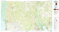
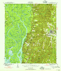
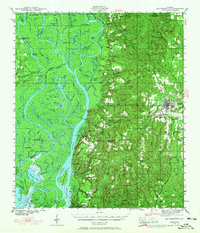
Editions of this 1941 Bay Minette Map
2 editions found
Historical Maps of Mobile Through Time
3 maps found