
1941 Map of Creola
USGS Topo · Published 1959About this map
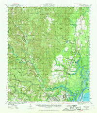
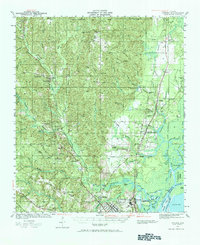
Chickasaw Creek and its many tributaries, including Sara Bayou and Eight Mile Creek, dominate this landscape north of Mobile just before the mid-century industrial expansion. The settlement pattern is defined by several major rail lines, including the Southern Railway and the Gulf Mobile and Ohio Railroad, which served timber and agricultural interests across the lowlands. Local life is documented through numerous rural landmarks such as Starlight Sch, Oak Grove Ch, and the Mauvilla Cem. Near the confluence of the river systems, the presence of a Shipyard and the community of Chickasaw indicate the area's strategic importance to the regional maritime economy. This survey preserves the locations of early schools like East Chunchula Sch and Kushla Sch alongside topographic features like Hells Swamp and Sand Hill.
Find a feature on this map
84 named features on this map. Tap any name to fly to it.
Don’t see what you’re looking for? This feature index may not catch every label — zoom into the map to look around manually.
Map Details
Editions of this 1941 Creola Map
3 editions found
Other maps of this area

1921 · Fairhope
USGS Topo · 1:62,500

1922 · Mobile
USGS Topo · 1:62,500

1940 · Mobile
USGS Topo · 1:31,680

1940 · Mobile
USGS Topo · 1:62,500

1941 · Chickasaw
USGS Topo · 1:31,680

1941 · Blakeley
USGS Topo · 1:31,680

1941 · Hurley
USGS Topo · 1:62,500

1941 · Bay Minette
USGS Topo · 1:62,500

1941 · Fairhope
USGS Topo · 1:62,500

1942 · Hurricane
USGS Topo · 1:31,680