Old Maps of Mobile County, Alabama
Explore 112 old maps of Mobile County, spanning from 1921 to today. These high-resolution historic maps reveal how streets, neighborhoods, landmarks, and natural features evolved over time — perfect for genealogy, metal detecting, research, and local history exploration.
What you can do with these maps:
- See how Mobile County changed over time: Compare historical maps to modern-day views to trace roads, homesites, rail lines & more.
- View detailed metadata: Each map includes creators, publishers, year, scale, and archive source.
- Overlay maps with satellite & LiDAR: Visualize the past alongside modern tools to explore terrain & human change.
- Trusted historical sources: Maps sourced from the USGS, Library of Congress, and other archives.
- Access maps your way: View online, download high-res files, or order prints for personal or research use.
Start exploring old maps of Mobile County to uncover forgotten places, hidden landmarks, and the deep history beneath your feet.
Mobile County, AL maps
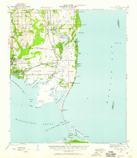
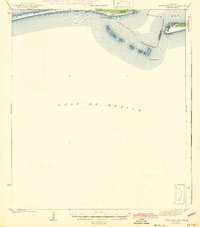
(112)- 1921 Map of Grand Bay
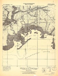 1921 Grand Bay1921 Print · USGSCovers Mobile County, including Moss Point, Grand Bay, and other nearby areas
 - 1921 Map of Petit Bois Island
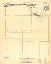
 1921 Petit Bois Island1921 Print · USGSCovers Mobile County, including Dauphin Island, Jackson County, and other nearby areas
 - 1921 Map of Fairhope
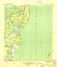
 1921 Fairhope1921 Print · USGSCovers Mobile County, including Mobile, Daphne, and other nearby areas
 - 1921 Map of Dauphin Island
 1921 Dauphin Island1921 Print · USGSCovers Mobile County, including Dauphin Island, Fort Morgan, and other nearby areas
 - 1921 Map of Delchamps
 1921 Delchamps1921 Print · USGSCovers Mobile County, including Bayou La Batre, Dauphin Island, and other nearby areas
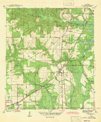
 - 1922 Map of Mobile
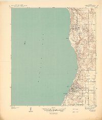
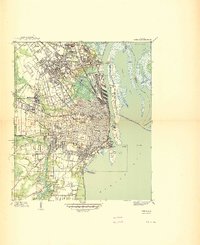
 1922 Mobile1922 Print · USGSCovers Mobile County, including Mobile, Prichard, and other nearby areas
 - 1939 Map of Daphne
 1939 Daphne1939 Print · USGSCovers Mobile County, including Mobile, Daphne, and other nearby areas
 - 1940 Map of Hollingers Island
 1940 Hollingers Island1940 Print · USGSCovers Mobile County, including Mobile, Clarke Gardens, and other nearby areas2 unique versions available
 - 1940 Map of Mobile
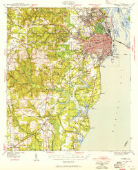
 1940 Mobile1940 Print · USGSCovers Mobile County, including Mobile, Prichard, and other nearby areas3 unique versions available
 - 1940 Map of Mobile, 1955 Print
 1940 Mobile1955 Print · USGSCovers Mobile County, including Mobile, Prichard, and other nearby areas5 unique versions available
 - 1941 Map of Chickasaw
 1941 Chickasaw1941 Print · USGSCovers Mobile County, including Mobile, Prichard, and other nearby areas2 unique versions available
 - 1941 Map of Daphne
 1941 Daphne1941 Print · USGSCovers Mobile County, including Mobile, Daphne, and other nearby areas2 unique versions available
 - 1941 Map of Cedar Point
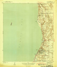
 1941 Cedar Point1941 Print · USGSCovers Mobile County, including Bayou La Batre, Dauphin Island, and other nearby areas2 unique versions available
 - 1941 Map of Blakeley
 1941 Blakeley1941 Print · USGSCovers Mobile County, including Mobile, Daphne, and other nearby areas
 - 1941 Map of Hurley, 1953 Print
 1941 Hurley1953 Print · USGSCovers Mobile County, including Mobile, Semmes, and other nearby areas3 unique versions available
 - 1941 Map of Bay Minette, 1955 Print
 1941 Bay Minette1955 Print · USGSCovers Mobile County, including Mobile, Spanish Fort, and other nearby areas2 unique versions available
 - 1941 Map of Creola, 1959 Print
 1941 Creola1959 Print · USGSCovers Mobile County, including Mobile, Prichard, and other nearby areas3 unique versions available
 - 1941 Map of Fairhope, 1965 Print
 1941 Fairhope1965 Print · USGSCovers Mobile County, including Mobile, Daphne, and other nearby areas
 - 1942 Map of Petit Bois Island
 1942 Petit Bois Island1942 Print · USGSCovers Mobile County, including Dauphin Island, Jackson County, and other nearby areas
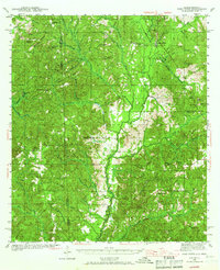
 - 1942 Map of Hurricane
 1942 Hurricane1942 Print · USGSCovers Mobile County, including Mobile, Creola, and other nearby areas
 - 1942 Map of Blakeley
 1942 Blakeley1942 Print · USGSCovers Mobile County, including Mobile, Daphne, and other nearby areas2 unique versions available
 - 1942 Map of Fort Morgan
 1942 Fort Morgan1942 Print · USGSCovers Mobile County, including Dauphin Island, Fort Morgan, and other nearby areas3 unique versions available
 - 1942 Map of Kushla
 1942 Kushla1942 Print · USGSCovers Mobile County, including Mobile, Prichard, and other nearby areas2 unique versions available
 - 1942 Map of Theodore
 1942 Theodore1942 Print · USGSCovers Mobile County, including Mobile, Tillmans Corner, and other nearby areas
 - 1942 Map of Deer Park, 1966 Print
 1942 Deer Park1966 Print · USGSCovers Mobile County, including Citronelle, Walley, and other nearby areas
Showing maps 1-25 of 112
Top cities of Mobile County
- Mobile historical maps
- Prichard historical maps
- Tillmans Corner historical maps
- Saraland historical maps
- Satsuma historical maps
- Chickasaw historical maps
See more
Frequently asked questions
- What are the different types of historical maps available for Mobile County?
- What is the oldest map of Mobile County?
- Where can I purchase historical maps of Mobile County for my home or office?
- Where can I download high-res historical maps of Mobile County?
- Are there historical topographic maps available for Mobile County?
- Is there historical aerial imagery available for Mobile County?
- Where are historical maps of Mobile County sourced from?