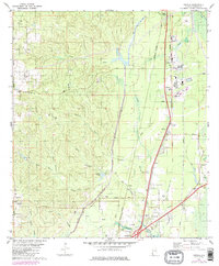
1982 Map of Creola
USGS Topo · Published 1986About this map
Creola and the industrial corridor of Mobile County are captured here during a period of transition in the mid-1980s. The landscape is defined by the dual infrastructure of the Southern and Burlington Northern railroads, which parallel the interstate and the Mobile River floodplain. Industry is prominent along this corridor, most notably at the Le Moyne area with its Filtration Plant and proximity to the river-fed swamps.
Find a feature on this map
41 named features on this map. Tap any name to fly to it.
Don’t see what you’re looking for? This feature index may not catch every label — zoom into the map to look around manually.
Map Details
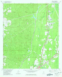
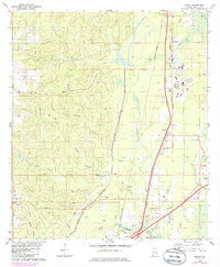
Editions of this 1982 Creola Map
3 editions found
Other maps of this area

1941 · Chickasaw
USGS Topo · 1:31,680

1941 · Bay Minette
USGS Topo · 1:62,500

1941 · Creola
USGS Topo · 1:62,500

1942 · Hurricane
USGS Topo · 1:31,680

1942 · Kushla
USGS Topo · 1:31,680
1943 · Hurricane
USGS Topo · 1:31,680

1943 · Creola
USGS Topo · 1:62,500

1943 · Chickasaw
USGS Topo · 1:31,680

1943 · Bay Minette
USGS Topo · 1:62,500

1943 · Tensaw
USGS Topo · 1:62,500