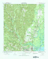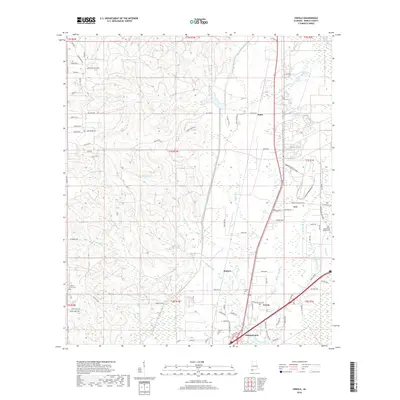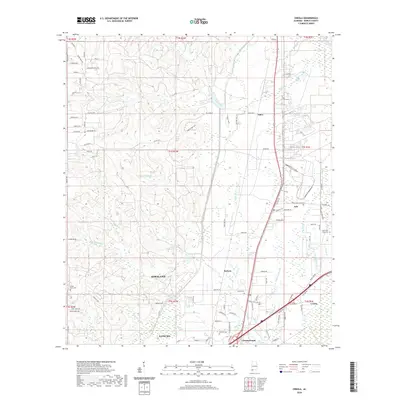
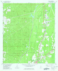
1982 Map of Creola
USGS Topo · Published 1986About this map
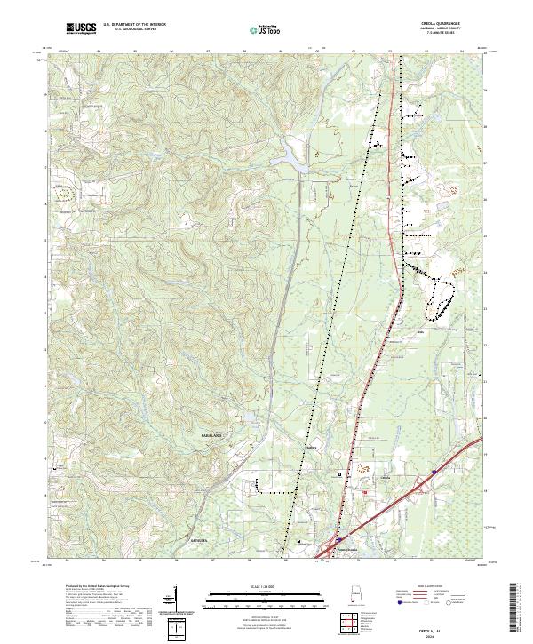
Industrial and transport corridors define this 1980s landscape north of Mobile, where the Burlington Northern and Southern railroads parallel the interstate corridor. The settlement of Creola serves as a primary hub, supported by a network of smaller communities including Axis, Le Moyne, and Salco. The map reveals a transition between concentrated industrial sites, such as the large Filtration Plant and numerous Gas Well and Oil Well locations, and the persistent rural character of the land. Waterways like Cold Creek and Gunnison Creek wind through the terrain, punctuated by local landmarks like Hatters Pond. For family historians, the sheet is particularly valuable for locating local spiritual and memorial sites, including Little Bethel Ch, New Bethel Ch, and the Forest Lawn Cem, which sit alongside established residential pockets and evolving infrastructure.
Find a feature on this map
40 named features on this map. Tap any name to fly to it.
Don’t see what you’re looking for? This feature index may not catch every label — zoom into the map to look around manually.
Map Details
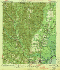
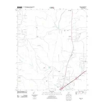
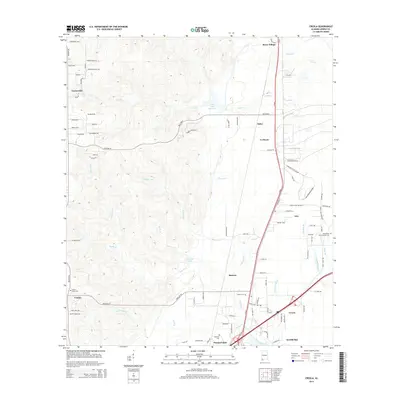
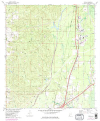
Editions of this 1982 Creola Map
3 editions found
Historical Maps of Saraland Through Time
8 maps found