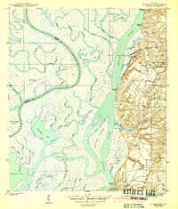
1943 Map of Hurricane
USGS Topo · Published 1943About this map
The delta complex where the Mobile River and Tensaw River converge defines this 1940s landscape, a maze of cypress swamps and tidal bayous. The Louisville and Nashville RR cuts a straight path across this watery terrain, passing Ortiz Siding and crossing the broad rivers before reaching the settlement of Hurricane on the eastern bluffs. This elevation change marks a sharp transition from the marshy lowlands of Twelvemile Island and Gravine Island to the populated hills of Baldwin County.
Find a feature on this map
60 named features on this map. Tap any name to fly to it.
Don’t see what you’re looking for? This feature index may not catch every label — zoom into the map to look around manually.
Map Details
Editions of this 1943 Hurricane Map
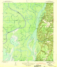
2 editions found
Other maps of this area

1921 · Fairhope
USGS Topo · 1:62,500

1922 · Mobile
USGS Topo · 1:62,500

1940 · Mobile
USGS Topo · 1:31,680

1940 · Mobile
USGS Topo · 1:62,500

1941 · Chickasaw
USGS Topo · 1:31,680

1941 · Blakeley
USGS Topo · 1:31,680

1941 · Bay Minette
USGS Topo · 1:62,500

1941 · Creola
USGS Topo · 1:62,500

1941 · Fairhope
USGS Topo · 1:62,500

1942 · Hurricane
USGS Topo · 1:31,680