
1943 Map of Chickasaw
USGS Topo · Published 1943About this map
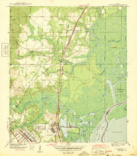
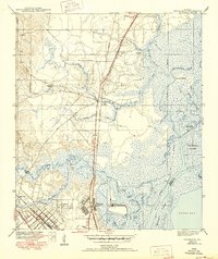
Chickasaw and its massive industrial Ship Yard anchor the southern reaches of this landscape as it appeared in the early 1940s. The map illustrates a critical hub of maritime and rail infrastructure just north of Mobile, where the Southern Railway and the Alabama Tennessee and Northern Railroad converge near the Mobile River. Residential expansion is visible in growing communities like Saraland and North Mobile, while older, smaller settlements such as Pennsylvania and Satsuma line the northern transit corridors. The intricate network of coastal waterways is documented in detail, featuring Eightmile Creek and the marshy expanses of Twelvemile Island and Blakeley Island. A notable civilian landmark, the Golf Course, sits adjacent to the terminal operations, reflecting the area's development during this era of intense mobilization.
Find a feature on this map
45 named features on this map. Tap any name to fly to it.
Don’t see what you’re looking for? This feature index may not catch every label — zoom into the map to look around manually.
Map Details
Editions of this 1943 Chickasaw Map
3 editions found
Other maps of this area

1921 · Fairhope
USGS Topo · 1:62,500

1922 · Mobile
USGS Topo · 1:62,500

1940 · Mobile
USGS Topo · 1:31,680

1940 · Mobile
USGS Topo · 1:62,500

1941 · Chickasaw
USGS Topo · 1:31,680

1941 · Blakeley
USGS Topo · 1:31,680

1941 · Bay Minette
USGS Topo · 1:62,500

1941 · Creola
USGS Topo · 1:62,500

1941 · Fairhope
USGS Topo · 1:62,500

1942 · Hurricane
USGS Topo · 1:31,680