Loading...
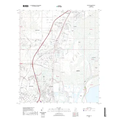
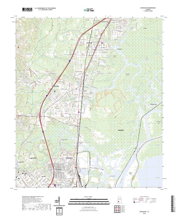
Loading map...1943 Map of Chickasaw
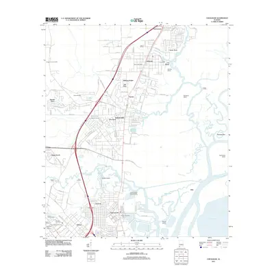
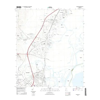
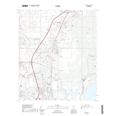
USGS Topo · Published 1950About this map
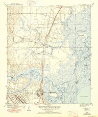
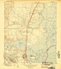
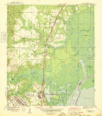
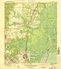
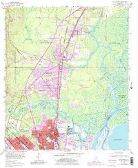
Industrial expansion and marshland navigation characterize this part of Mobile County during the mid-twentieth century. The deep-water facilities at the Ship Yard on Chickasaw Creek stand out as a center of local activity, linked to the broader region by a dense network of competing rail lines including the Southern Railway and the Louisville and Nashville RR. This infrastructure supported growing residential and industrial nodes at Chickasaw, Saraland, and Satsuma.
Find a feature on this map
50 named features on this map. Tap any name to fly to it.
Don’t see what you’re looking for? This feature index may not catch every label — zoom into the map to look around manually.
Map Details
Date Portrayed1943
Date Published1950
PublisherU.S. Geological Survey
Map TypeTopographic
Scale1:31,680
Physical Dimensions17.42 x 20.71 inches
Editions of this 1943 Chickasaw Map
3 editions found
Historical Maps of Mobile Through Time
8 maps found
Featured Locations
Source Details
SourceU.S. Geological Survey
CopyrightPublic Domain