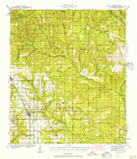
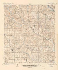
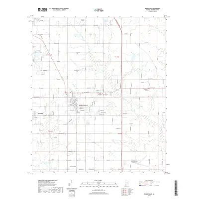
1941 Map of Robertsdale
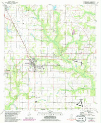
USGS Topo · Published 1956About this map
The Louisville and Nashville railroad corridor anchors this survey of central Baldwin County, showing the agricultural and timber-based economy of the early 1940s. The town of Robertsdale serves as a local hub, surrounded by smaller settlements like Silverhill, Loxley, and Halls. The landscape is defined by the winding paths of the Styx River and the Blackwater River, which transition from dense creek systems in the north to broader southern drainages.
Find a feature on this map
46 named features on this map. Tap any name to fly to it.
Don’t see what you’re looking for? This feature index may not catch every label — zoom into the map to look around manually.
Map Details
Editions of this 1941 Robertsdale Map
3 editions found
Historical Maps of Robertsdale Through Time
9 maps found
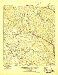
1920 Robertsdale
Baldwin County, AL
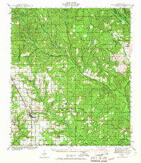
1941 Robertsdale
Baldwin County, AL
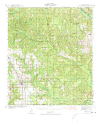
1943 Robertsdale
Baldwin County, AL
1980 Robertsdale
Baldwin County, AL
2011 Robertsdale
Baldwin County, AL
2014 Robertsdale
Baldwin County, AL
2018 Robertsdale
Baldwin County, AL
2020 Robertsdale
Baldwin County, AL
2024 Robertsdale
Baldwin County, AL