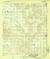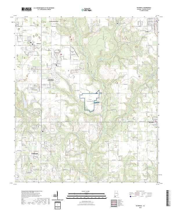
1941 Map of Silverhill
USGS Topo · Published 1941About this map
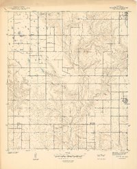
Silverhill and the surrounding Baldwin County countryside appear as a patchwork of small-scale farms and cultural centers just before the mid-century. This preliminary edition, based on a 1939-1940 survey, reveals a diverse community landscape through its civic and religious institutions. Named enclaves like Yelling Settlement and Belforest anchor the western reaches, while the eastern edge is defined by the burgeoning town of Loxley. Cultural landmarks such as Bohemian Hall and the Friends Meetinghouse reflect the varied heritage of local settlers.
Find a feature on this map
27 named features on this map. Tap any name to fly to it.
Don’t see what you’re looking for? This feature index may not catch every label — zoom into the map to look around manually.
Map Details
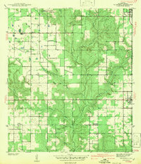
Editions of this 1941 Silverhill Map
This is the sole edition of this map. No revisions or reprints were ever made.
Historical Maps of Daphne Through Time
9 maps found