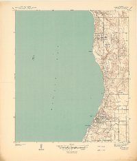
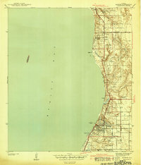
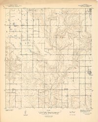
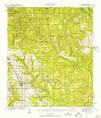
1940 Map of Silverhill
USGS Topo · Published 1940About this map
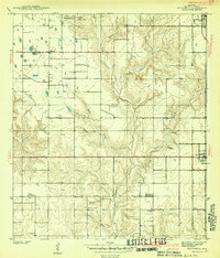
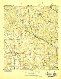
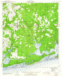
The Fish River and its numerous tributaries, including Corn Branch and Perone Branch, define the agricultural and timbered landscape of Baldwin County at the end of the 1930s. This survey illustrates a cluster of early 20th-century immigrant and African American communities, notably Yelling Settlement and the town of Silverhill, where Bohemian Hall stands as a cultural marker. The distribution of civic and religious life is visible through institutions like the Universal African Ch, the Friends Meetinghouse, and Belforest Sch.
Find a feature on this map
24 named features on this map. Tap any name to fly to it.
Don’t see what you’re looking for? This feature index may not catch every label — zoom into the map to look around manually.
Map Details
Editions of this 1940 Silverhill Map
This is the sole edition of this map. No revisions or reprints were ever made.
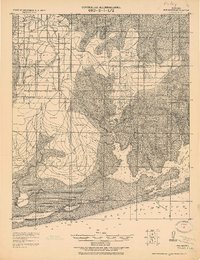
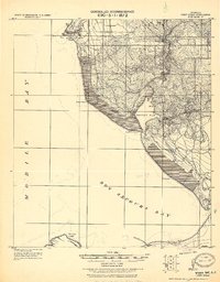
Other maps of this area
1920 · Robertsdale
USGS Topo · 1:62,500
1921 · Bon Secour
USGS Topo · 1:62,500
1921 · Point Clear
USGS Topo · 1:62,500

1921 · Fairhope
USGS Topo · 1:62,500
1939 · Daphne
USGS Topo · 1:31,680
1941 · Daphne
USGS Topo · 1:31,680
1941 · Silverhill
USGS Topo · 1:31,680

1941 · Blakeley
USGS Topo · 1:31,680
1941 · Robertsdale
USGS Topo · 1:62,500
1941 · Foley
USGS Topo · 1:62,500