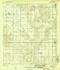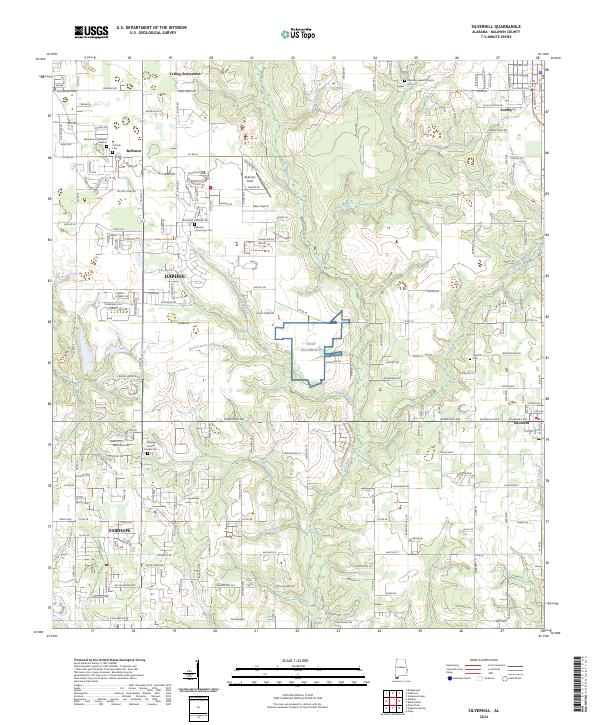
1942 Map of Silverhill
USGS Topo · Published 1942About this map
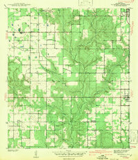
The Fish River and its intricate network of tributaries like Corn Branch and Caney Br define the geography of central Baldwin County at the start of the 1940s. This agricultural landscape is anchored by the community of Silverhill, where the presence of the Bohemian Hall and Faith Mission Covenant Ch reflects the unique cultural heritage of the area's settlers. The survey shows a dispersed but organized rural society, with the Belforest Sch and multiple churches, including the Universal African Ch and Friends Meetinghouse, serving the local population. Transportation is dominated by the Old Pensacola Road, while the northeastern corner of the map captures the early development of Loxley. This survey, conducted by F. H. Sargent, provides a precise record of farmsteads and rural roads before the significant post-war expansion in the region.
Find a feature on this map
25 named features on this map. Tap any name to fly to it.
Don’t see what you’re looking for? This feature index may not catch every label — zoom into the map to look around manually.
Map Details
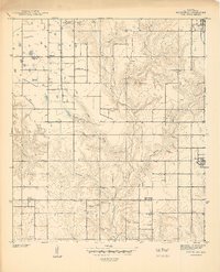
Editions of this 1942 Silverhill Map
This is the sole edition of this map. No revisions or reprints were ever made.
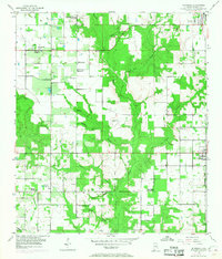
Historical Maps of Daphne Through Time
9 maps found