
1941 Map of Fort Barrancas
USGS Topo · Published 1941About this map
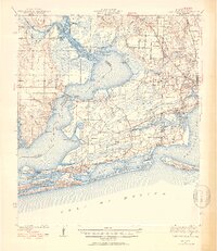
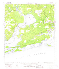
Fort Barrancas stands as the historic centerpiece of this coastal survey, overlooking the complex waters where Pensacola Bay meets the Gulf of Mexico. The map documents a critical period of regional development during the early 1940s, featuring the aviation infrastructure at Corry Field and the growing residential pockets of Warrington and Brownsville. Along the state line, the Perdido River and Perdido Bay separate Florida from Alabama, linked by the Lillian Bridge.
Find a feature on this map
86 named features on this map. Tap any name to fly to it.
Don’t see what you’re looking for? This feature index may not catch every label — zoom into the map to look around manually.
Map Details
Editions of this 1941 Fort Barrancas Map
3 editions found
Other maps of this area

1920 · Milton
USGS Topo · 1:62,500

1920 · Robertsdale
USGS Topo · 1:62,500

1921 · Bon Secour
USGS Topo · 1:62,500

1921 · Pensacola
USGS Topo · 1:62,500

1921 · Fort Barrancas
USGS Topo · 1:62,500

1921 · Muscogee
USGS Topo · 1:62,500

1941 · Muscogee
USGS Topo · 1:62,500

1941 · Robertsdale
USGS Topo · 1:62,500

1941 · Pensacola
USGS Topo · 1:62,500

1941 · Milton
USGS Topo · 1:62,500