
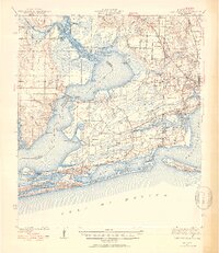
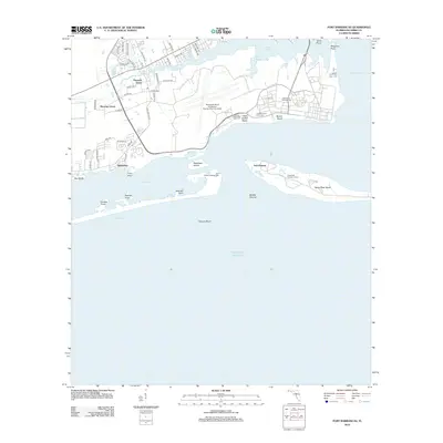
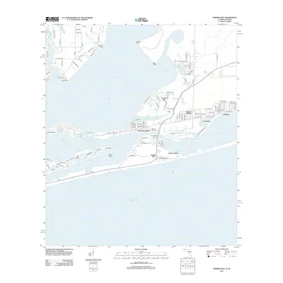
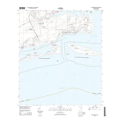
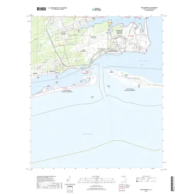
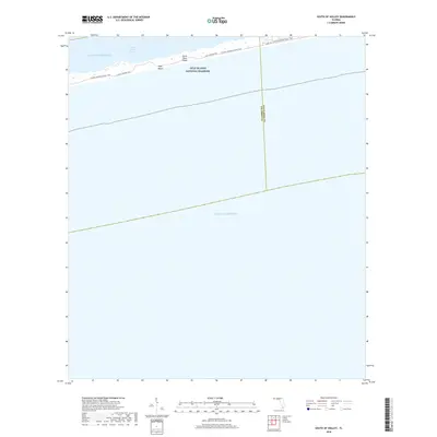
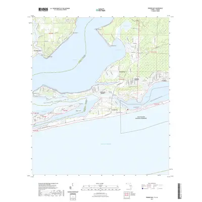
1941 Map of Fort Barrancas
USGS Topo · Published 1968About this map
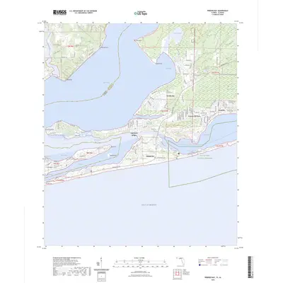
Fort Barrancas and the military airfield at Corry Field anchor this coastal landscape along the border of Florida and Alabama. The survey depicts a shoreline defined by the complex waters of Perdido Bay and Big Lagoon, where the Intracoastal Waterway cuts behind Santa Rosa Island. Inland, the settlement pattern shows growing communities like Warrington, Myrtle Grove, and West Pensacola situated near the head of Bayou Grande. Across the Perdido River via the Lillian Bridge, the Alabama side remains more sparsely populated, marked by Lillian and the swamps of the Perdido River valley. This era reveals the transition from isolated coastal landings like Hurst Ldg to established residential and military hubs, including local landmarks such as Union Hill Ch and Mt Pilgrim Ch.
Find a feature on this map
88 named features on this map. Tap any name to fly to it.
Don’t see what you’re looking for? This feature index may not catch every label — zoom into the map to look around manually.
Map Details
Editions of this 1941 Fort Barrancas Map
3 editions found

Historical Maps of Pensacola Through Time
77 maps found
1941 Fort Barrancas
Escambia County, FL

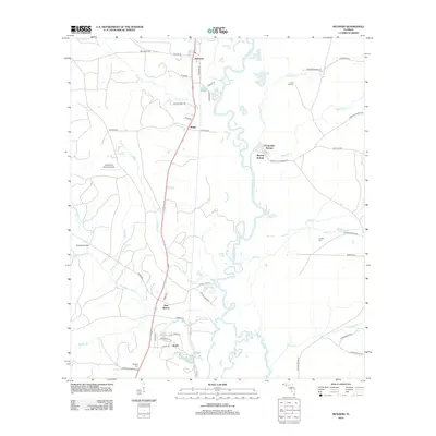
1941 Muscogee
Escambia County, FL

1943 Fort Barrancas
Escambia County, FL

1943 Muscogee
Escambia County, FL

1944 Fort Barrancas
Escambia County, FL

1944 Perdido Bay North
Escambia County, FL

1944 Perdido Bay South
Escambia County, FL

1970 Fort Barrancas
Escambia County, FL

1970 Perdido Bay
Escambia County, FL

1970 South of Holley
Escambia County, FL

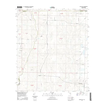
1978 Barrineau Park
Escambia County, FL

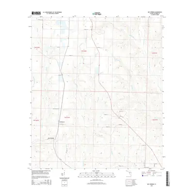
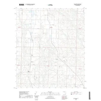
1978 Bay Springs
Escambia County, FL

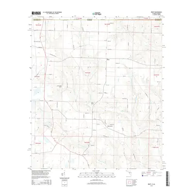
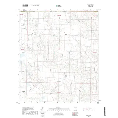
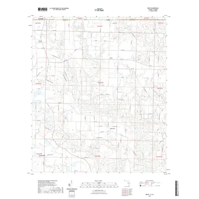
1978 Bratt
Escambia County, FL

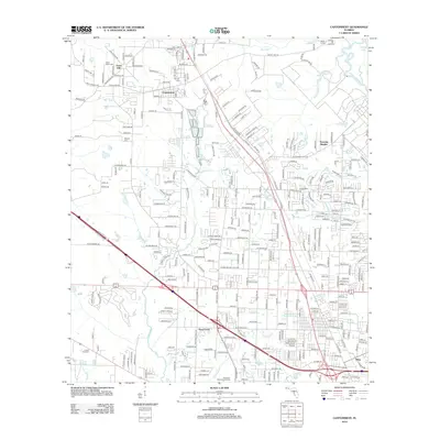
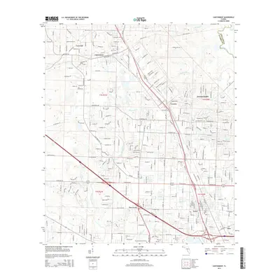
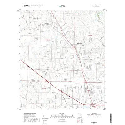
1978 Cantonment
Escambia County, FL

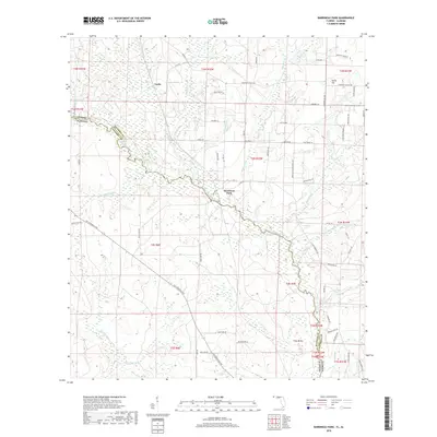
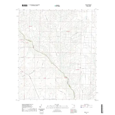
1978 Enon
Escambia County, FL

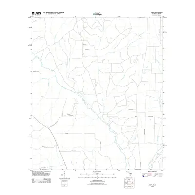
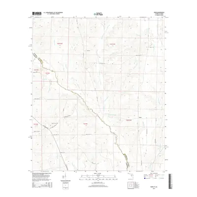
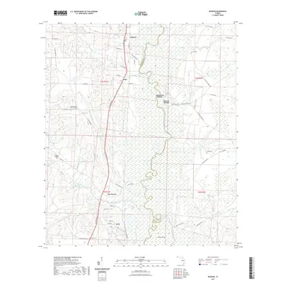
1978 McDavid
Escambia County, FL

1978 Walnut Hill
Escambia County, FL

1994 Barrineau Park
Escambia County, FL

1994 Bay Springs
Escambia County, FL

1994 Cantonment
Escambia County, FL

1994 Enon
Escambia County, FL

1994 Fort Barrancas
Escambia County, FL

1994 McDavid
Escambia County, FL

1994 Perdido Bay
Escambia County, FL
2012 Barrineau Park
Escambia County, FL
2012 Bay Springs
Escambia County, FL
2012 Bratt
Escambia County, FL
2012 Cantonment
Escambia County, FL
2012 Enon
Escambia County, FL
2012 Fort Barrancas
Escambia County, FL
2012 McDavid
Escambia County, FL
2012 Perdido Bay
Escambia County, FL
2012 South of Holley
Escambia County, FL
2012 Walnut Hill
Escambia County, FL
2015 Barrineau Park
Escambia County, FL
2015 Bay Springs
Escambia County, FL
2015 Bratt
Escambia County, FL
2015 Cantonment
Escambia County, FL
2015 Enon
Escambia County, FL
2015 Fort Barrancas
Escambia County, FL
2015 McDavid
Escambia County, FL
2015 Perdido Bay
Escambia County, FL
2015 South of Holley
Escambia County, FL
2015 Walnut Hill
Escambia County, FL
2018 Barrineau Park
Escambia County, FL
2018 Bay Springs
Escambia County, FL
2018 Bratt
Escambia County, FL
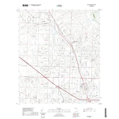
2018 Cantonment
Escambia County, FL
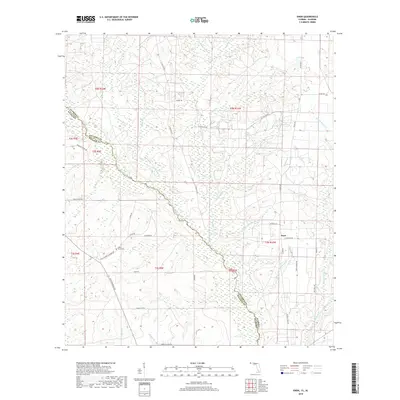
2018 Enon
Escambia County, FL
2018 Fort Barrancas
Escambia County, FL
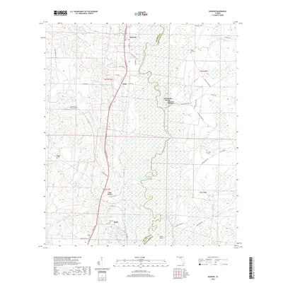
2018 McDavid
Escambia County, FL

2018 Perdido Bay
Escambia County, FL
2018 South of Holley
Escambia County, FL
2018 Walnut Hill
Escambia County, FL
2021 Barrineau Park
Escambia County, FL
2021 Bay Springs
Escambia County, FL
2021 Bratt
Escambia County, FL
2021 Cantonment
Escambia County, FL
2021 Enon
Escambia County, FL

2021 Fort Barrancas
Escambia County, FL
2021 McDavid
Escambia County, FL
2021 Perdido Bay
Escambia County, FL
2021 South of Holley
Escambia County, FL
2021 Walnut Hill
Escambia County, FL

2024 Barrineau Park
Escambia County, FL

2024 Bay Springs
Escambia County, FL

2024 Bratt
Escambia County, FL

2024 Cantonment
Escambia County, FL

2024 Enon
Escambia County, FL
2024 Fort Barrancas
Escambia County, FL

2024 McDavid
Escambia County, FL
2024 Perdido Bay
Escambia County, FL
2024 South of Holley
Escambia County, FL

2024 Walnut Hill
Escambia County, FL

2025 Fort Barrancas
Escambia County, FL

2025 Perdido Bay
Escambia County, FL

2025 South of Holley
Escambia County, FL