
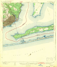
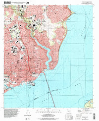
1921 Map of Pensacola
USGS Topo · Published 1921About this map
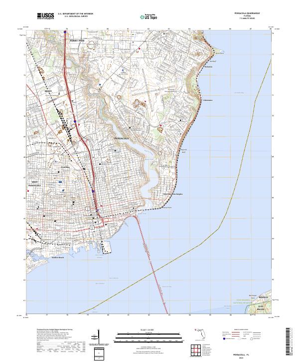
Pensacola and its surrounding coastal waters appear in detail following fieldwork by the Corps of Engineers, U. S. Army under the direction of Col. W. M. Black. The map highlights the strategic maritime and military importance of the region, featuring the U. S. Live Oak Plantation on the peninsula and a Quarantine Station near Sabine Point. Industrial activity is evident along the waterfront with the Muscogee Wharf and Perdido Wharf, served by the L & N R R and P & P R R rail lines. Settlements such as Goulding, Brent, and Bohemia dot the landscape north of the bay, while the shoreline is defined by prominent landmarks like Red Bluff and Magnolia Bluff. The coastal geography is meticulously charted, showing the bathymetry of Pensacola Bay, Santa Rosa Sound, and East Bay leading out to the Gulf of Mexico.
Find a feature on this map
36 named features on this map. Tap any name to fly to it.
Don’t see what you’re looking for? This feature index may not catch every label — zoom into the map to look around manually.
Map Details
Editions of this 1921 Pensacola Map
This is the sole edition of this map. No revisions or reprints were ever made.
Historical Maps of Pensacola Through Time
15 maps found
1921 Pensacola
Escambia County, FL

1941 Pensacola
Escambia County, FL
1942 Pensacola
Escambia County, FL

1944 Pensacola
Escambia County, FL
1957 Pensacola
Escambia County, FL

1959 Pensacola
Escambia County, FL

1960 Pensacola
Escambia County, FL
1970 Pensacola
Escambia County, FL
1978 Pensacola
Escambia County, FL
1994 Pensacola
Escambia County, FL
2012 Pensacola
Escambia County, FL
2015 Pensacola
Escambia County, FL

2018 Pensacola
Escambia County, FL
2021 Pensacola
Escambia County, FL
2024 Pensacola
Escambia County, FL