
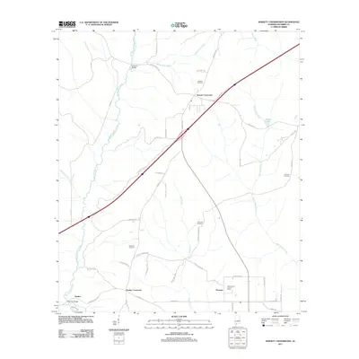
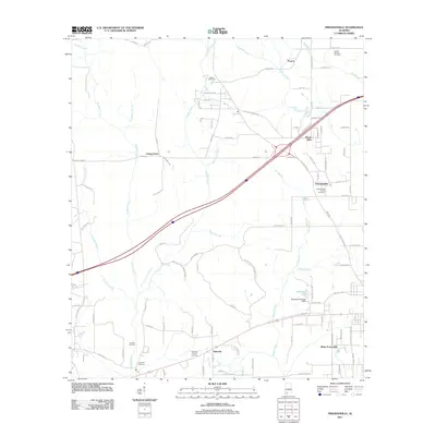
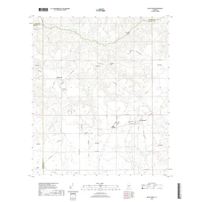
1921 Map of Muscogee
USGS Topo · Published 1921About this map
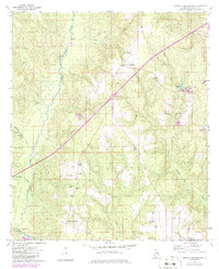
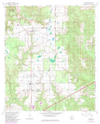
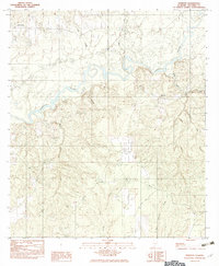
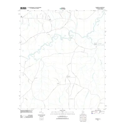
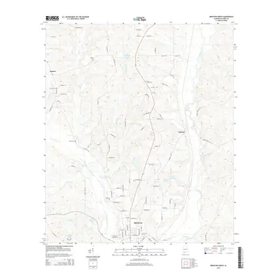
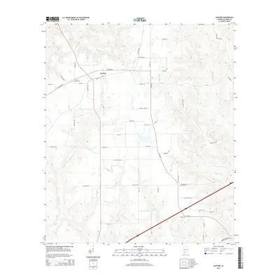
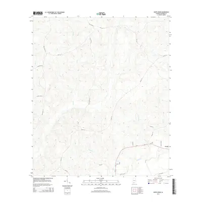
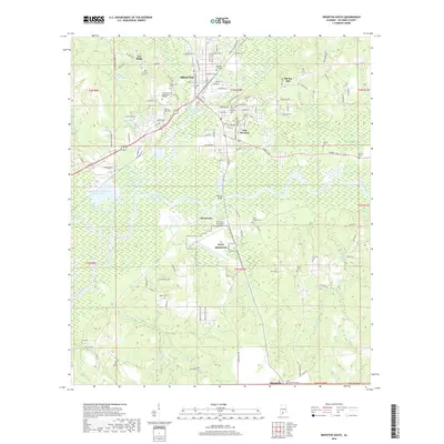
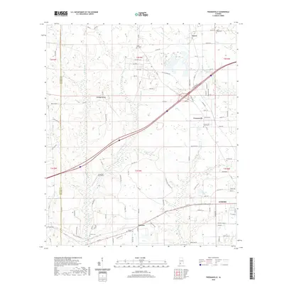
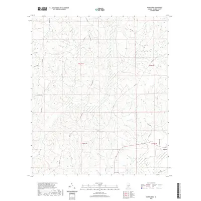
The Escambia River and Perdido River frame this 1921 reconnaissance of the borderlands between Alabama and Florida. Compiled by the Corps of Engineers, U. S. Army, the map details a landscape defined by its waterways and small rail-side settlements. The town of Muscogee sits as a central hub near the state line, while river crossings like Billy Malone Ferry and Nunez Ferry indicate how residents navigated the low-lying basin before modern bridging. Along the eastern rail corridor, towns such as Cantonment, Gonzales, and Cottage Hill mark the transition from the river bottom to the uplands.
Find a feature on this map
26 named features on this map. Tap any name to fly to it.
Don’t see what you’re looking for? This feature index may not catch every label — zoom into the map to look around manually.
Map Details
Editions of this 1921 Muscogee Map
This is the sole edition of this map. No revisions or reprints were ever made.
Historical Maps of Ensley Through Time
69 maps found

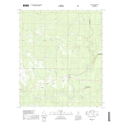
1921 Fort Barrancas
Escambia County, AL
1921 Muscogee
Escambia County, AL
1959 Brewton South
Escambia County, AL
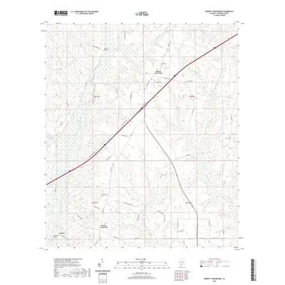
1960 Barnett Crossroads
Escambia County, AL
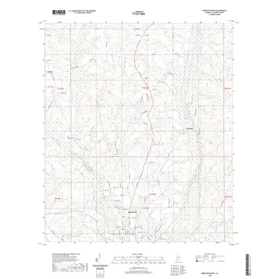
1960 Brewton North
Escambia County, AL
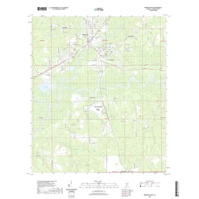
1960 Brewton South
Escambia County, AL
1960 Huxford
Escambia County, AL
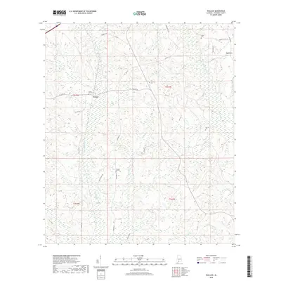
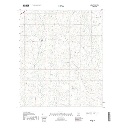
1960 Wallace
Escambia County, AL
1982 Damascus
Escambia County, AL
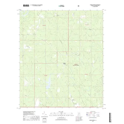
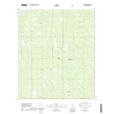
1982 Parker Springs
Escambia County, AL
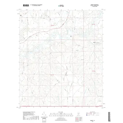
1982 Roberts
Escambia County, AL
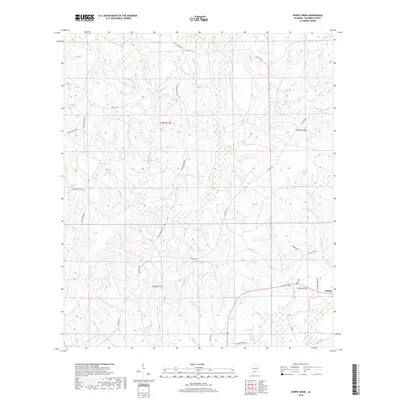
1982 Shipps Creek
Escambia County, AL
1983 Freemanville
Escambia County, AL
1983 McCullough
Escambia County, AL
2011 Barnett Crossroads
Escambia County, AL
2011 Brewton North
Escambia County, AL
2011 Brewton South
Escambia County, AL
2011 Damascus
Escambia County, AL
2011 Freemanville
Escambia County, AL
2011 Huxford
Escambia County, AL
2011 McCullough
Escambia County, AL
2011 Parker Springs
Escambia County, AL
2011 Roberts
Escambia County, AL
2011 Shipps Creek
Escambia County, AL
2011 Wallace
Escambia County, AL
2014 Barnett Crossroads
Escambia County, AL
2014 Brewton North
Escambia County, AL
2014 Brewton South
Escambia County, AL
2014 Damascus
Escambia County, AL
2014 Freemanville
Escambia County, AL
2014 Huxford
Escambia County, AL
2014 McCullough
Escambia County, AL
2014 Parker Springs
Escambia County, AL
2014 Roberts
Escambia County, AL
2014 Shipps Creek
Escambia County, AL
2014 Wallace
Escambia County, AL
2018 Barnett Crossroads
Escambia County, AL
2018 Brewton North
Escambia County, AL
2018 Brewton South
Escambia County, AL
2018 Damascus
Escambia County, AL
2018 Freemanville
Escambia County, AL
2018 Huxford
Escambia County, AL
2018 McCullough
Escambia County, AL
2018 Parker Springs
Escambia County, AL
2018 Roberts
Escambia County, AL
2018 Shipps Creek
Escambia County, AL
2018 Wallace
Escambia County, AL
2020 Barnett Crossroads
Escambia County, AL
2020 Brewton North
Escambia County, AL
2020 Brewton South
Escambia County, AL
2020 Freemanville
Escambia County, AL
2020 Huxford
Escambia County, AL
2020 McCullough
Escambia County, AL
2020 Roberts
Escambia County, AL
2020 Shipps Creek
Escambia County, AL
2020 Wallace
Escambia County, AL
2021 Damascus
Escambia County, AL
2021 Parker Springs
Escambia County, AL
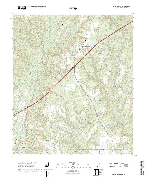
2024 Barnett Crossroads
Escambia County, AL
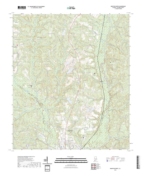
2024 Brewton North
Escambia County, AL
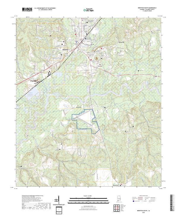
2024 Brewton South
Escambia County, AL
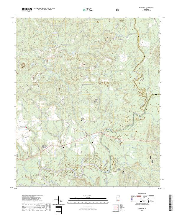
2024 Damascus
Escambia County, AL
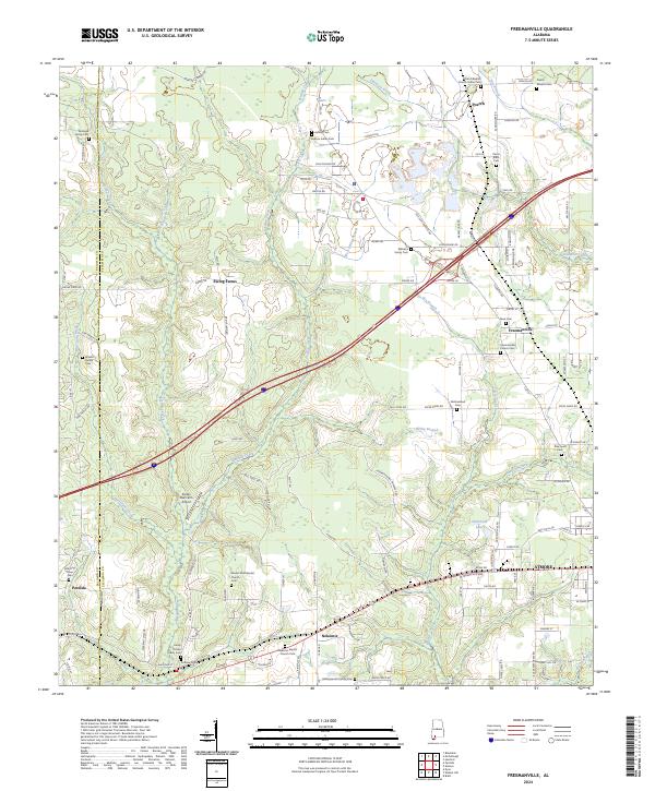
2024 Freemanville
Escambia County, AL
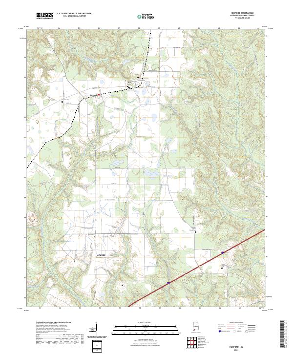
2024 Huxford
Escambia County, AL
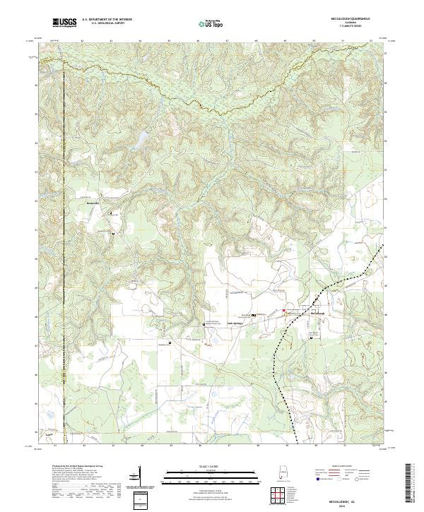
2024 McCullough
Escambia County, AL
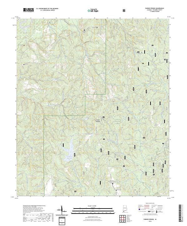
2024 Parker Springs
Escambia County, AL
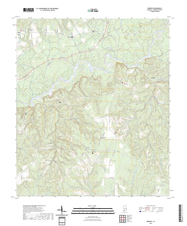
2024 Roberts
Escambia County, AL
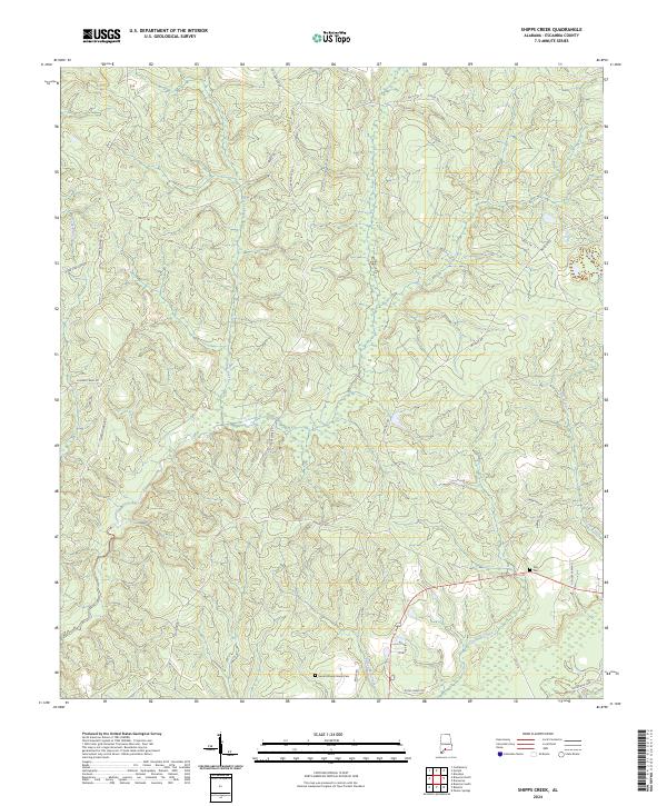
2024 Shipps Creek
Escambia County, AL
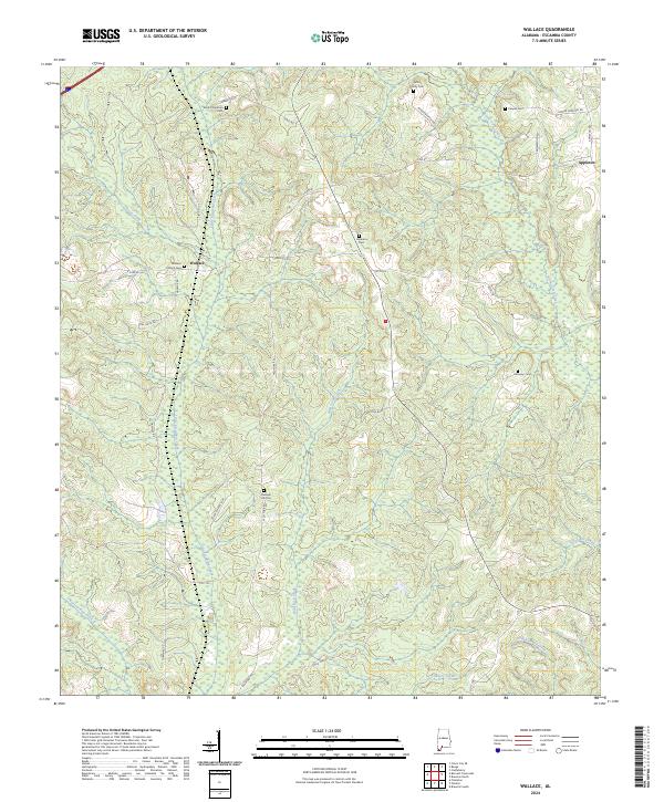
2024 Wallace
Escambia County, AL