Old Maps of Blue Springs, Alabama for Hiking & Exploration
Hike through history with 17 historic maps of Blue Springs. Explore old trails, ghost towns, and forgotten backroads — perfect for outdoor adventurers and local explorers.
- Rediscover forgotten places: Map out old mining camps, roads, and footpaths that no longer exist on modern maps.
- Layer with modern tools: Combine with LiDAR or satellite views to plan hikes through historical terrain.
- Made for exploration: Popular among hikers, overlanders, and local history lovers.
Use these maps to find adventure and explore the hidden past of Blue Springs.
Blue Springs, AL maps
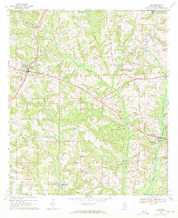
(17)- 1953 Map of Dothan, 1966 Print
 1953 Dothan1966 Print · USGSSoutheast Alabama and Southwest Georgia are captured during a period of massive hydraulic and military expansion in the mid-fifties. Genealogists and historians can trace rural landmarks like Antioch Church and School, the Andrew Jackson Monument, and the early footprint of Fort Rucker Military Reservation.3 unique versions available
 - 1954 Map of Dothan
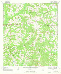
 1954 Dothan1954 Print · USGSSoutheast Alabama and Southwest Georgia are seen here in the mid-fifties, during a decade of military expansion and rural transition. Genealogists can trace the location of country schools like Little Zion School or the grounds of Kolomoki Mounds State Park.
 - 1955 Map of Dothan
 1955 Dothan1955 Print · USGSSoutheast Alabama and Southwest Georgia are captured here in the mid-fifties, showing a landscape of river-port history and growing military bases. Researchers can trace rural life via the Andrew Jackson Monument, Bauxite mines, and the Central of Georgia RR.
 - 1969 Map of Clio, 1971 Print
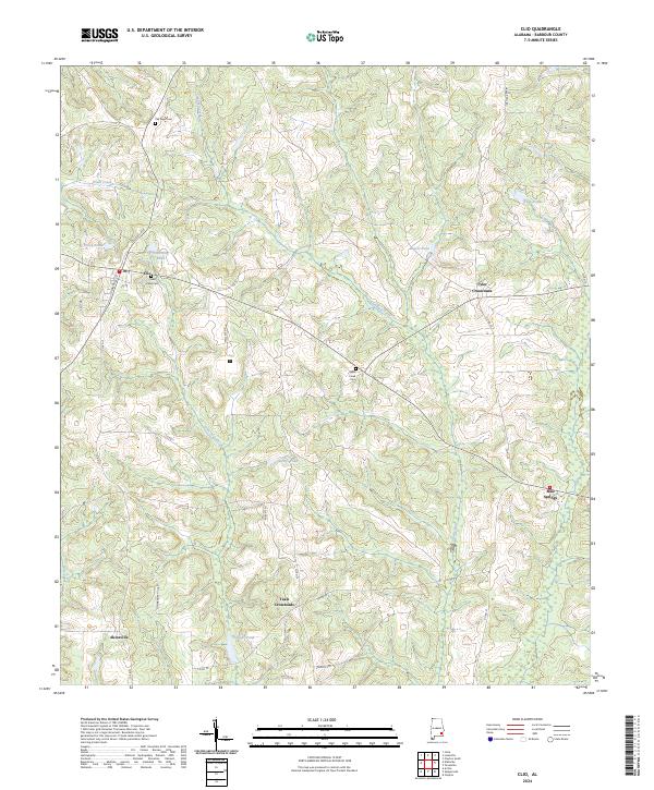
 1969 Clio1971 Print · USGSBarbour County in the late sixties shows a landscape of established family farms and small crossroads settlements tied together by the Central of Georgia railroad. Genealogists and local historians can trace rural landmarks from Blue Springs State Park to small churches like Fine Hope Ch and Antioch Ch.2 unique versions available
 - 1969 Map of Texasville, 1971 Print
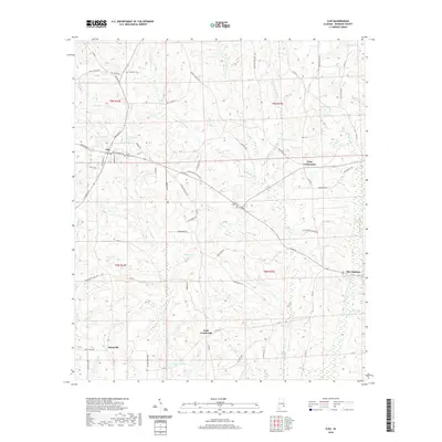
 1969 Texasville1971 Print · USGSSoutheast Alabama in the late sixties reveals a landscape of quiet rural hamlets and family-named ridges along the Barbour and Henry county line. Genealogists and historians can trace local community roots through landmarks like Blue Springs Sch, St Peters Ch, and the settlement of Texasville.
 - 1981 Map of Troy, 1982 Print
 1981 Troy1982 Print · USGSThe Chattahoochee River valley and the wiregrass region of Alabama come alive in the early eighties as the Walter F George Reservoir reshapes the eastern border. Genealogists can trace family roots through historic railroad towns like Brundidge and Louisville or explore the rural surroundings of Blue Springs State Park.
 - 1997 Map of Clopton
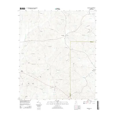
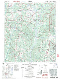 1997 Clopton1997 Print · USGSSoutheast Alabama at the close of the twentieth century reveals a landscape of river-fed hamlets and rural schoolhouses. Researchers can map family roots near Lawrenceville and Clopton, or trace the legacy of sites like the County Training School and Murphy Station.
 - 2011 Map of Texasville, 2011 Print
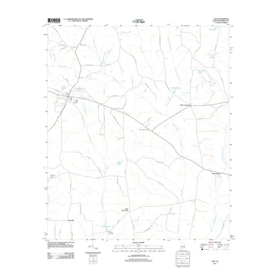
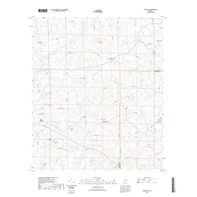
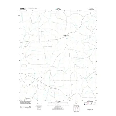 2011 Texasville2011 Print · USGSCovers Blue Springs, including Edwin, Tew, and other nearby areas
 - 2011 Map of Clio, 2011 Print
 2011 Clio2011 Print · USGSCovers Blue Springs, including Clio, Teals Crossroads, and other nearby areas
 - 2014 Map of Clio, 2014 Print
 2014 Clio2014 Print · USGSCovers Blue Springs, including Clio, Teals Crossroads, and other nearby areas
 - 2014 Map of Texasville, 2014 Print
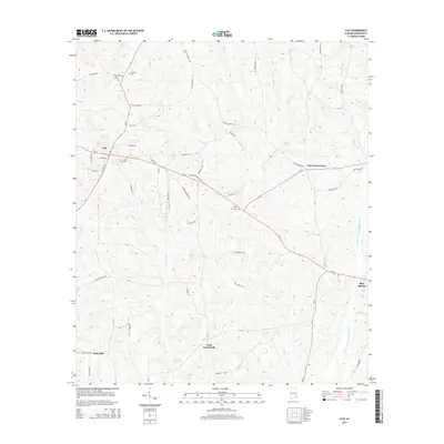
 2014 Texasville2014 Print · USGSCovers Blue Springs, including Edwin, Tew, and other nearby areas
 - 2018 Map of Clio, 2018 Print
 2018 Clio2018 Print · USGSCovers Blue Springs, including Clio, Teals Crossroads, and other nearby areas
 - 2018 Map of Texasville, 2018 Print
 2018 Texasville2018 Print · USGSCovers Blue Springs, including Edwin, Tew, and other nearby areas
 - 2020 Map of Clio, 2020 Print
 2020 Clio2020 Print · USGSCovers Blue Springs, including Clio, Teals Crossroads, and other nearby areas
 - 2020 Map of Texasville, 2020 Print
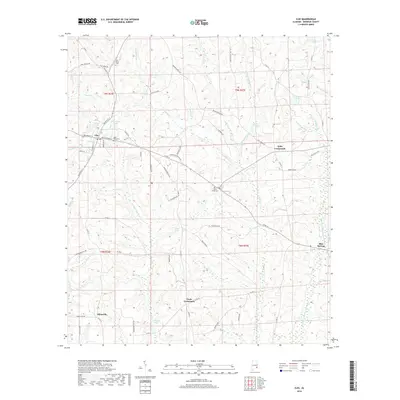
 2020 Texasville2020 Print · USGSCovers Blue Springs, including Edwin, Tew, and other nearby areas
 - 2024 Map of Clio, 2024 Print
 2024 Clio2024 Print · USGSBarbour County's rural crossroads and family homesteads are documented here during the early twenty-first century. Genealogists and local historians can trace legacy sites like Pea River Cem, the settlement of Blue Springs, and family-named water features like Tillmans Pond.
 - 2024 Map of Texasville, 2024 Print
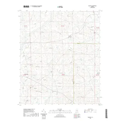
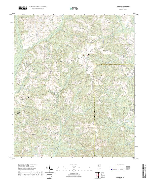 2024 Texasville2024 Print · USGSTexasville and the surrounding Barbour County countryside are documented here in the early twenty-first century. Genealogists can trace family sites at Magnolia Memorial Cem, Edwin Cem, and Tew Cem across this rural landscape.
End of results
Showing maps 1-17 of 17
Top cities near Blue Springs
- Ozark historical maps
- Eufaula historical maps
- Abbeville historical maps
- Clayton historical maps
- Clio historical maps
- Ariton historical maps
See more
Frequently asked questions
- What are the different types of historical maps available for Blue Springs?
- What is the oldest map of Blue Springs?
- Where can I purchase historical maps of Blue Springs for my home or office?
- Where can I download high-res historical maps of Blue Springs?
- Are there historical topographic maps available for Blue Springs?
- Is there historical aerial imagery available for Blue Springs?
- Where are historical maps of Blue Springs sourced from?