Old Maps of Clayton, Alabama
Explore 22 old maps of Clayton, spanning from 1953 to today. These high-resolution historic maps reveal how streets, neighborhoods, landmarks, and natural features evolved over time — perfect for genealogy, metal detecting, research, and local history exploration.
What you can do with these maps:
- See how Clayton changed over time: Compare historical maps to modern-day views to trace roads, homesites, rail lines & more.
- View detailed metadata: Each map includes creators, publishers, year, scale, and archive source.
- Overlay maps with satellite & LiDAR: Visualize the past alongside modern tools to explore terrain & human change.
- Trusted historical sources: Maps sourced from the USGS, Library of Congress, and other archives.
- Access maps your way: View online, download high-res files, or order prints for personal or research use.
Start exploring old maps of Clayton to uncover forgotten places, hidden landmarks, and the deep history beneath your feet.
Clayton, AL maps
(22)- 1953 Map of Dothan, 1966 Print
 1953 Dothan1966 Print · USGSSoutheast Alabama and Southwest Georgia are captured during a period of massive hydraulic and military expansion in the mid-fifties. Genealogists and historians can trace rural landmarks like Antioch Church and School, the Andrew Jackson Monument, and the early footprint of Fort Rucker Military Reservation.3 unique versions available
 - 1954 Map of Dothan
 1954 Dothan1954 Print · USGSSoutheast Alabama and Southwest Georgia are seen here in the mid-fifties, during a decade of military expansion and rural transition. Genealogists can trace the location of country schools like Little Zion School or the grounds of Kolomoki Mounds State Park.
 - 1955 Map of Dothan
 1955 Dothan1955 Print · USGSSoutheast Alabama and Southwest Georgia are captured here in the mid-fifties, showing a landscape of river-port history and growing military bases. Researchers can trace rural life via the Andrew Jackson Monument, Bauxite mines, and the Central of Georgia RR.
 - 1967 Map of Clayton South, 1970 Print
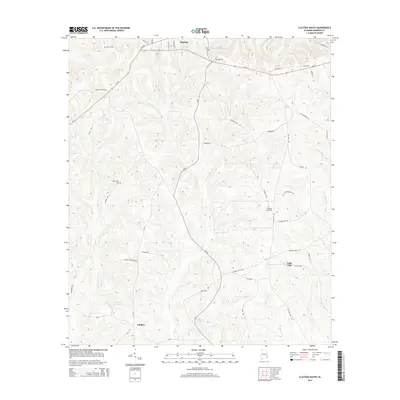
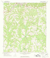 1967 Clayton South1970 Print · USGSBarbour County in the late sixties reveals a landscape shaped by long-standing treaty boundaries and a network of rural congregations. Genealogists can trace family connections through numerous landmarks like Tabernacle Cem, Antioch Ch, and the Old Indian Treaty Bdy.
 - 1968 Map of Clayton North, 1970 Print
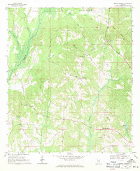
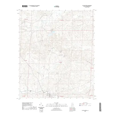
 1968 Clayton North1970 Print · USGSBarbour County in the late sixties shows a landscape where historic boundary lines and rail corridors still shaped daily life. Trace family roots at Flourney Cem, locate the old County Training Sch, or follow the Old Indian Treaty Boundary Road.2 unique versions available
 - 1968 Map of Mount Andrew, 1971 Print
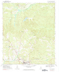
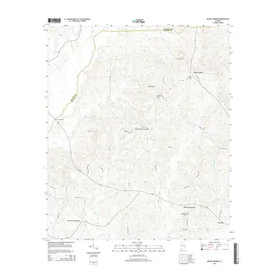
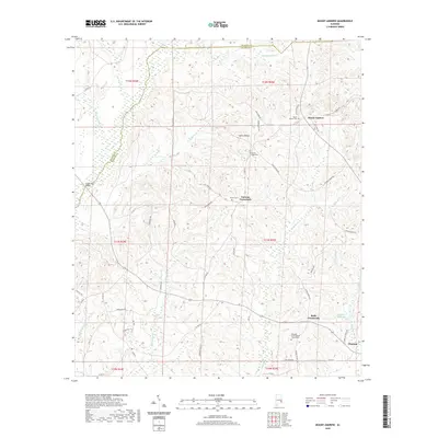
 1968 Mount Andrew1971 Print · USGSBarbour County was a landscape of remote crossroads and creek-side mills in the late sixties. Genealogists can trace family footprints through numerous rural landmarks like Street Memorial Ch, Williams Millpond, and the Old Indian Treaty Boundary.
 - 1981 Map of Troy, 1982 Print
 1981 Troy1982 Print · USGSThe Chattahoochee River valley and the wiregrass region of Alabama come alive in the early eighties as the Walter F George Reservoir reshapes the eastern border. Genealogists can trace family roots through historic railroad towns like Brundidge and Louisville or explore the rural surroundings of Blue Springs State Park.
 - 2011 Map of Clayton South, 2011 Print
 2011 Clayton South2011 Print · USGSCovers Clayton, including Lime Sink, Lindsey, and other nearby areas
 - 2011 Map of Mount Andrew, 2011 Print
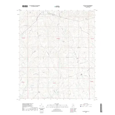
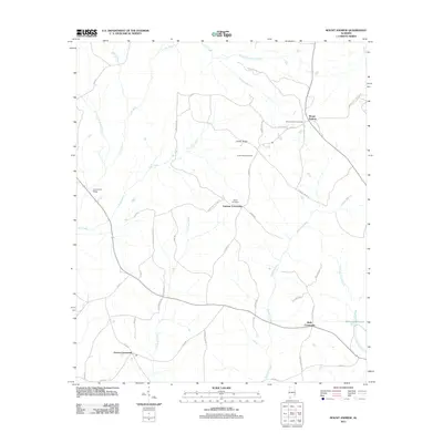 2011 Mount Andrew2011 Print · USGSCovers Clayton, including Garmon Crossroads, Mount Andrew, and other nearby areas
 - 2011 Map of Clayton North, 2011 Print
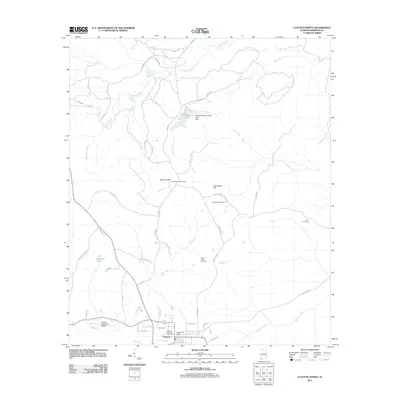 2011 Clayton North2011 Print · USGSCovers Clayton, including Barbour County, United States, and other nearby areas
 - 2014 Map of Clayton South, 2014 Print
 2014 Clayton South2014 Print · USGSCovers Clayton, including Lime Sink, Lindsey, and other nearby areas
 - 2014 Map of Mount Andrew, 2014 Print
 2014 Mount Andrew2014 Print · USGSCovers Clayton, including Garmon Crossroads, Mount Andrew, and other nearby areas
 - 2014 Map of Clayton North, 2014 Print
 2014 Clayton North2014 Print · USGSCovers Clayton, including Barbour County, United States, and other nearby areas
 - 2018 Map of Clayton South, 2018 Print
 2018 Clayton South2018 Print · USGSCovers Clayton, including Lime Sink, Lindsey, and other nearby areas
 - 2018 Map of Mount Andrew, 2018 Print
 2018 Mount Andrew2018 Print · USGSCovers Clayton, including Garmon Crossroads, Mount Andrew, and other nearby areas
 - 2018 Map of Clayton North, 2018 Print
 2018 Clayton North2018 Print · USGSCovers Clayton, including Barbour County, United States, and other nearby areas
 - 2020 Map of Clayton North, 2020 Print
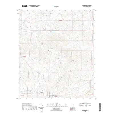
 2020 Clayton North2020 Print · USGSCovers Clayton, including Barbour County, United States, and other nearby areas
 - 2020 Map of Mount Andrew, 2020 Print
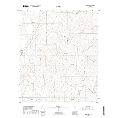
 2020 Mount Andrew2020 Print · USGSCovers Clayton, including Garmon Crossroads, Mount Andrew, and other nearby areas
 - 2020 Map of Clayton South, 2020 Print
 2020 Clayton South2020 Print · USGSCovers Clayton, including Lime Sink, Lindsey, and other nearby areas
 - 2024 Map of Clayton North, 2024 Print
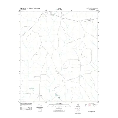
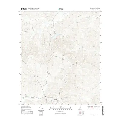
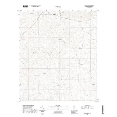
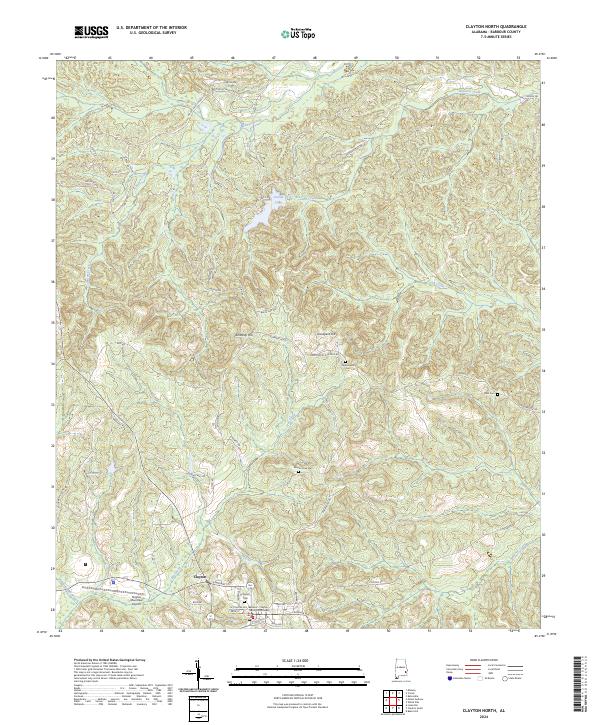 2024 Clayton North2024 Print · USGSBarbour County settlement and the rolling terrain of southeast Alabama are documented here in the modern era. Genealogists and local historians can locate family sites like Blair Cem, Mount Olive Cem, and the historic Clayton Cem.
 - 2024 Map of Mount Andrew, 2024 Print
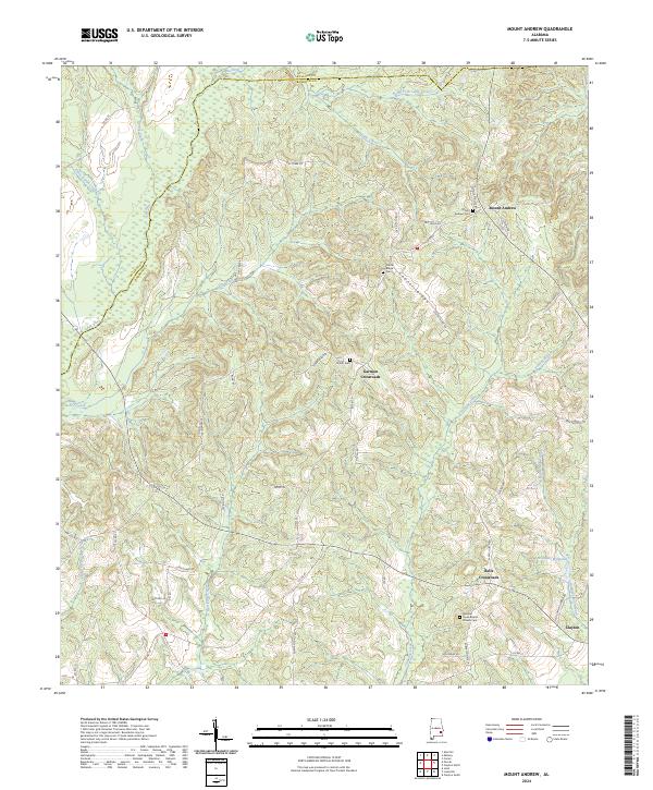 2024 Mount Andrew2024 Print · USGSBarbour County’s rural crossroads and ridge-top settlements are captured here in the contemporary era. Genealogists can trace family names and community landmarks at Mount Andrew Cem, Bells Crossroads, and the historic Pleasant Grove Baptist Church.
 - 2024 Map of Clayton South, 2024 Print
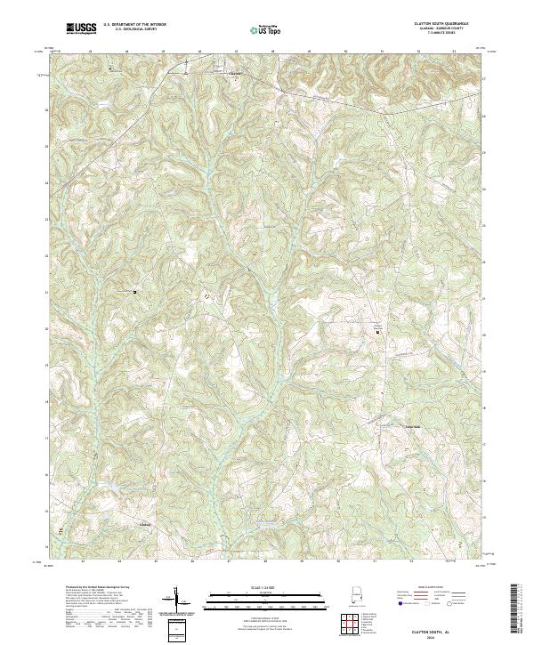 2024 Clayton South2024 Print · USGSBarbour County's rural landscape south of Clayton is documented here in the early twenty-first century. Researchers can trace family history through sites like Warren Cem, Pleasant View Cem, and the settlements of Lindsey and Lime Sink.
End of results
Showing maps 1-22 of 22
Top cities near Clayton
- Eufaula historical maps
- Clio historical maps
- Midway historical maps
- Louisville historical maps
- Bakerhill historical maps
- Blue Springs historical maps
Frequently asked questions
- What are the different types of historical maps available for Clayton?
- What is the oldest map of Clayton?
- Where can I purchase historical maps of Clayton for my home or office?
- Where can I download high-res historical maps of Clayton?
- Are there historical topographic maps available for Clayton?
- Is there historical aerial imagery available for Clayton?
- Where are historical maps of Clayton sourced from?