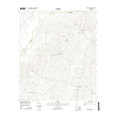
2014 Map of Mount Andrew
USGS Topo · Published 2014About this map
The Pea River and its numerous tributaries, including Spring Cr and Little Indian Cr, carve through this section of the Alabama wiregrass region. The landscape is defined by the high ground of Center Ridge, which separates the river drainage from the eastward-flowing waters of Stinking Cr and Little Cr. This terrain dictated the early settlement patterns of the area, as seen in the cluster of small communities and intersection points that serve the surrounding agricultural land.
Find a feature on this map
57 named features on this map. Tap any name to fly to it.
Don’t see what you’re looking for? This feature index may not catch every label — zoom into the map to look around manually.
Map Details
Editions of this 2014 Mount Andrew Map
This is the sole edition of this map. No revisions or reprints were ever made.
Other maps of this area

1953 · Dothan
USGS Topo · 1:250,000

1954 · Dothan
USGS Topo · 1:250,000

1955 · Dothan
USGS Topo · 1:250,000

1955 · Phenix City
USGS Topo · 1:250,000

1957 · Phenix City
USGS Topo · 1:250,000

1958 · Phenix City
USGS Topo · 1:250,000

1967 · Clayton South
USGS Topo · 1:24,000

1968 · Clayton North
USGS Topo · 1:24,000

1968 · Perote
USGS Topo · 1:24,000

1968 · Louisville
USGS Topo · 1:24,000