
1967 Map of Clayton South
USGS Topo · Published 1970About this map
Clayton serves as the focal point of this late-1960s landscape, where the Central of Georgia railroad cuts through the terrain near Wallace High Sch. The map reveals a deeply established rural social fabric, evidenced by the high density of country churches and community markers such as St Peters Ch, Mt Zion Ch, and Tabernacle Cem.
Find a feature on this map
34 named features on this map. Tap any name to fly to it.
Don’t see what you’re looking for? This feature index may not catch every label — zoom into the map to look around manually.
Map Details
Editions of this 1967 Clayton South Map
This is the sole edition of this map. No revisions or reprints were ever made.
Other maps of this area

1953 · Dothan
USGS Topo · 1:250,000

1954 · Dothan
USGS Topo · 1:250,000

1955 · Dothan
USGS Topo · 1:250,000

1968 · Baker Hill
USGS Topo · 1:24,000

1968 · White Oak
USGS Topo · 1:24,000

1968 · Clayton North
USGS Topo · 1:24,000

1968 · Louisville
USGS Topo · 1:24,000

1968 · Mount Andrew
USGS Topo · 1:24,000
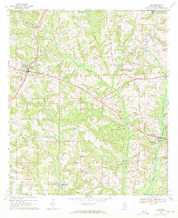
1969 · Clio
USGS Topo · 1:24,000
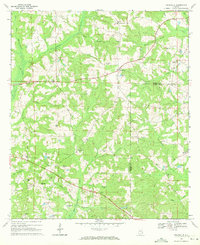
1969 · Texasville
USGS Topo · 1:24,000