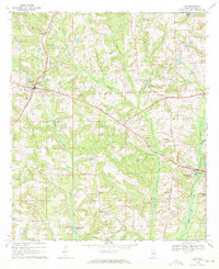
1969 Map of Clio
USGS Topo · Published 1971About this map
The town of Clio serves as the primary hub in this 1969 topographic survey of Barbour County, where the Central of Georgia railroad cuts a straight line through the undulating landscape. The map captures a predominantly rural community defined by family-named landmarks and water sources, such as Easterling Pond and Prices Ponds. Local industry is reflected in the Easterlings Fish Hatchery located southwest of the main settlement.
Find a feature on this map
39 named features on this map. Tap any name to fly to it.
Don’t see what you’re looking for? This feature index may not catch every label — zoom into the map to look around manually.
Map Details
Editions of this 1969 Clio Map
2 editions found
Other maps of this area

1953 · Dothan
USGS Topo · 1:250,000

1954 · Dothan
USGS Topo · 1:250,000

1955 · Dothan
USGS Topo · 1:250,000

1967 · Clayton South
USGS Topo · 1:24,000

1968 · Louisville
USGS Topo · 1:24,000
1968 · Josie
USGS Topo · 1:24,000
1969 · Elamville
USGS Topo · 1:24,000
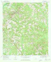
1969 · Ariton
USGS Topo · 1:24,000
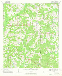
1969 · Texasville
USGS Topo · 1:24,000
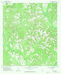
1969 · Skipperville
USGS Topo · 1:24,000