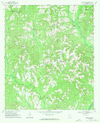
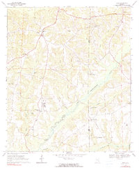
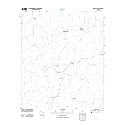
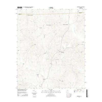
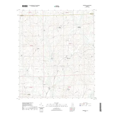
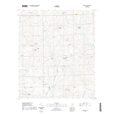
1969 Map of Skipperville
USGS Topo · Published 1971About this map
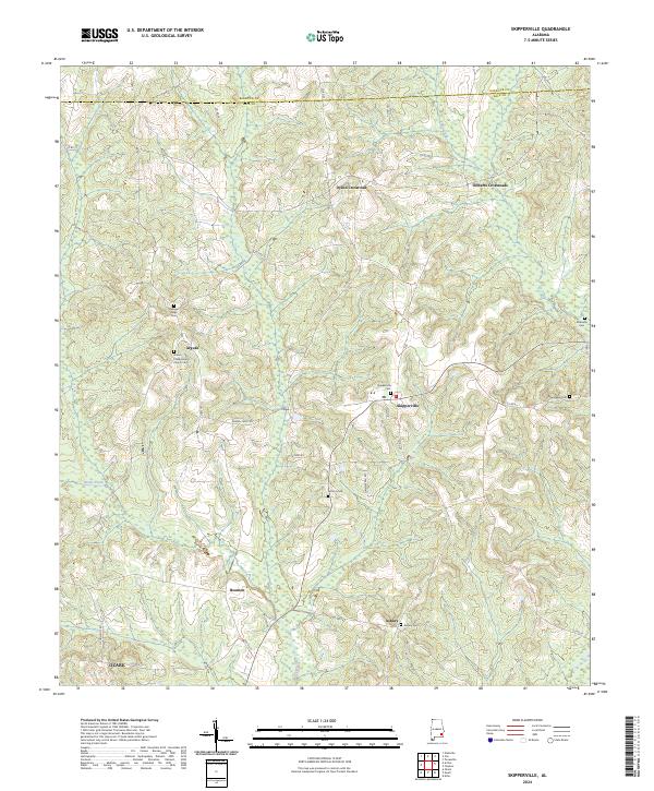
The West Fork Choctawhatchee River and its numerous tributaries, including Judy Creek and Cedar Creek, define this rural portion of the Wiregrass region in the late 1960s. The landscape is characterized by a series of crossroads communities like Phillips Crossroads, Dykes Crossroads, and Roberts Crossroads, which reflect a historic settlement pattern centered on local transport and small-scale agriculture. The largest center, Skipperville, serves as a local hub with the Skipperville Sch and nearby religious sites like St Rose Ch and Allen Chapel. To the south, the Asbury Lookout Tower stands near Asbury, overlooking the timber and farm lands. Several historical crossings, such as Bottoms Mill Bridge and Metcalf Mill Bridge, indicate the locations of former milling operations along the creeks, providing valuable leads for local historians and genealogists tracing family-owned industries and ancestral homesteads in Dale and Barbour counties.
Find a feature on this map
36 named features on this map. Tap any name to fly to it.
Don’t see what you’re looking for? This feature index may not catch every label — zoom into the map to look around manually.
Map Details
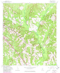
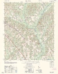
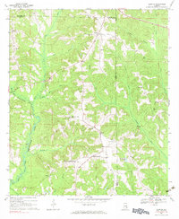
Editions of this 1969 Skipperville Map
This is the sole edition of this map. No revisions or reprints were ever made.
Historical Maps of Ozark Through Time
25 maps found
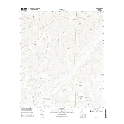
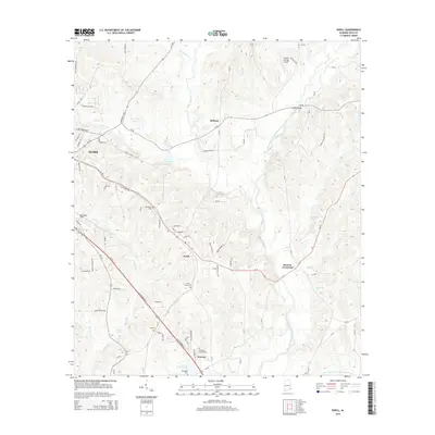
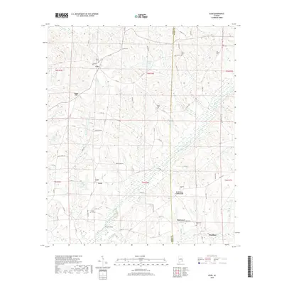
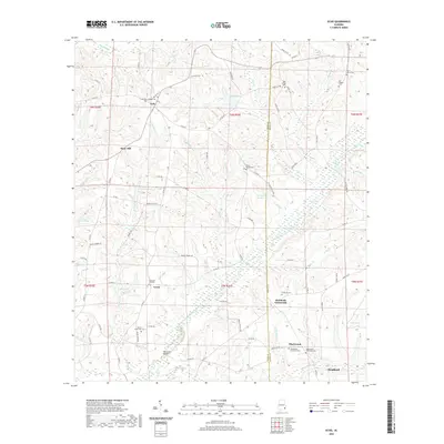
1960 Ewell
Dale County, AL
1962 Ewell
Dale County, AL
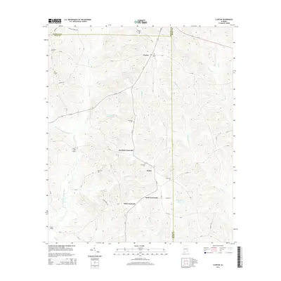
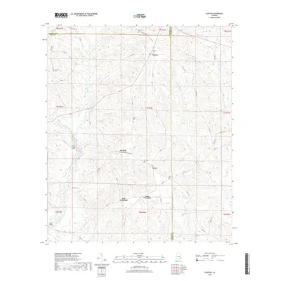
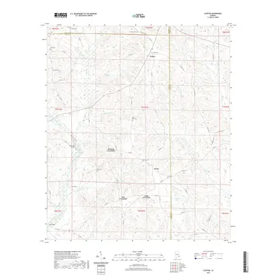
1969 Clopton
Dale County, AL
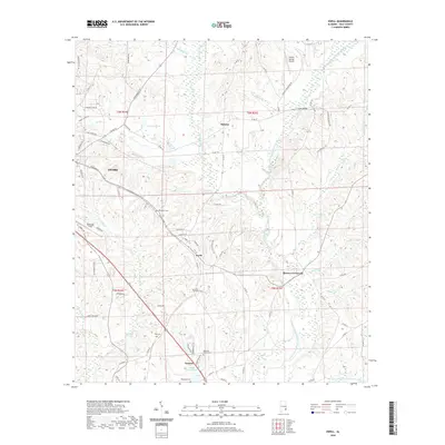
1969 Echo
Dale County, AL
1969 Skipperville
Dale County, AL
2011 Clopton
Dale County, AL
2011 Echo
Dale County, AL
2011 Ewell
Dale County, AL
2011 Skipperville
Dale County, AL
2014 Clopton
Dale County, AL
2014 Echo
Dale County, AL
2014 Ewell
Dale County, AL
2014 Skipperville
Dale County, AL
2018 Clopton
Dale County, AL
2018 Echo
Dale County, AL
2018 Ewell
Dale County, AL
2018 Skipperville
Dale County, AL
2020 Clopton
Dale County, AL
2020 Echo
Dale County, AL
2020 Ewell
Dale County, AL
2020 Skipperville
Dale County, AL
2024 Clopton
Dale County, AL
2024 Echo
Dale County, AL
2024 Ewell
Dale County, AL
2024 Skipperville
Dale County, AL