
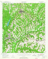
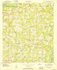
1942 Map of Enterprise
USGS Topo · Published 1942About this map
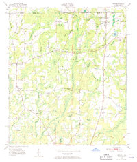
Camp Rucker Military Reservation dominates the landscape north of Enterprise in this early 1940s War Department survey, reflecting the rapid military expansion in Southeast Alabama during World War II. The map captures a densely populated rural environment characterized by a high concentration of community centers such as Union Academy and Oak Grove Ch & Sch. These institutions, alongside unique sites like the Farm Security Adm Land Utilization Project near Ozark, illustrate the social and agricultural reorganization of the era.
Find a feature on this map
113 named features on this map. Tap any name to fly to it.
Don’t see what you’re looking for? This feature index may not catch every label — zoom into the map to look around manually.
Map Details
Editions of this 1942 Enterprise Map
This is the sole edition of this map. No revisions or reprints were ever made.
Other maps of this area
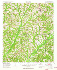
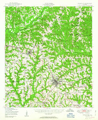
1948 · Ozark
USGS Topo · 1:62,500
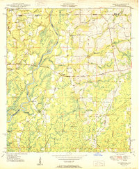
1948 · Brundidge
USGS Topo · 1:62,500

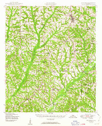
1949 · Glendale
USGS Topo · 1:62,500
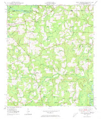
1949 · Hobbs Crossroads
USGS Topo · 1:24,000
1950 · Ozark
USGS Topo · 1:62,500
1950 · Hobbs Cross Roads
USGS Topo · 1:24,000
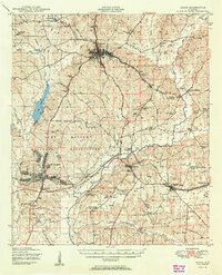
1950 · Enterprise
USGS Topo · 1:62,500
1950 · Izagora
USGS Topo · 1:24,000
1950 · Brundidge
USGS Topo · 1:62,500
1950 · Esto
USGS Topo · 1:24,000