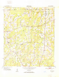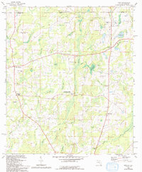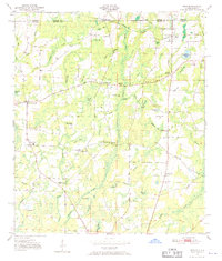
1950 Map of Esto
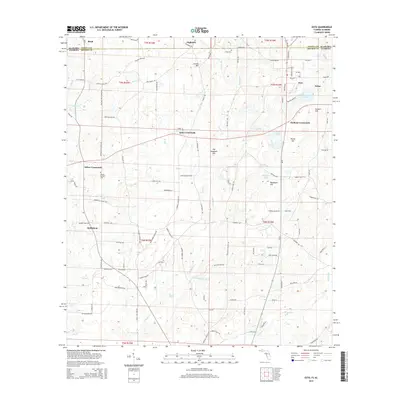
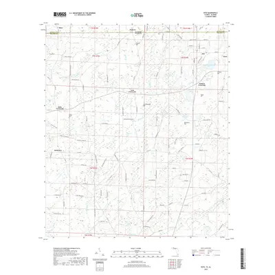
USGS Topo · Published 1970About this map
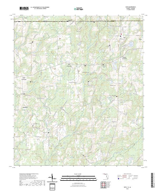
Bethlehem West Florida Camp Meeting Ground and the rural community of Bethlehem anchor the southern portion of this mid-century survey along the Alabama-Florida border. The landscape is a network of small agricultural hubs such as Ards Crossroads, Miller Crossroads, and Holland Crossroads, reflecting an era of decentralized rural life where churches and schools formed the primary social infrastructure. The northern edge is defined by the Louisville and Nashville railroad corridor, running parallel to the Nashville Road through the town of Esto.
Find a feature on this map
63 named features on this map. Tap any name to fly to it.
Don’t see what you’re looking for? This feature index may not catch every label — zoom into the map to look around manually.
Map Details
Editions of this 1950 Esto Map
This is the sole edition of this map. No revisions or reprints were ever made.
Historical Maps of Esto Through Time
8 maps found