Loading...
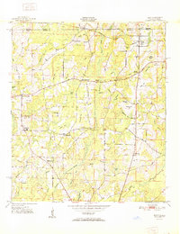
Loading map...1951 Map of Esto
USGS Topo · Published 1951About this map
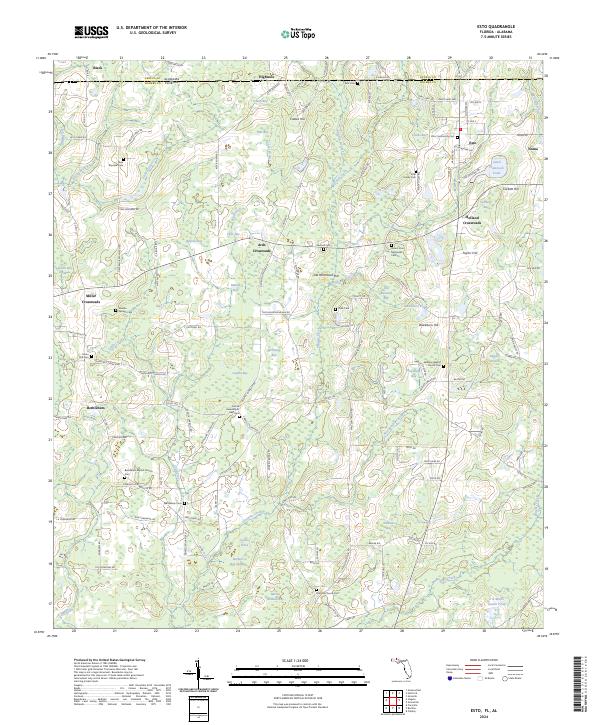
The Alabama Florida state line divides this 1951 landscape, where the northern edge of Holmes Co meets Geneva Co. Rural life here centers on a network of crossroads settlements and communal spaces, most notably the Bethlehem West Florida Camp Meeting Ground and the Bethlehem Sch. The terrain is defined by a distinct system of "bays" or swampy depressions such as Kirkland Bay and Laughlin Bay, which break up the higher ground of Pine Ridge and Coates Hill.
Find a feature on this map
60 named features on this map. Tap any name to fly to it.
Don’t see what you’re looking for? This feature index may not catch every label — zoom into the map to look around manually.
Map Details
Date Portrayed1951
Date Published1951
PublisherU.S. Geological Survey
Map TypeTopographic
Scale1:24,000
Physical Dimensions22.9 x 29.8 inches
Editions of this 1951 Esto Map
This is the sole edition of this map. No revisions or reprints were ever made.
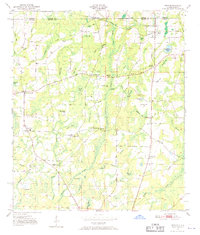
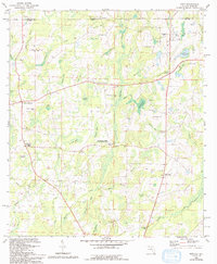
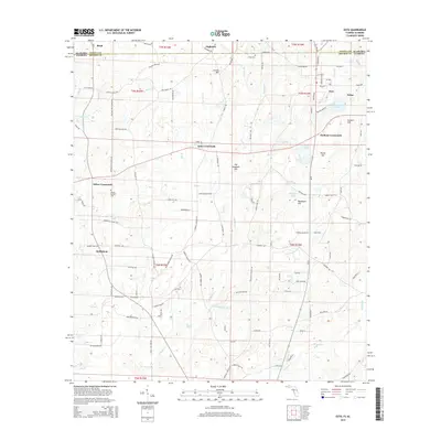
Historical Maps of Esto Through Time
8 maps found

Featured Locations
Source Details
SourceU.S. Geological Survey
CopyrightPublic Domain