Old Maps of Daleville, Alabama
Explore 27 old maps of Daleville, spanning from 1942 to today. These high-resolution historic maps reveal how streets, neighborhoods, landmarks, and natural features evolved over time — perfect for genealogy, metal detecting, research, and local history exploration.
What you can do with these maps:
- See how Daleville changed over time: Compare historical maps to modern-day views to trace roads, homesites, rail lines & more.
- View detailed metadata: Each map includes creators, publishers, year, scale, and archive source.
- Overlay maps with satellite & LiDAR: Visualize the past alongside modern tools to explore terrain & human change.
- Trusted historical sources: Maps sourced from the USGS, Library of Congress, and other archives.
- Access maps your way: View online, download high-res files, or order prints for personal or research use.
Start exploring old maps of Daleville to uncover forgotten places, hidden landmarks, and the deep history beneath your feet.
Daleville, AL maps
(27)- 1942 Map of Enterprise
 1942 Enterprise1942 Print · USGSSoutheast Alabama is shown at a wartime turning point, just as Camp Rucker was established. Family historians can trace hundreds of rural landmarks, from Oak Grove Ch & Sch to the New Prospect Ch.
 - 1948 Map of Ozark, 1965 Print
 1948 Ozark1965 Print · USGSPostwar Dale County reveals a landscape in transition as rural milling communities adjust to the expansion of Camp Rucker. Genealogists can trace family landmarks like Claybank Church, Salem Cemetery, and the old crossroads at Browns Crossroads.
 - 1950 Map of Ozark
 1950 Ozark1950 Print · USGSSoutheast Alabama in the postwar era is defined here by the rise of Camp Rucker and the steady rhythms of Dale County farming. Researchers can find many family landmarks, from Marley Mill to the Klondike School and Johnstown Cemetery.2 unique versions available
 - 1950 Map of Enterprise
 1950 Enterprise1950 Print · USGSEnterprise and the surrounding Wiregrass region of South Alabama appear here in the mid-century, defined by small farming communities and a growing military presence. Local historians can trace family-named landmarks like Dismukes Bridge and Weeks Bridge or locate rural landmarks such as Old Tabernacle Church and Shiloh School.2 unique versions available
 - 1953 Map of Dothan, 1966 Print
 1953 Dothan1966 Print · USGSSoutheast Alabama and Southwest Georgia are captured during a period of massive hydraulic and military expansion in the mid-fifties. Genealogists and historians can trace rural landmarks like Antioch Church and School, the Andrew Jackson Monument, and the early footprint of Fort Rucker Military Reservation.3 unique versions available
 - 1954 Map of Dothan
 1954 Dothan1954 Print · USGSSoutheast Alabama and Southwest Georgia are seen here in the mid-fifties, during a decade of military expansion and rural transition. Genealogists can trace the location of country schools like Little Zion School or the grounds of Kolomoki Mounds State Park.
 - 1955 Map of Dothan
 1955 Dothan1955 Print · USGSSoutheast Alabama and Southwest Georgia are captured here in the mid-fifties, showing a landscape of river-port history and growing military bases. Researchers can trace rural life via the Andrew Jackson Monument, Bauxite mines, and the Central of Georgia RR.
 - 1957 Map of Hartford, 1958 Print
 1957 Hartford1958 Print · USGSSoutheastern Alabama's rural landscape is captured here in the late fifties as small communities like Hartford and Slocomb anchored the tri-county area. Genealogists can locate family landmarks such as Wright Chapel Cem, the Wicksburg Sch, and the Tate Jr High Sch.
 - 1957 Map of Clayhatchee, 1959 Print
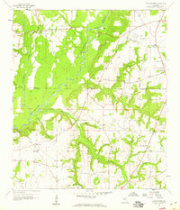 1957 Clayhatchee1959 Print · USGSThe Choctawhatchee River basin in the late fifties shows a landscape of tightly knit farming communities and country churches. Genealogists can trace family footprints through sites like Wicksburg Sch, Shiloh Cem, and Mt Gilead Ch.4 unique versions available
 - 1960 Map of Daleville, 1964 Print
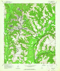 1960 Daleville1964 Print · USGSDaleville and the surrounding Wiregrass region are shown here at the height of military expansion during the early sixties. Researchers can trace the development of Fort Rucker aviation facilities alongside local sites like Moores Chapel and the Atlantic Coast Line railroad.3 unique versions available
 - 1960 Map of Enterprise, 1964 Print
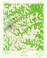 1960 Enterprise1964 Print · USGSEnterprise and the surrounding Wiregrass region are shown here in the early 1960s as military and rail infrastructure shaped the landscape. Researchers can trace rural life through landmarks like Macedonia Cem, Level Plains Crossroads, and the Atlantic Coast Line.3 unique versions available
 - 1981 Map of Dothan, 1982 Print
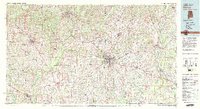 1981 Dothan1982 Print · USGSSoutheast Alabama and the tri-state border region are shown here in the early 1980s as the area thrived on military and rail connectivity. Researchers can trace historic transit lines like the Hartford and Slocomb railroad or locate family roots in Ozark, Headland, and Geneva.
 - 2011 Map of Daleville, 2011 Print
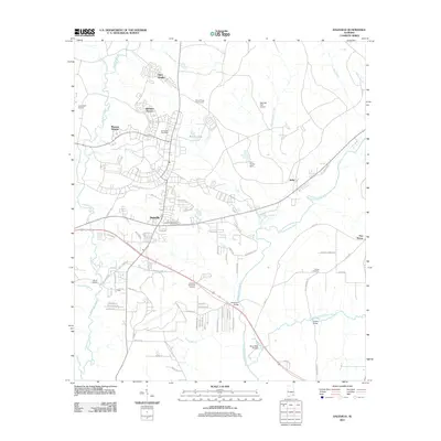 2011 Daleville2011 Print · USGSDaleville and its surrounding aviation-centered communities are captured here in the early twenty-first century. Genealogists and local historians can trace family locations near Bethel Cemetery, the neighborhood of Munson Heights, or river crossings like Lower Iron Bridge.
 - 2011 Map of Enterprise, 2011 Print
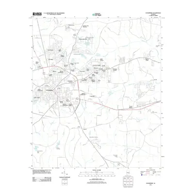 2011 Enterprise2011 Print · USGSEnterprise and the surrounding Coffee County suburbs are captured here during a period of steady growth in the early 2010s. Genealogists and local historians can locate many family sites, including Salem Cemetery, Keyton Cemetery, and the historic Coppinville area.
 - 2011 Map of Clayhatchee, 2011 Print
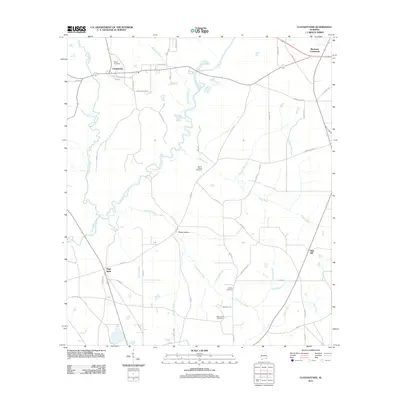 2011 Clayhatchee2011 Print · USGSSoutheast Alabama’s agricultural heartland is documented here during the early 21st century, centered on the Choctawhatchee River and its rural outskirts. Genealogists can locate family landmarks like Shiloh Cemetery, High Bluff, and Posey Hollow.
 - 2014 Map of Daleville, 2014 Print
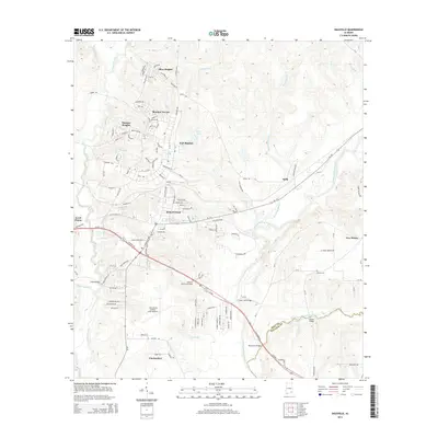 2014 Daleville2014 Print · USGSSoutheast Alabama comes into focus in this modern era, centered on the military and residential expansion surrounding Fort Rucker. Researchers can trace the layout of Daleville and Clayhatchee alongside historic river crossings like Lower Iron Bridge and Golden Bridge.
 - 2014 Map of Enterprise, 2014 Print
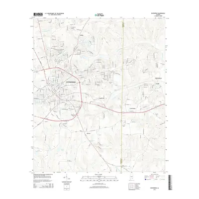 2014 Enterprise2014 Print · USGSEnterprise and its eastern neighbors are captured here in the early twenty-first century as suburban growth reaches the Dale County line. Researchers can locate several community landmarks including Salem Cemetery, the Enterprise-Ozark Community College, and the settlement of Level Plains.
 - 2014 Map of Clayhatchee, 2014 Print
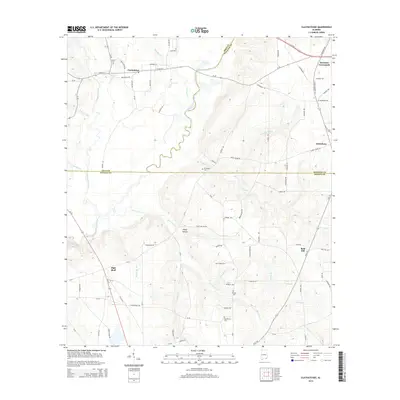 2014 Clayhatchee2014 Print · USGSSoutheastern Alabama's Wiregrass country is captured here during the early 2010s, centered on the Choctawhatchee River and the rural junction of three counties. Genealogists and local historians can trace family locations near Shiloh Cem, the Posey Hollow settlement, and Backems Crossroads.
 - 2018 Map of Daleville, 2018 Print
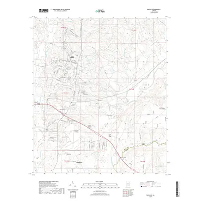 2018 Daleville2018 Print · USGSSoutheast Alabama in the late 2010s reveals a unique military and rural landscape centered on the activities of the Wiregrass region. Researchers can trace the perimeter of Fort Rucker, locate Bethel Cem, and follow the winding path of the Choctawhatchee River.
 - 2018 Map of Clayhatchee, 2018 Print
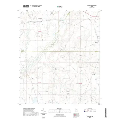 2018 Clayhatchee2018 Print · USGSSoutheast Alabama at the junction of Dale, Houston, and Geneva counties is captured here in 2018, centered on the Choctawhatchee River basin. Researchers can trace rural lineages through established sites like Clayhatchee, Macedonia Cem, and the high ground at Bald Hill.
 - 2018 Map of Enterprise, 2018 Print
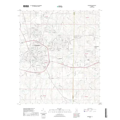 2018 Enterprise2018 Print · USGSEnterprise and its eastern neighbors are shown in the late 2010s, revealing the modern growth of this Coffee County hub. Researchers can locate numerous local burial sites and landmarks like Enterprise City Cem, Keyton, and Salem Cem.
 - 2020 Map of Enterprise, 2020 Print
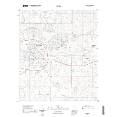 2020 Enterprise2020 Print · USGSEnterprise and the surrounding Wiregrass region are shown here in modern detail, as the city expanded toward the Dale County border. Researchers can locate family landmarks like the Coffee County Courthouse, Salem Ch, and the Enterprise City Cem.
 - 2020 Map of Daleville, 2020 Print
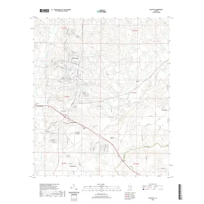 2020 Daleville2020 Print · USGSSoutheast Alabama is depicted here during a period of sustained military and civilian growth. Researchers can trace the layout of Fort Rucker and Daleville, identifying local landmarks like Bethel Cem and the confluence of the Choctawhatchee River.
 - 2020 Map of Clayhatchee, 2020 Print
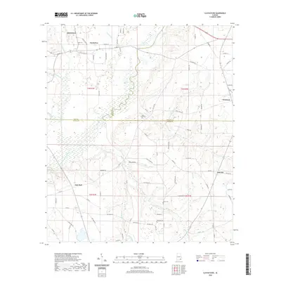 2020 Clayhatchee2020 Print · USGSThe wiregrass region of Alabama is meticulously detailed here, showing the rural landscape around Clayhatchee and Daleville in 2020. Researchers can trace land ties and local history through features like Macedonia Cem, Posey Hollow, and the banks of the Choctawhatchee River.
 - 2024 Map of Enterprise, 2024 Print
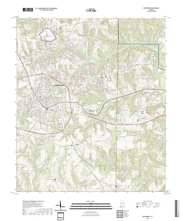 2024 Enterprise2024 Print · USGSThe city of ENTERPRISE and its surrounding Wiregrass communities are shown here in the 2020s as urban growth meets longstanding rural landmarks. Researchers can trace local genealogy through the Enterprise City Cem, Salem Cem, and Keyton Cem or locate civic sites like the Coffee County Courthouse.
Showing maps 1-25 of 27
Top cities near Daleville
- Dothan historical maps
- Enterprise historical maps
- Ozark historical maps
- Geneva historical maps
- Hartford historical maps
- Taylor historical maps
See more
Frequently asked questions
- What are the different types of historical maps available for Daleville?
- What is the oldest map of Daleville?
- Where can I purchase historical maps of Daleville for my home or office?
- Where can I download high-res historical maps of Daleville?
- Are there historical topographic maps available for Daleville?
- Is there historical aerial imagery available for Daleville?
- Where are historical maps of Daleville sourced from?