Old Maps of Daleville, Alabama for Academic Research
Study the evolution of Daleville with 27 high-resolution historic maps. Whether you're teaching, researching, or modeling changes in land use, these maps provide essential visual documentation of urban, environmental, and geographic change.
- Analyze long-term change: Track patterns in development, transportation, and natural features.
- Ideal for environmental or urban studies: Support academic projects with primary historical map data.
- Use in the classroom or lab: Educators and researchers rely on these maps to bring historical context to life.
These maps are a powerful tool for teaching, research, and visualizing how Daleville has changed over the decades.
Daleville, AL maps
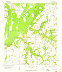
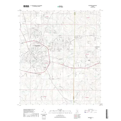
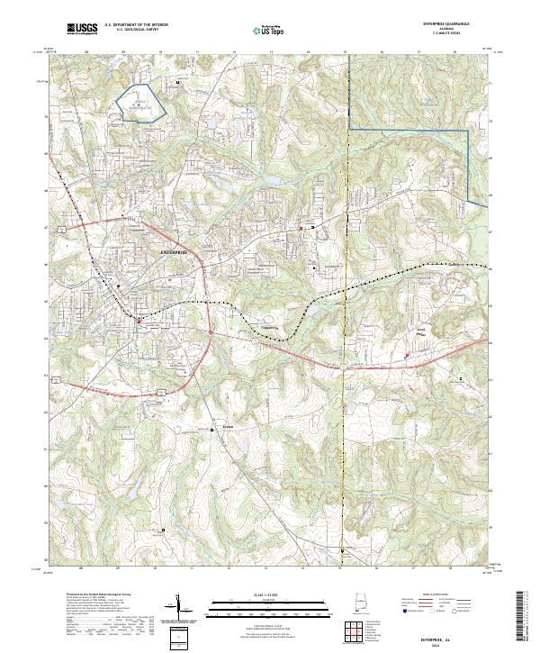
(27)- 1942 Map of Enterprise
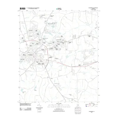
 1942 Enterprise1942 Print · USGSSoutheast Alabama is shown at a wartime turning point, just as Camp Rucker was established. Family historians can trace hundreds of rural landmarks, from Oak Grove Ch & Sch to the New Prospect Ch.
 - 1948 Map of Ozark, 1965 Print
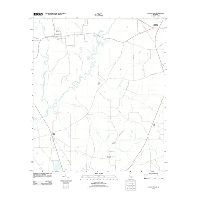
 1948 Ozark1965 Print · USGSPostwar Dale County reveals a landscape in transition as rural milling communities adjust to the expansion of Camp Rucker. Genealogists can trace family landmarks like Claybank Church, Salem Cemetery, and the old crossroads at Browns Crossroads.
 - 1950 Map of Ozark
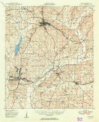 1950 Ozark1950 Print · USGSSoutheast Alabama in the postwar era is defined here by the rise of Camp Rucker and the steady rhythms of Dale County farming. Researchers can find many family landmarks, from Marley Mill to the Klondike School and Johnstown Cemetery.2 unique versions available
 - 1950 Map of Enterprise
 1950 Enterprise1950 Print · USGSEnterprise and the surrounding Wiregrass region of South Alabama appear here in the mid-century, defined by small farming communities and a growing military presence. Local historians can trace family-named landmarks like Dismukes Bridge and Weeks Bridge or locate rural landmarks such as Old Tabernacle Church and Shiloh School.2 unique versions available
 - 1953 Map of Dothan, 1966 Print
 1953 Dothan1966 Print · USGSSoutheast Alabama and Southwest Georgia are captured during a period of massive hydraulic and military expansion in the mid-fifties. Genealogists and historians can trace rural landmarks like Antioch Church and School, the Andrew Jackson Monument, and the early footprint of Fort Rucker Military Reservation.3 unique versions available
 - 1954 Map of Dothan
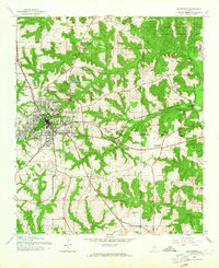
 1954 Dothan1954 Print · USGSSoutheast Alabama and Southwest Georgia are seen here in the mid-fifties, during a decade of military expansion and rural transition. Genealogists can trace the location of country schools like Little Zion School or the grounds of Kolomoki Mounds State Park.
 - 1955 Map of Dothan
 1955 Dothan1955 Print · USGSSoutheast Alabama and Southwest Georgia are captured here in the mid-fifties, showing a landscape of river-port history and growing military bases. Researchers can trace rural life via the Andrew Jackson Monument, Bauxite mines, and the Central of Georgia RR.
 - 1957 Map of Hartford, 1958 Print
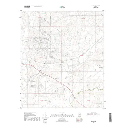
 1957 Hartford1958 Print · USGSSoutheastern Alabama's rural landscape is captured here in the late fifties as small communities like Hartford and Slocomb anchored the tri-county area. Genealogists can locate family landmarks such as Wright Chapel Cem, the Wicksburg Sch, and the Tate Jr High Sch.
 - 1957 Map of Clayhatchee, 1959 Print
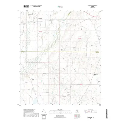
 1957 Clayhatchee1959 Print · USGSThe Choctawhatchee River basin in the late fifties shows a landscape of tightly knit farming communities and country churches. Genealogists can trace family footprints through sites like Wicksburg Sch, Shiloh Cem, and Mt Gilead Ch.4 unique versions available
 - 1960 Map of Daleville, 1964 Print
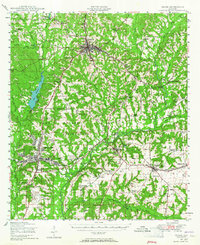
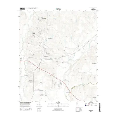
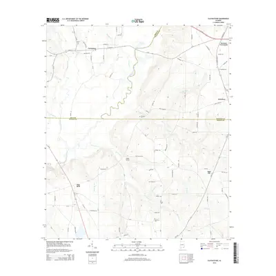
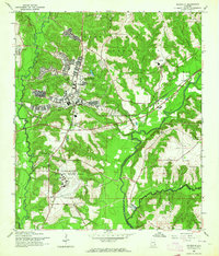 1960 Daleville1964 Print · USGSDaleville and the surrounding Wiregrass region are shown here at the height of military expansion during the early sixties. Researchers can trace the development of Fort Rucker aviation facilities alongside local sites like Moores Chapel and the Atlantic Coast Line railroad.3 unique versions available
 - 1960 Map of Enterprise, 1964 Print
 1960 Enterprise1964 Print · USGSEnterprise and the surrounding Wiregrass region are shown here in the early 1960s as military and rail infrastructure shaped the landscape. Researchers can trace rural life through landmarks like Macedonia Cem, Level Plains Crossroads, and the Atlantic Coast Line.3 unique versions available
 - 1981 Map of Dothan, 1982 Print
 1981 Dothan1982 Print · USGSSoutheast Alabama and the tri-state border region are shown here in the early 1980s as the area thrived on military and rail connectivity. Researchers can trace historic transit lines like the Hartford and Slocomb railroad or locate family roots in Ozark, Headland, and Geneva.
 - 2011 Map of Daleville, 2011 Print
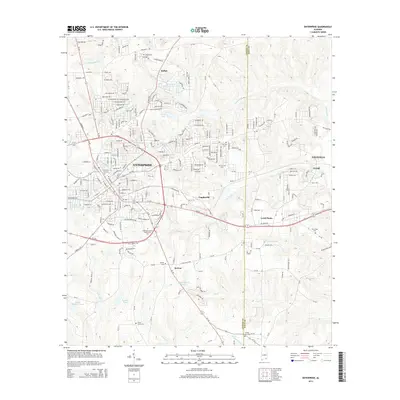
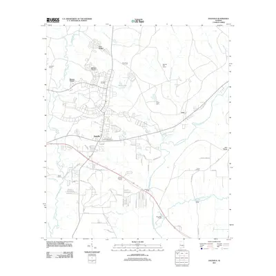 2011 Daleville2011 Print · USGSCovers Daleville, including Level Plains, Clayhatchee, and other nearby areas
 - 2011 Map of Enterprise, 2011 Print
 2011 Enterprise2011 Print · USGSCovers Daleville, including Enterprise, Level Plains, and other nearby areas
 - 2011 Map of Clayhatchee, 2011 Print
 2011 Clayhatchee2011 Print · USGSCovers Daleville, including Clayhatchee, High Bluff, and other nearby areas
 - 2014 Map of Daleville, 2014 Print
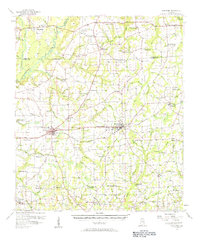
 2014 Daleville2014 Print · USGSCovers Daleville, including Level Plains, Clayhatchee, and other nearby areas
 - 2014 Map of Enterprise, 2014 Print
 2014 Enterprise2014 Print · USGSCovers Daleville, including Enterprise, Level Plains, and other nearby areas
 - 2014 Map of Clayhatchee, 2014 Print
 2014 Clayhatchee2014 Print · USGSCovers Daleville, including Clayhatchee, High Bluff, and other nearby areas
 - 2018 Map of Daleville, 2018 Print
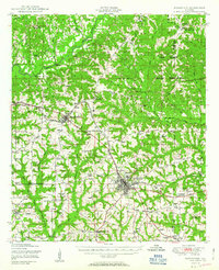
 2018 Daleville2018 Print · USGSCovers Daleville, including Level Plains, Clayhatchee, and other nearby areas
 - 2018 Map of Clayhatchee, 2018 Print
 2018 Clayhatchee2018 Print · USGSCovers Daleville, including Clayhatchee, High Bluff, and other nearby areas
 - 2018 Map of Enterprise, 2018 Print
 2018 Enterprise2018 Print · USGSCovers Daleville, including Enterprise, Level Plains, and other nearby areas
 - 2020 Map of Enterprise, 2020 Print
 2020 Enterprise2020 Print · USGSCovers Daleville, including Enterprise, Level Plains, and other nearby areas
 - 2020 Map of Daleville, 2020 Print
 2020 Daleville2020 Print · USGSCovers Daleville, including Level Plains, Clayhatchee, and other nearby areas
 - 2020 Map of Clayhatchee, 2020 Print
 2020 Clayhatchee2020 Print · USGSCovers Daleville, including Clayhatchee, High Bluff, and other nearby areas
 - 2024 Map of Enterprise, 2024 Print
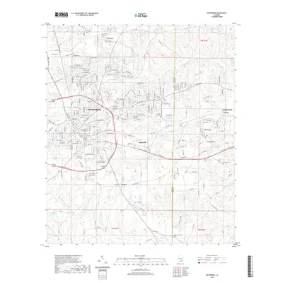
 2024 Enterprise2024 Print · USGSThe city of ENTERPRISE and its surrounding Wiregrass communities are shown here in the 2020s as urban growth meets longstanding rural landmarks. Researchers can trace local genealogy through the Enterprise City Cem, Salem Cem, and Keyton Cem or locate civic sites like the Coffee County Courthouse.
Showing maps 1-25 of 27
Top cities near Daleville
- Dothan historical maps
- Enterprise historical maps
- Ozark historical maps
- Geneva historical maps
- Hartford historical maps
- Taylor historical maps
See more
Frequently asked questions
- What are the different types of historical maps available for Daleville?
- What is the oldest map of Daleville?
- Where can I purchase historical maps of Daleville for my home or office?
- Where can I download high-res historical maps of Daleville?
- Are there historical topographic maps available for Daleville?
- Is there historical aerial imagery available for Daleville?
- Where are historical maps of Daleville sourced from?