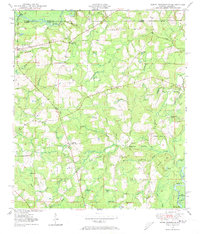
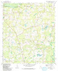
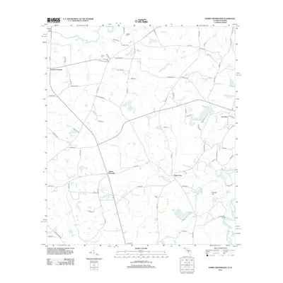
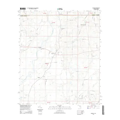
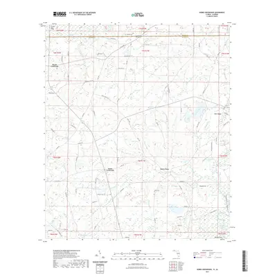
1949 Map of Hobbs Crossroads
USGS Topo · Published 1973About this map
The Pea River and its myriad tributaries define this rural borderland between Geneva Co Holmes Co, where small farming communities and country churches are linked by a network of unimproved roads. The topography is marked by significant lowland features such as Eldridge Bay, Jameson Bay, and Powell Bay, reflecting the wet pine-flat landscape characteristic of the region. Local travel and commerce in the late 1940s relied on landmarks like Stephens Ferry Bridge and the evocative Hog And Hominy Road.
Find a feature on this map
58 named features on this map. Tap any name to fly to it.
Don’t see what you’re looking for? This feature index may not catch every label — zoom into the map to look around manually.
Map Details
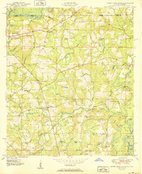
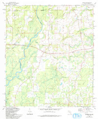
Editions of this 1949 Hobbs Crossroads Map
This is the sole edition of this map. No revisions or reprints were ever made.
Historical Maps of Hobbs Crossroads Through Time
23 maps found
1949 Hobbs Crossroads
Holmes County, FL
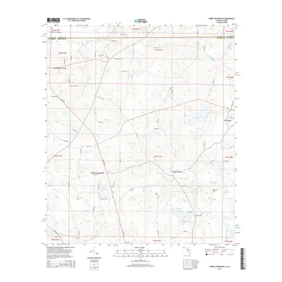
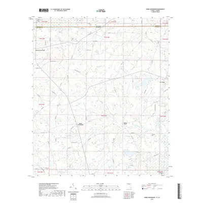
1950 Hobbs Cross Roads
Holmes County, FL
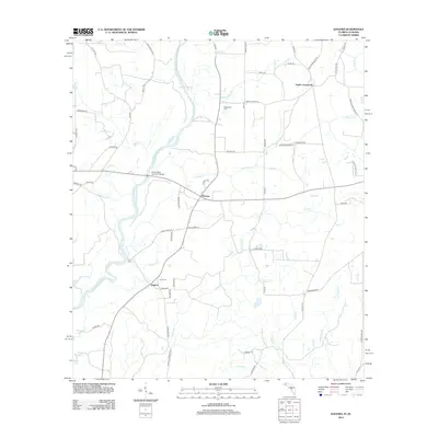
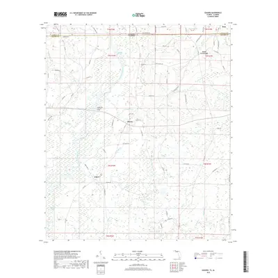
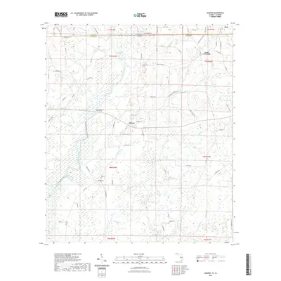
1950 Izagora
Holmes County, FL
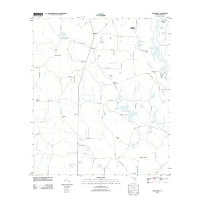
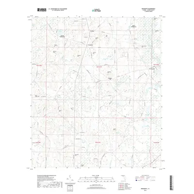
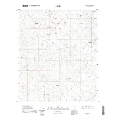
1950 Prosperity
Holmes County, FL
1982 Hobbs Crossroads
Holmes County, FL
1982 Izagora
Holmes County, FL
1982 Prosperity
Holmes County, FL
1994 Izagora
Holmes County, FL
2012 Hobbs Crossroads
Holmes County, FL
2012 Izagora
Holmes County, FL
2012 Prosperity
Holmes County, FL
2015 Hobbs Crossroads
Holmes County, FL
2015 Izagora
Holmes County, FL

2015 Prosperity
Holmes County, FL
2018 Hobbs Crossroads
Holmes County, FL
2018 Izagora
Holmes County, FL
2018 Prosperity
Holmes County, FL
2021 Hobbs Crossroads
Holmes County, FL
2021 Izagora
Holmes County, FL
2021 Prosperity
Holmes County, FL
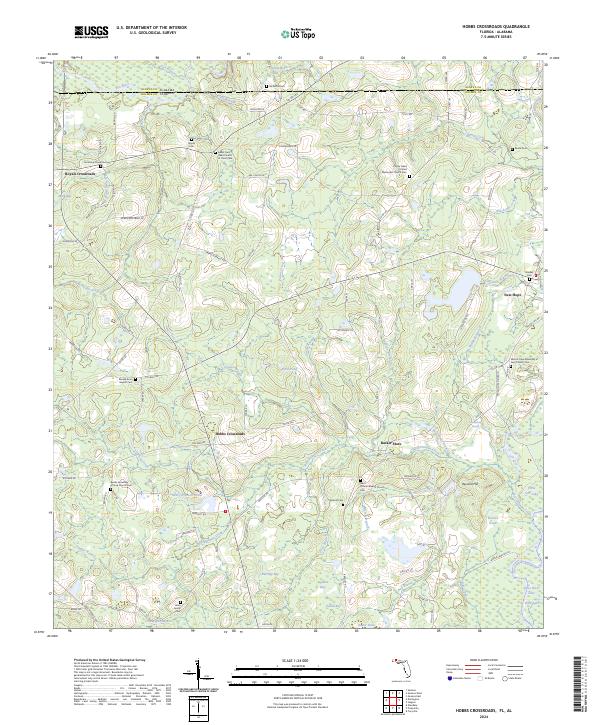
2024 Hobbs Crossroads
Holmes County, FL
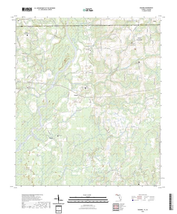
2024 Izagora
Holmes County, FL
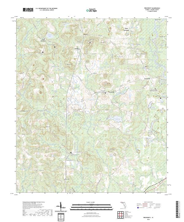
2024 Prosperity
Holmes County, FL