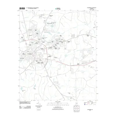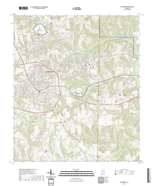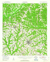
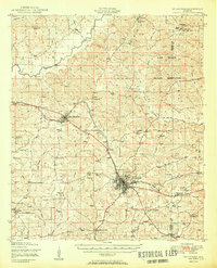
1950 Map of Enterprise
USGS Topo · Published 1950About this map
Enterprise serves as the commercial hub for this 1950 survey, where the Atlantic Coast Line railroad branches northwest toward New Brockton and Richburg. The surrounding landscape of Coffee and Dale Counties is deeply rural, characterized by a dense network of country churches like Old Tabernacle Church and Calvary Church, alongside small educational centers such as Shiloh School. In the northeastern corner, the Camp Rucker Military Reservation borders the Pea River, which is crossed by named landmarks including Dismukes Bridge and Roe Bridge.
Find a feature on this map
56 named features on this map. Tap any name to fly to it.
Don’t see what you’re looking for? This feature index may not catch every label — zoom into the map to look around manually.
Map Details
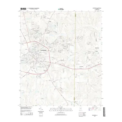
Editions of this 1950 Enterprise Map
2 editions found
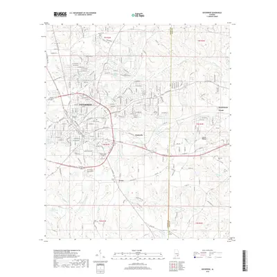
Historical Maps of Enterprise Through Time
8 maps found