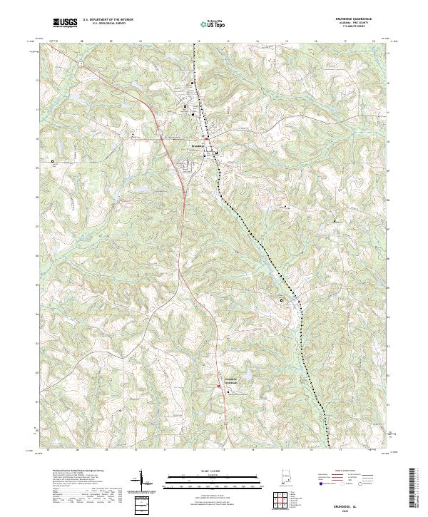
1948 Map of Brundidge
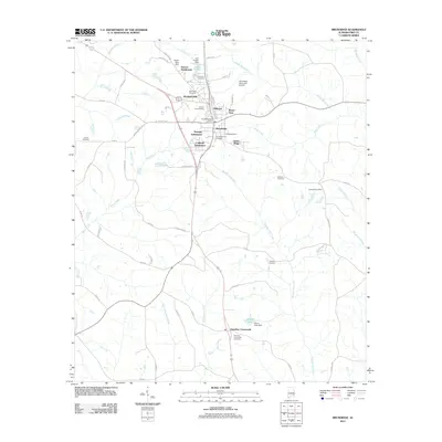
USGS Topo · Published 1965About this map
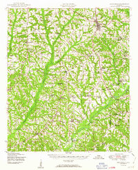
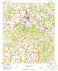
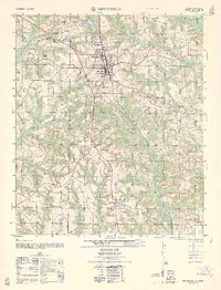
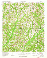
Brundidge serves as the primary hub of this landscape, situated along the Atlantic Coast Line railroad and the Bee Line Highway. The rural character of Pike and Coffee Counties is defined by a dense network of country institutions, often pairing community functions as seen at St Johns Church & School and Springfield Church & School. The economy of the late 1940s is reflected in the water-driven infrastructure of Lowerys Mill and the Roeton Millpond, while many small settlements like Tarentum and Hamilton Crossroads center on local schools. In the southeast, the Pea River carves through the terrain, joined by Whitewater Creek and Clearwater Creek. This survey captures a moment of infrastructure transition, noting a section of road under construction just north of the Camp Rucker Military Reservation boundary.
Find a feature on this map
65 named features on this map. Tap any name to fly to it.
Don’t see what you’re looking for? This feature index may not catch every label — zoom into the map to look around manually.
Map Details
Editions of this 1948 Brundidge Map
This is the sole edition of this map. No revisions or reprints were ever made.
Historical Maps of Troy Through Time
9 maps found