
1968 Map of Louisville
USGS Topo · Published 1971About this map
Louisville serves as the central hub of this Barbour County landscape, situated at the junction of the Central of Georgia railroad and local rural routes. In the late 1960s, the area's agricultural and social character is clearly defined by numerous small country churches, such as Mt Pleasant Ch and Bethlehem Ch, alongside educational landmarks like Dixie Academy. The economy and topography are shaped by a network of waterways including Pea Creek and Hurricane Creek, which supported industrial features like Robertson Millpond and Haglers Millpond. Cultural life of the era is captured by the presence of a Drive-in Theatre near Baxters, while the rural settlement pattern is marked by clusters at Pratts and Hobdy. This survey reflects a moment when the railroad still dictated the orientation of these small Alabama communities before the transition to modern highway dominance.
Find a feature on this map
28 named features on this map. Tap any name to fly to it.
Don’t see what you’re looking for? This feature index may not catch every label — zoom into the map to look around manually.
Map Details
Editions of this 1968 Louisville Map
This is the sole edition of this map. No revisions or reprints were ever made.
Other maps of this area

1953 · Dothan
USGS Topo · 1:250,000

1954 · Dothan
USGS Topo · 1:250,000

1955 · Dothan
USGS Topo · 1:250,000

1967 · Clayton South
USGS Topo · 1:24,000

1968 · Clayton North
USGS Topo · 1:24,000

1968 · Perote
USGS Topo · 1:24,000
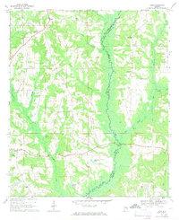
1968 · Josie
USGS Topo · 1:24,000

1968 · Mount Andrew
USGS Topo · 1:24,000
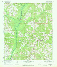
1969 · Elamville
USGS Topo · 1:24,000
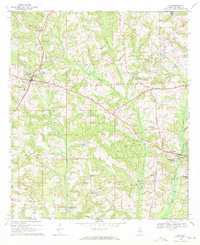
1969 · Clio
USGS Topo · 1:24,000