2000s (21st Century) Maps of Clayton, Alabama
Explore 15 historic maps of Clayton from the 2000s (21st Century). These maps offer a rare glimpse into what life looked like during the 2000s — showing old roads, neighborhoods, homes, and landmarks that have changed or disappeared over time.
Whether you're researching your family's past, planning a metal detecting trip, or studying how Clayton's landscape evolved across the 2000s, these high-resolution maps are a powerful tool for exploring the history of this region.
- Focus on a specific era: All maps on this page are from the 2000s, giving you a focused view of this time period.
- See what’s changed: Compare century-old streets, trails, and buildings to today's modern landscape using overlays and satellite layers.
- Research with precision: Use these maps for genealogy, historical research, land use analysis, or educational projects.
- View, download, or print: Maps are fully viewable online in high resolution, and can be downloaded or printed for your own records.
Start exploring Clayton's history through authentic maps from the 2000s. This is your window into the past.
Clayton, AL maps
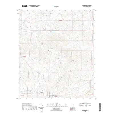
(15)- 2011 Map of Clayton South, 2011 Print
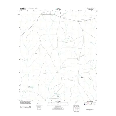 2011 Clayton South2011 Print · USGSCovers Clayton, including Lime Sink, Lindsey, and other nearby areas
 - 2011 Map of Mount Andrew, 2011 Print
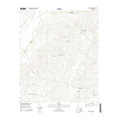
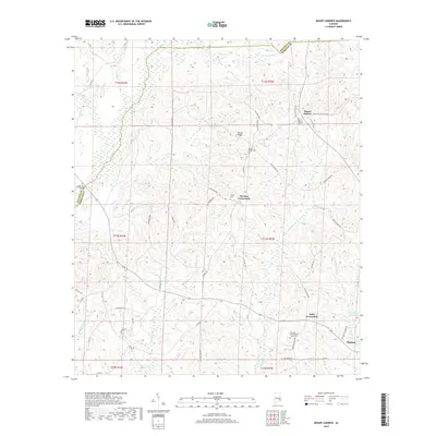
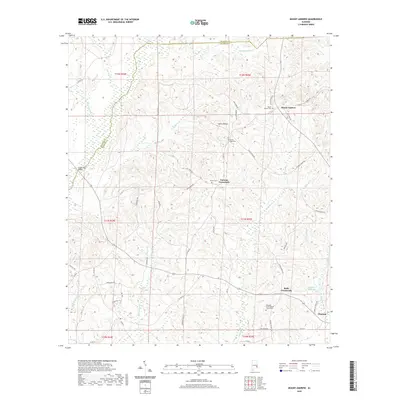
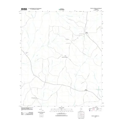 2011 Mount Andrew2011 Print · USGSCovers Clayton, including Garmon Crossroads, Mount Andrew, and other nearby areas
 - 2011 Map of Clayton North, 2011 Print
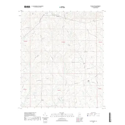
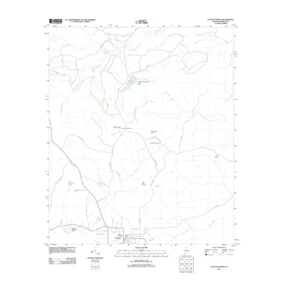 2011 Clayton North2011 Print · USGSCovers Clayton, including Barbour County, United States, and other nearby areas
 - 2014 Map of Clayton South, 2014 Print
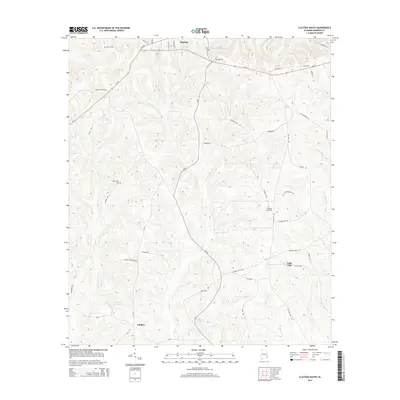 2014 Clayton South2014 Print · USGSCovers Clayton, including Lime Sink, Lindsey, and other nearby areas
 - 2014 Map of Mount Andrew, 2014 Print
 2014 Mount Andrew2014 Print · USGSCovers Clayton, including Garmon Crossroads, Mount Andrew, and other nearby areas
 - 2014 Map of Clayton North, 2014 Print
 2014 Clayton North2014 Print · USGSCovers Clayton, including Barbour County, United States, and other nearby areas
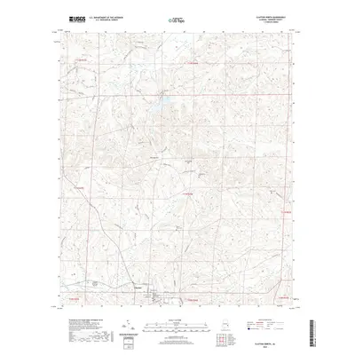
 - 2018 Map of Clayton South, 2018 Print
 2018 Clayton South2018 Print · USGSCovers Clayton, including Lime Sink, Lindsey, and other nearby areas
 - 2018 Map of Mount Andrew, 2018 Print
 2018 Mount Andrew2018 Print · USGSCovers Clayton, including Garmon Crossroads, Mount Andrew, and other nearby areas
 - 2018 Map of Clayton North, 2018 Print
 2018 Clayton North2018 Print · USGSCovers Clayton, including Barbour County, United States, and other nearby areas
 - 2020 Map of Clayton North, 2020 Print
 2020 Clayton North2020 Print · USGSCovers Clayton, including Barbour County, United States, and other nearby areas
 - 2020 Map of Mount Andrew, 2020 Print
 2020 Mount Andrew2020 Print · USGSCovers Clayton, including Garmon Crossroads, Mount Andrew, and other nearby areas
 - 2020 Map of Clayton South, 2020 Print
 2020 Clayton South2020 Print · USGSCovers Clayton, including Lime Sink, Lindsey, and other nearby areas
 - 2024 Map of Clayton North, 2024 Print
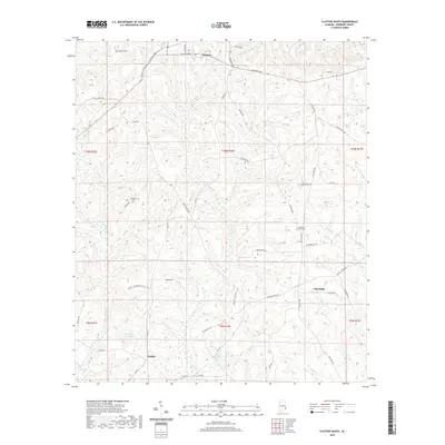
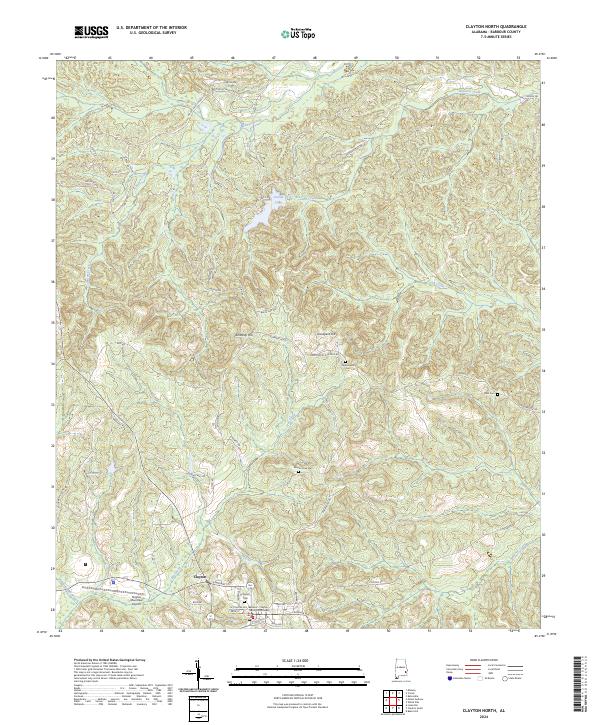 2024 Clayton North2024 Print · USGSBarbour County settlement and the rolling terrain of southeast Alabama are documented here in the modern era. Genealogists and local historians can locate family sites like Blair Cem, Mount Olive Cem, and the historic Clayton Cem.
 - 2024 Map of Mount Andrew, 2024 Print
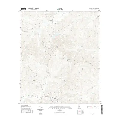
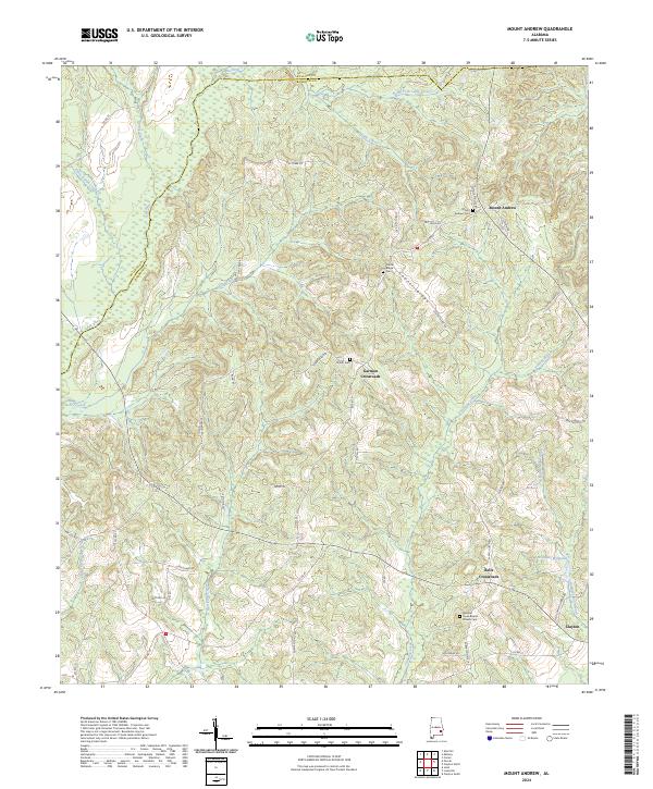 2024 Mount Andrew2024 Print · USGSBarbour County’s rural crossroads and ridge-top settlements are captured here in the contemporary era. Genealogists can trace family names and community landmarks at Mount Andrew Cem, Bells Crossroads, and the historic Pleasant Grove Baptist Church.
 - 2024 Map of Clayton South, 2024 Print
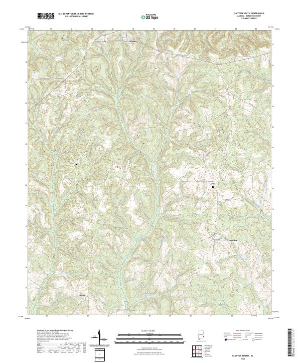 2024 Clayton South2024 Print · USGSBarbour County's rural landscape south of Clayton is documented here in the early twenty-first century. Researchers can trace family history through sites like Warren Cem, Pleasant View Cem, and the settlements of Lindsey and Lime Sink.
End of results
Showing maps 1-15 of 15
Top cities near Clayton
- Eufaula historical maps
- Clio historical maps
- Midway historical maps
- Louisville historical maps
- Bakerhill historical maps
- Blue Springs historical maps
Frequently asked questions
- What are the different types of historical maps available for Clayton?
- What is the oldest map of Clayton?
- Where can I purchase historical maps of Clayton for my home or office?
- Where can I download high-res historical maps of Clayton?
- Are there historical topographic maps available for Clayton?
- Is there historical aerial imagery available for Clayton?
- Where are historical maps of Clayton sourced from?