Old Maps of Clio, Alabama for Academic Research
Study the evolution of Clio with 17 high-resolution historic maps. Whether you're teaching, researching, or modeling changes in land use, these maps provide essential visual documentation of urban, environmental, and geographic change.
- Analyze long-term change: Track patterns in development, transportation, and natural features.
- Ideal for environmental or urban studies: Support academic projects with primary historical map data.
- Use in the classroom or lab: Educators and researchers rely on these maps to bring historical context to life.
These maps are a powerful tool for teaching, research, and visualizing how Clio has changed over the decades.
Clio, AL maps
(17)- 1953 Map of Dothan, 1966 Print
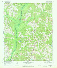
 1953 Dothan1966 Print · USGSSoutheast Alabama and Southwest Georgia are captured during a period of massive hydraulic and military expansion in the mid-fifties. Genealogists and historians can trace rural landmarks like Antioch Church and School, the Andrew Jackson Monument, and the early footprint of Fort Rucker Military Reservation.3 unique versions available
 - 1954 Map of Dothan
 1954 Dothan1954 Print · USGSSoutheast Alabama and Southwest Georgia are seen here in the mid-fifties, during a decade of military expansion and rural transition. Genealogists can trace the location of country schools like Little Zion School or the grounds of Kolomoki Mounds State Park.
 - 1955 Map of Dothan
 1955 Dothan1955 Print · USGSSoutheast Alabama and Southwest Georgia are captured here in the mid-fifties, showing a landscape of river-port history and growing military bases. Researchers can trace rural life via the Andrew Jackson Monument, Bauxite mines, and the Central of Georgia RR.
 - 1969 Map of Elamville, 1971 Print
 1969 Elamville1971 Print · USGSBarbour and Pike counties are captured in the late sixties as the Pea River wetlands and family farms shaped local life. Genealogists can trace rural roots through landmarks like St Pauls Cem Ch, the Central of Georgia rail line, and Sutton Cem.
 - 1969 Map of Clio, 1971 Print
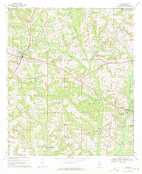 1969 Clio1971 Print · USGSBarbour County in the late sixties shows a landscape of established family farms and small crossroads settlements tied together by the Central of Georgia railroad. Genealogists and local historians can trace rural landmarks from Blue Springs State Park to small churches like Fine Hope Ch and Antioch Ch.2 unique versions available
 - 1979 Map of Elamville, 1984 Print
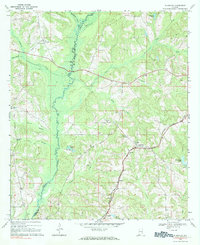 1979 Elamville1984 Print · USGSBarbour County and the Pike County line are shown in the late sixties as a network of small settlements and creek-side farms. Genealogists can trace family landmarks like Sutton Cem, Doster, and churches such as Sweet Oak Ch.
 - 1981 Map of Troy, 1982 Print
 1981 Troy1982 Print · USGSThe Chattahoochee River valley and the wiregrass region of Alabama come alive in the early eighties as the Walter F George Reservoir reshapes the eastern border. Genealogists can trace family roots through historic railroad towns like Brundidge and Louisville or explore the rural surroundings of Blue Springs State Park.
 - 2011 Map of Elamville, 2011 Print
 2011 Elamville2011 Print · USGSCovers Clio, including Doster, Elamville, and other nearby areas
 - 2011 Map of Clio, 2011 Print
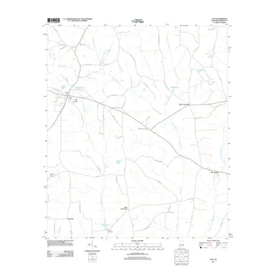 2011 Clio2011 Print · USGSCovers Clio, including Blue Springs, Teals Crossroads, and other nearby areas
 - 2014 Map of Clio, 2014 Print
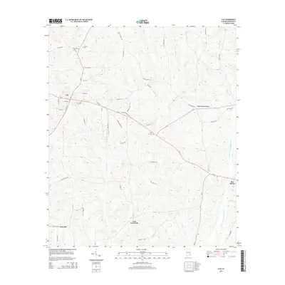 2014 Clio2014 Print · USGSCovers Clio, including Blue Springs, Teals Crossroads, and other nearby areas
 - 2014 Map of Elamville, 2014 Print
 2014 Elamville2014 Print · USGSCovers Clio, including Doster, Elamville, and other nearby areas
 - 2018 Map of Clio, 2018 Print
 2018 Clio2018 Print · USGSCovers Clio, including Blue Springs, Teals Crossroads, and other nearby areas
 - 2018 Map of Elamville, 2018 Print
 2018 Elamville2018 Print · USGSCovers Clio, including Doster, Elamville, and other nearby areas
 - 2020 Map of Clio, 2020 Print
 2020 Clio2020 Print · USGSCovers Clio, including Blue Springs, Teals Crossroads, and other nearby areas
 - 2020 Map of Elamville, 2020 Print
 2020 Elamville2020 Print · USGSCovers Clio, including Doster, Elamville, and other nearby areas
 - 2024 Map of Clio, 2024 Print
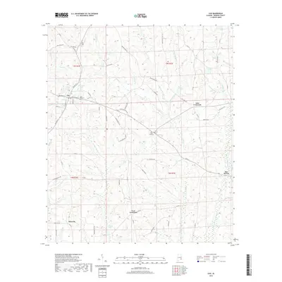
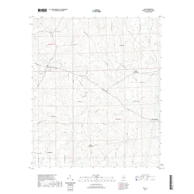
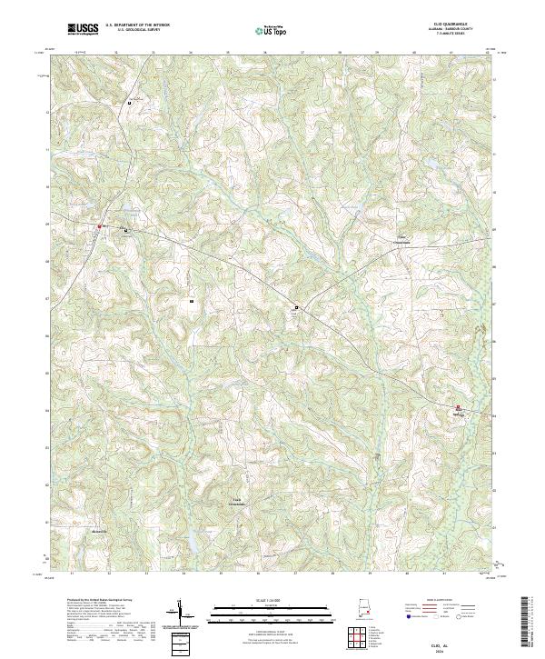 2024 Clio2024 Print · USGSBarbour County's rural crossroads and family homesteads are documented here during the early twenty-first century. Genealogists and local historians can trace legacy sites like Pea River Cem, the settlement of Blue Springs, and family-named water features like Tillmans Pond.
 - 2024 Map of Elamville, 2024 Print
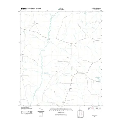
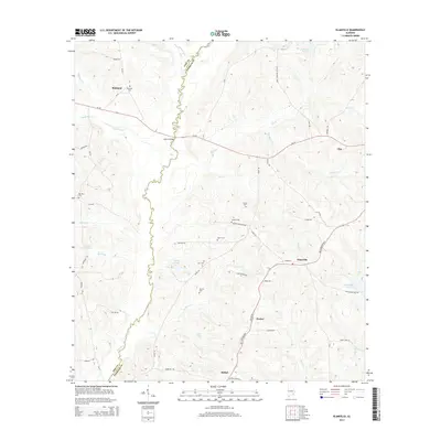
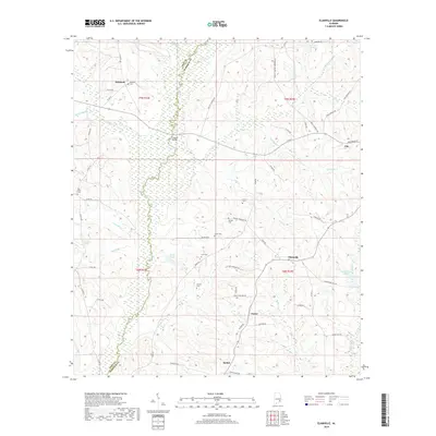
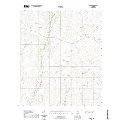
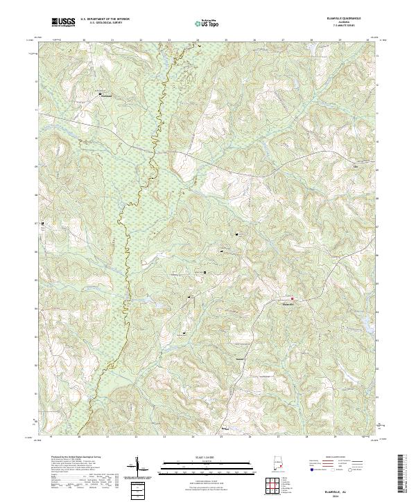 2024 Elamville2024 Print · USGSSoutheast Alabama at the Barbour and Pike county line reveals a landscape of enduring rural settlements and winding river bottoms. Genealogists and historians can trace family roots through several local landmarks like Richland Cem, Danner Cem, and the community at Elamville.
End of results
Showing maps 1-17 of 17
Top cities near Clio
- Ozark historical maps
- Clayton historical maps
- Brundidge historical maps
- Ariton historical maps
- Louisville historical maps
- Banks historical maps
See more
Frequently asked questions
- What are the different types of historical maps available for Clio?
- What is the oldest map of Clio?
- Where can I purchase historical maps of Clio for my home or office?
- Where can I download high-res historical maps of Clio?
- Are there historical topographic maps available for Clio?
- Is there historical aerial imagery available for Clio?
- Where are historical maps of Clio sourced from?