Old Maps of Butler, Alabama
Explore 22 old maps of Butler, spanning from 1953 to today. These high-resolution historic maps reveal how streets, neighborhoods, landmarks, and natural features evolved over time — perfect for genealogy, metal detecting, research, and local history exploration.
What you can do with these maps:
- See how Butler changed over time: Compare historical maps to modern-day views to trace roads, homesites, rail lines & more.
- View detailed metadata: Each map includes creators, publishers, year, scale, and archive source.
- Overlay maps with satellite & LiDAR: Visualize the past alongside modern tools to explore terrain & human change.
- Trusted historical sources: Maps sourced from the USGS, Library of Congress, and other archives.
- Access maps your way: View online, download high-res files, or order prints for personal or research use.
Start exploring old maps of Butler to uncover forgotten places, hidden landmarks, and the deep history beneath your feet.
Butler, AL maps
(22)- 1953 Map of Meridian, 1966 Print
 1953 Meridian1966 Print · USGSEast Central Mississippi and the Alabama borderlands are captured here during a period of steady growth and infrastructure expansion. Genealogists and historians can trace rail-town development along the Gulf Mobile & Ohio Railroad and find early settlements like Scooba, Pelahatchie, and De Kalb.2 unique versions available
 - 1957 Map of Meridian
 1957 Meridian1957 Print · USGSEast Central Mississippi and parts of Western Alabama come alive in the mid-1950s, centered on the transit hub of Meridian. Researchers can trace old rail lines like the Illinois Central and find historic sites such as the Choctaw Indian Reservation and Roosevelt State Park.
 - 1965 Map of Meridian
 1965 Meridian1965 Print · USGSEast Mississippi and West Alabama are mapped here in the mid-sixties as the region's modern highway and reservoir systems began to take shape. Researchers can trace rural lineages through local landmarks like Prince Chapel and Tuscahoma Landing, or follow the historic Gulf Mobile & Ohio rail lines.
 - 1974 Map of Land, 1978 Print
 1974 Land1978 Print · USGSChoctaw County is captured here in the mid-seventies, showing the intersection of rural life and the St Louis - San Francisco railroad. Genealogists can trace family landmarks like Rock Springs Ch, Red Springs, and the Providence Cem among the creek-cut hills.
 - 1978 Map of Butler, 1979 Print
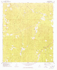
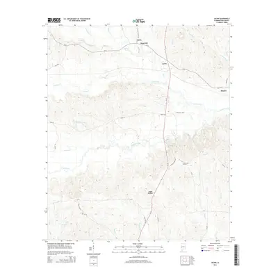
 1978 Butler1979 Print · USGSButler and Mount Sterling are shown in detail during the late 1970s as the regional landscape was shaped by aviation and local industry. Researchers can trace rural lineages through sites like Morgan Chapel, Patrician Academy, and the Butler-Choctaw Co Airport.2 unique versions available
 - 1978 Map of Jachin, 1979 Print
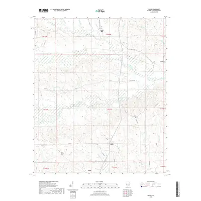
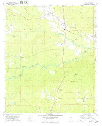 1978 Jachin1979 Print · USGSChoctaw County, Alabama, is documented here in the late seventies, showing a landscape defined by timberlands and small rural communities. Genealogists can trace family landmarks at Morning Star Ch and Chapel Hill, or locate homesites near Jachin and Robjohn.2 unique versions available
 - 1984 Map of Meridian
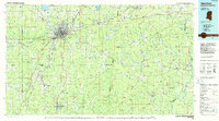 1984 Meridian1984 Print · USGSEastern Mississippi and Western Alabama come alive in the mid-1980s, showing the expansion of Meridian and the surrounding timber and river lands. Genealogists and researchers can trace family landmarks like Memorial Park Cem, the Pine Springs church, and the rural roads near Kewanee.3 unique versions available
 - 2011 Map of Jachin, 2011 Print
 2011 Jachin2011 Print · USGSCovers Butler, including Chapel Hill, Little Walker, and other nearby areas
 - 2011 Map of Land, 2011 Print
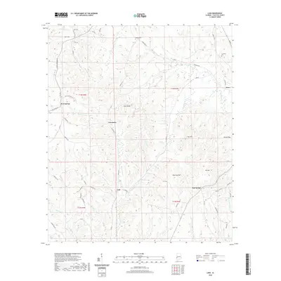
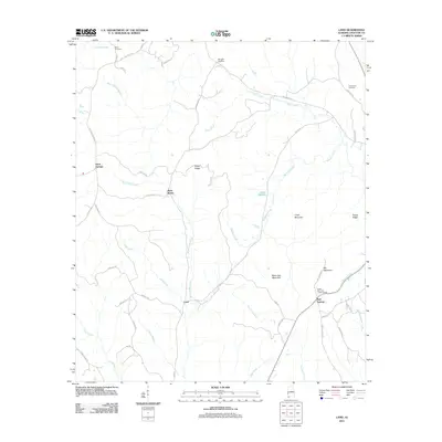 2011 Land2011 Print · USGSCovers Butler, including West Butler, Land, and other nearby areas
 - 2011 Map of Butler, 2011 Print
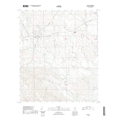
 2011 Butler2011 Print · USGSCovers Butler, including Green Acres, Mount Sterling, and other nearby areas
 - 2014 Map of Land, 2014 Print
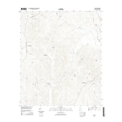 2014 Land2014 Print · USGSCovers Butler, including West Butler, Land, and other nearby areas
 - 2014 Map of Butler, 2014 Print
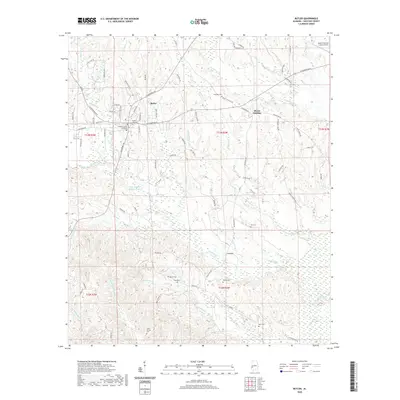
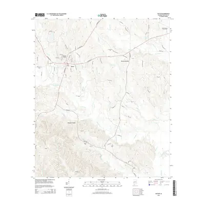 2014 Butler2014 Print · USGSCovers Butler, including Green Acres, Mount Sterling, and other nearby areas
 - 2014 Map of Jachin, 2014 Print
 2014 Jachin2014 Print · USGSCovers Butler, including Chapel Hill, Little Walker, and other nearby areas
 - 2018 Map of Land, 2018 Print
 2018 Land2018 Print · USGSCovers Butler, including West Butler, Land, and other nearby areas
 - 2018 Map of Butler, 2018 Print
 2018 Butler2018 Print · USGSCovers Butler, including Green Acres, Mount Sterling, and other nearby areas
 - 2018 Map of Jachin, 2018 Print
 2018 Jachin2018 Print · USGSCovers Butler, including Chapel Hill, Little Walker, and other nearby areas
 - 2020 Map of Jachin, 2020 Print
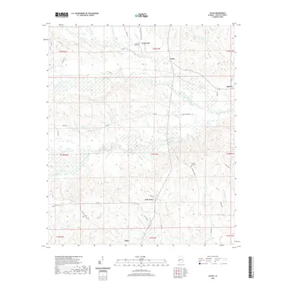 2020 Jachin2020 Print · USGSCovers Butler, including Chapel Hill, Little Walker, and other nearby areas
 - 2020 Map of Land, 2020 Print
 2020 Land2020 Print · USGSCovers Butler, including West Butler, Land, and other nearby areas
 - 2020 Map of Butler, 2020 Print
 2020 Butler2020 Print · USGSCovers Butler, including Green Acres, Mount Sterling, and other nearby areas
 - 2024 Map of Land, 2024 Print
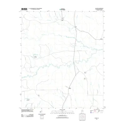
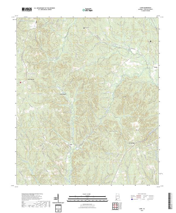 2024 Land2024 Print · USGSThe hills of Choctaw County are captured in this contemporary survey, showing the rural communities of West Butler and Rock Springs. Genealogists can locate family landmarks like Scott Cem, Ebenezer Cem, and the prominent Sickle Ridge.
 - 2024 Map of Butler, 2024 Print
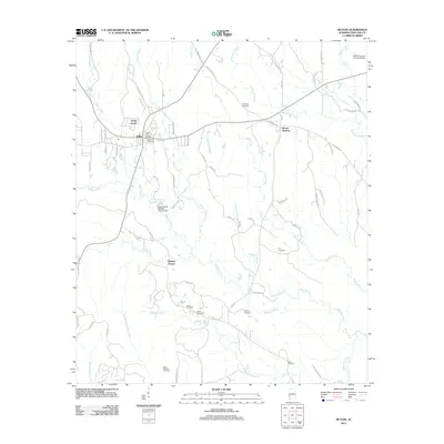
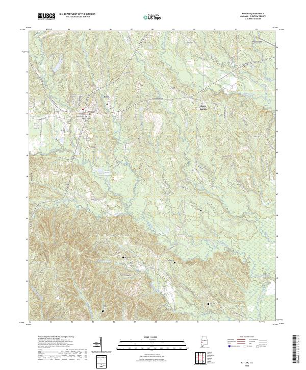 2024 Butler2024 Print · USGSThe county seat of Butler and the neighboring community of Mount Sterling are captured in detail in this recent survey. Local researchers can locate family burial sites like Bush Cem and Cedar Springs Cem or trace the drainage of Wahalak Creek and Pickett Creek.
 - 2024 Map of Jachin, 2024 Print
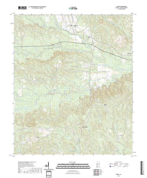 2024 Jachin2024 Print · USGSChoctaw County at the start of the 2020s remains a landscape of quiet creek bottoms and rural crossroads settlements. Researchers can locate family heritage sites like Christopher Chapel Cem and Mount Olive Cem or trace the winding course of Tuckabum Creek.
End of results
Showing maps 1-22 of 22
Top cities near Butler
- Gilbertown historical maps
- Lisman historical maps
- Pennington historical maps
- Toxey historical maps
- Needham historical maps
Top neighborhoods of Butler
Frequently asked questions
- What are the different types of historical maps available for Butler?
- What is the oldest map of Butler?
- Where can I purchase historical maps of Butler for my home or office?
- Where can I download high-res historical maps of Butler?
- Are there historical topographic maps available for Butler?
- Is there historical aerial imagery available for Butler?
- Where are historical maps of Butler sourced from?